Danville, Virginia to Eden, NC, Sept. 2024
“You can take all you want. It’s all rock around here.” -ABC Store operator, Pelham, NC

SHALE BE COMING ROUND THE MOUNTAIN
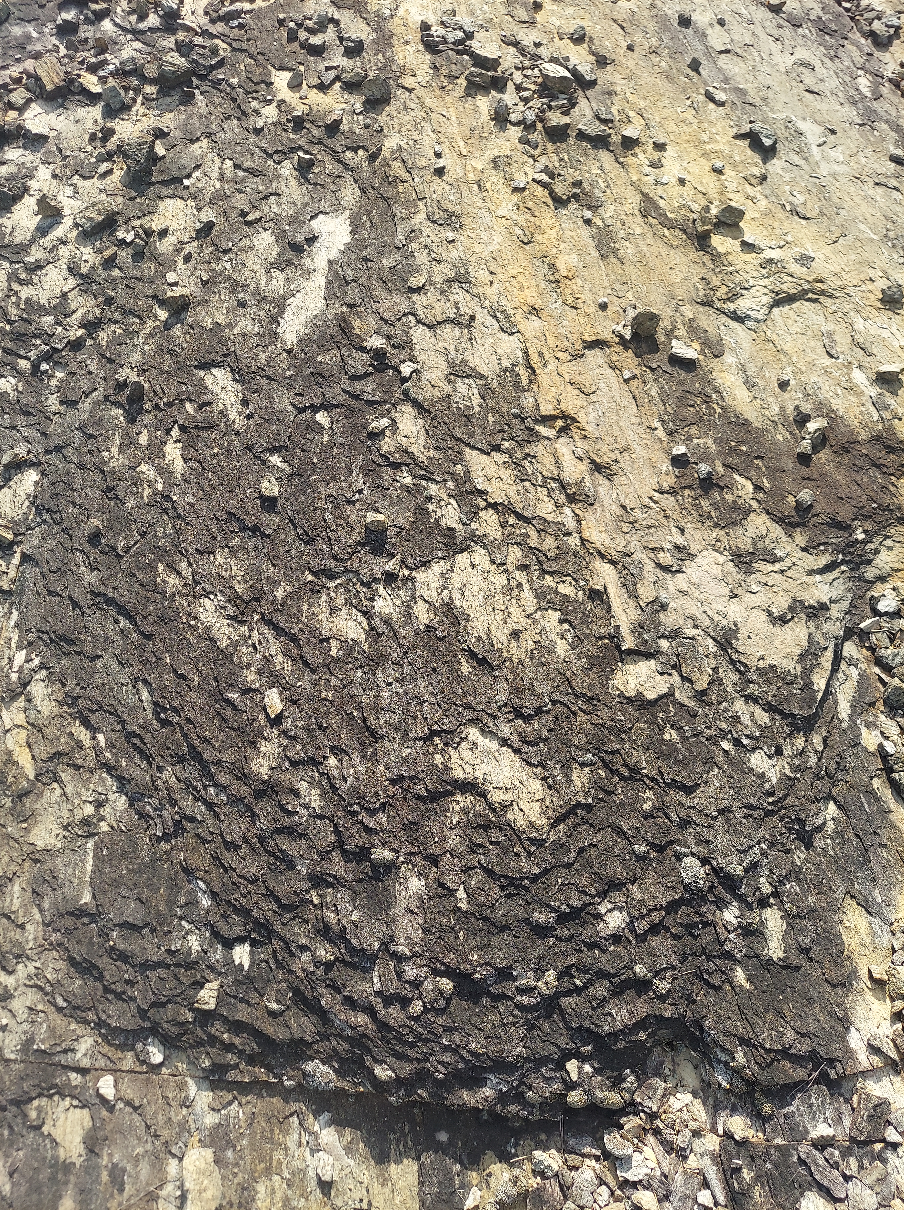
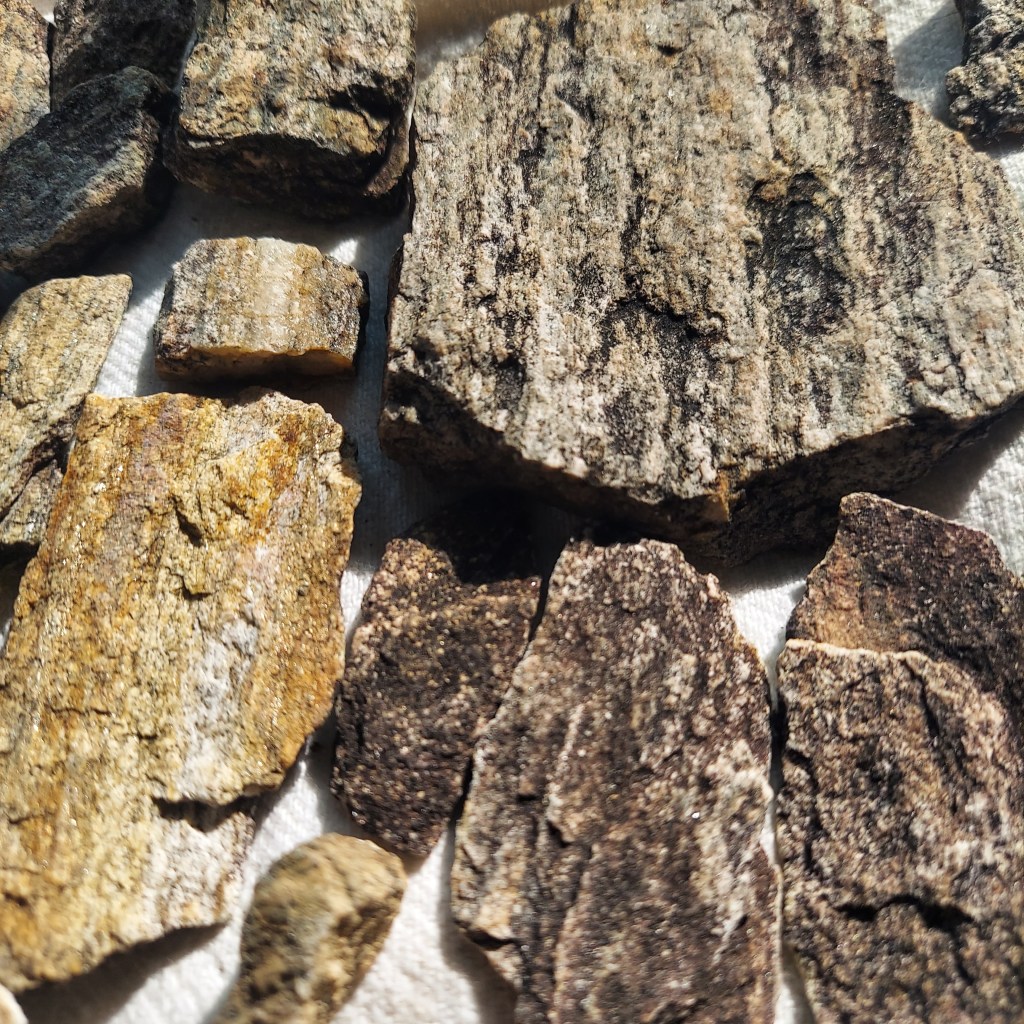
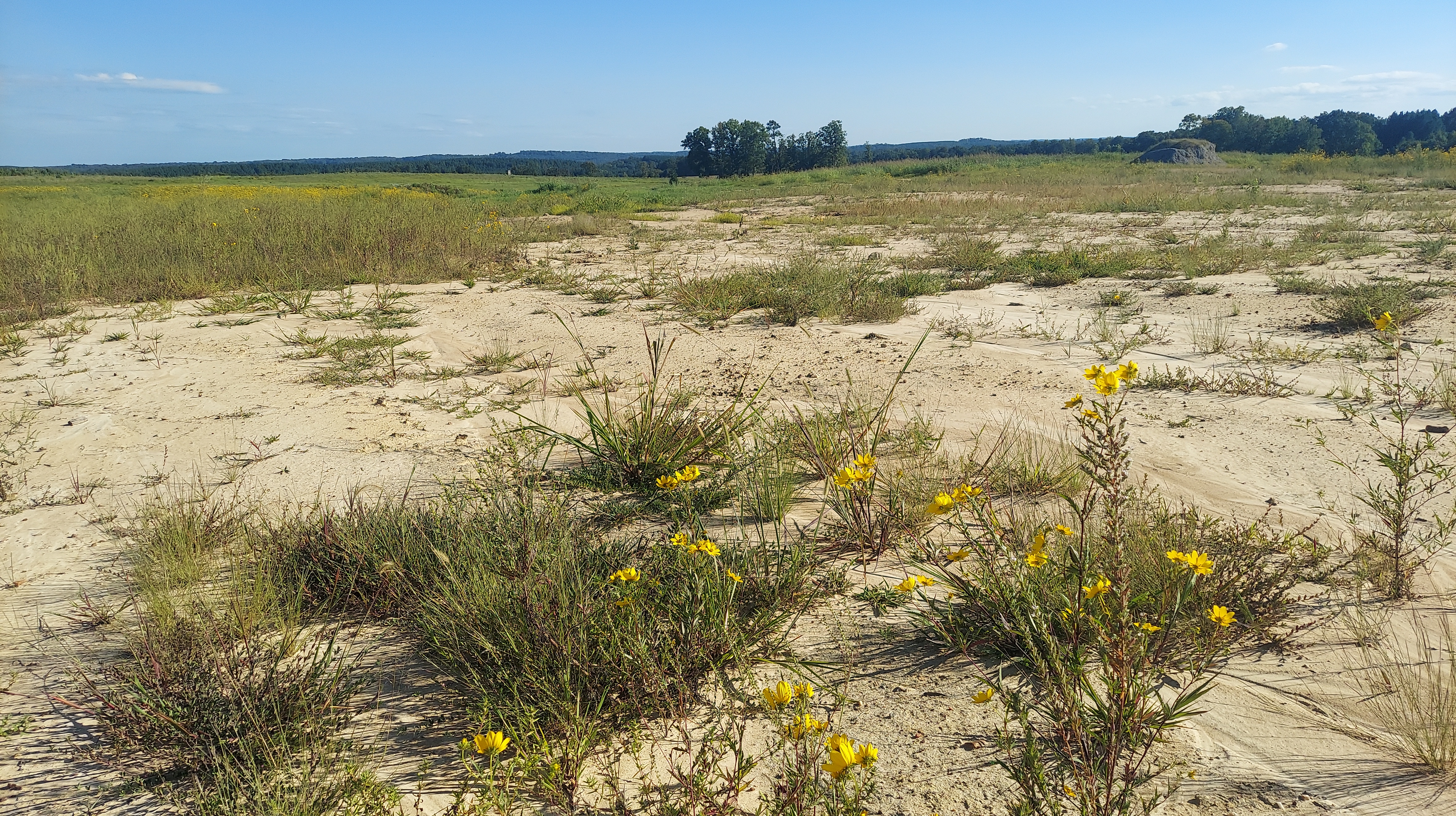
I’m standing on a multi-colored rock field between an ABC store and a visitor center near the North Carolina-Virginia line, looking downhill at what I am confident is a fabulous view of the Dan River Triassic Rift basin. A few hours earlier, I was set up in the Danville community market by the river with my jewelry and rock specimens. The rocks here are probably Solite, a form of shale (mudrock) extracted for industry in the quarry across the highway.
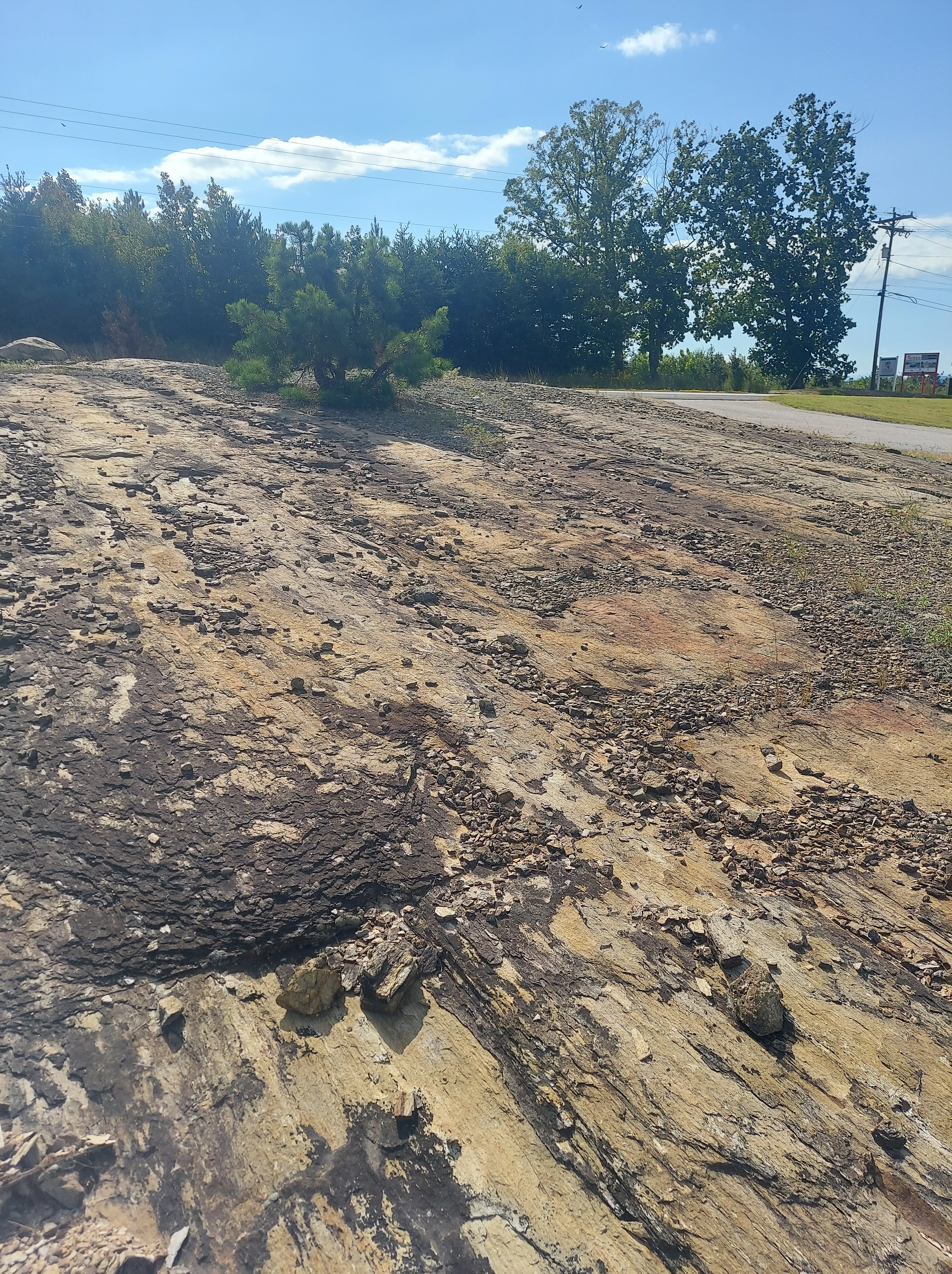
225 to 200 million years ago, a narrow lake formed in the lowland in front of me when Pangaea, the super-continent, split unevenly. Mud, sand, silt, and plant material compressed into layered, soft rock and gradually filled as the water receded, eventually becoming the basin for the Dan River and its tributaries.
Dinosaurs, ancestral crocodiles, and smaller reptiles lived in this lake basin. Footprints and skeletal remains of these animals have been preserved in the shale layers of the bedrock. “Triassic” basins like this exist along the mid-Atlantic coast, in the Piedmont from Georgia to the Bay of Fundy, and they mostly parallel the Appalachian ranges.
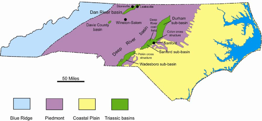
The Dan River Basin is more narrow compared to nearby basins, so its details are easier to observe. Sedimentary ancient lake basins also occur near the Pacific coastline and across the inland west; the California central valley and “Permian” Basin of western Texas/eastern New México are examples.
SO LIGHT, I’M FLAKING
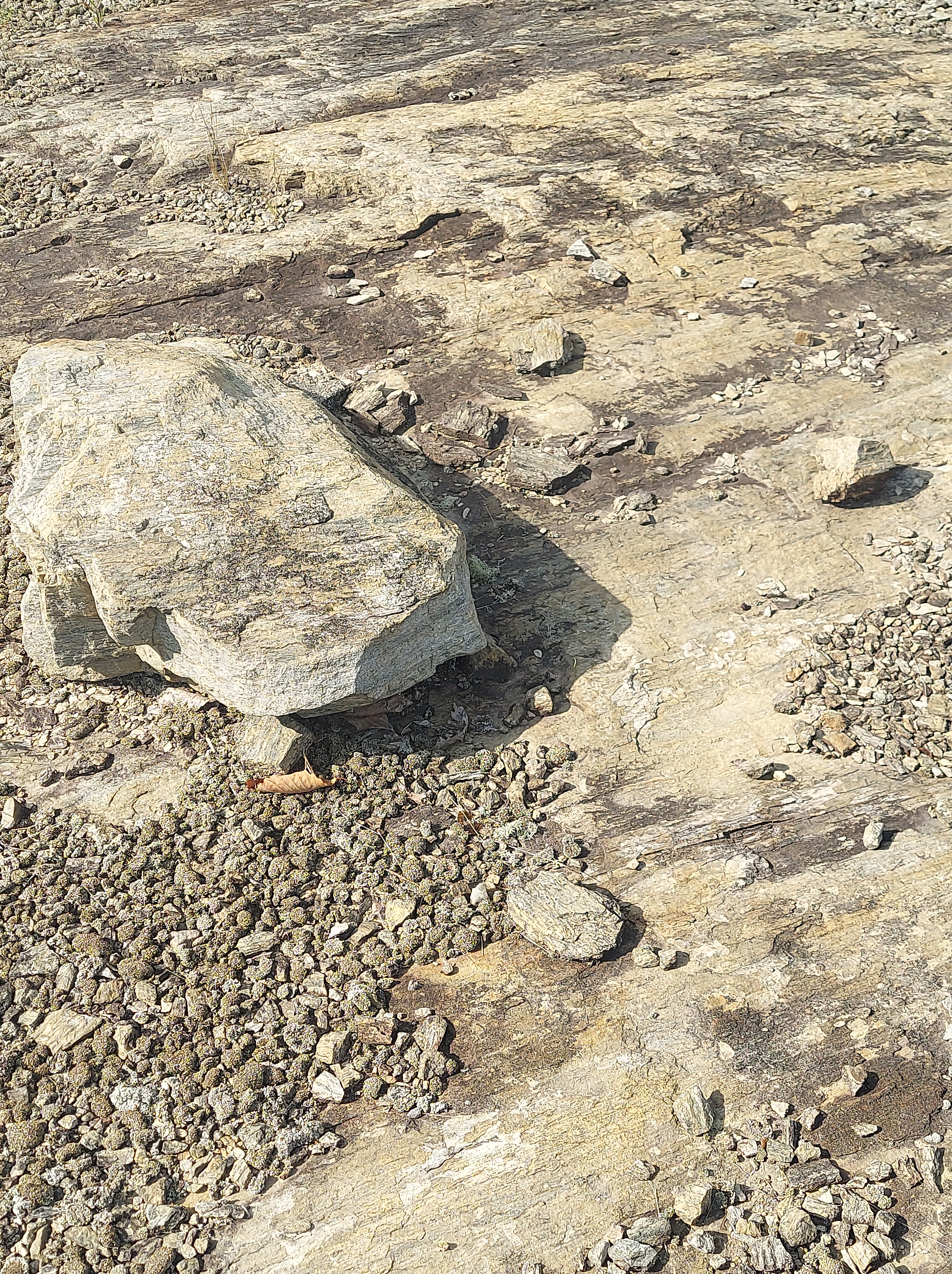
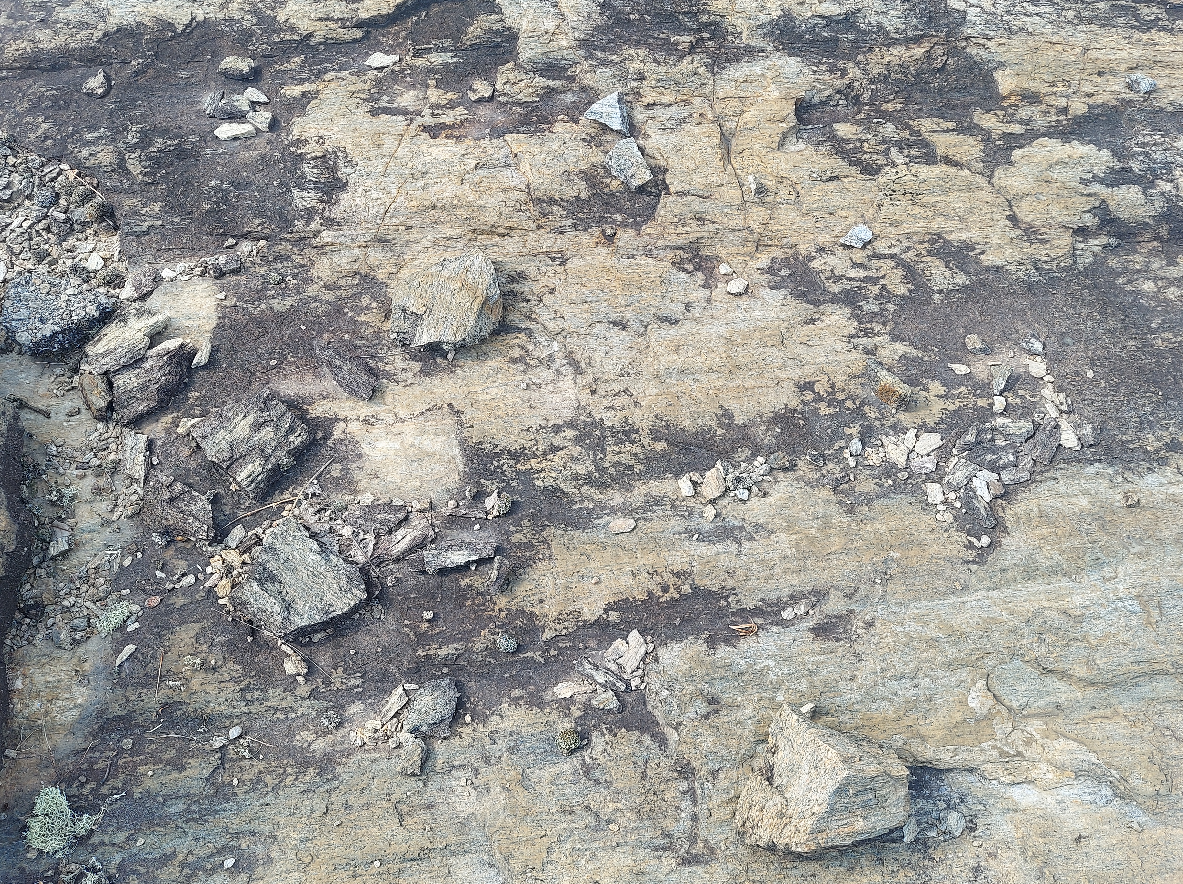
On the hill by the ABC store, the rock flakes apart like chips, it’s so light. Maybe that’s how it was named Solite. Some pieces can be pulled off of the bedrock by hand. Colored layers show mineral content and time periods of deposit. I see black, tan, and orange in here, especially. Black shale would indicate carbon content, according to my research, which can include coal or petroleum, but this area doesn’t produce either of these. The orange tones remind me of the iron-rich sandstone found in Arizona landscapes. I see purple in a few pieces. It’s fascinating.
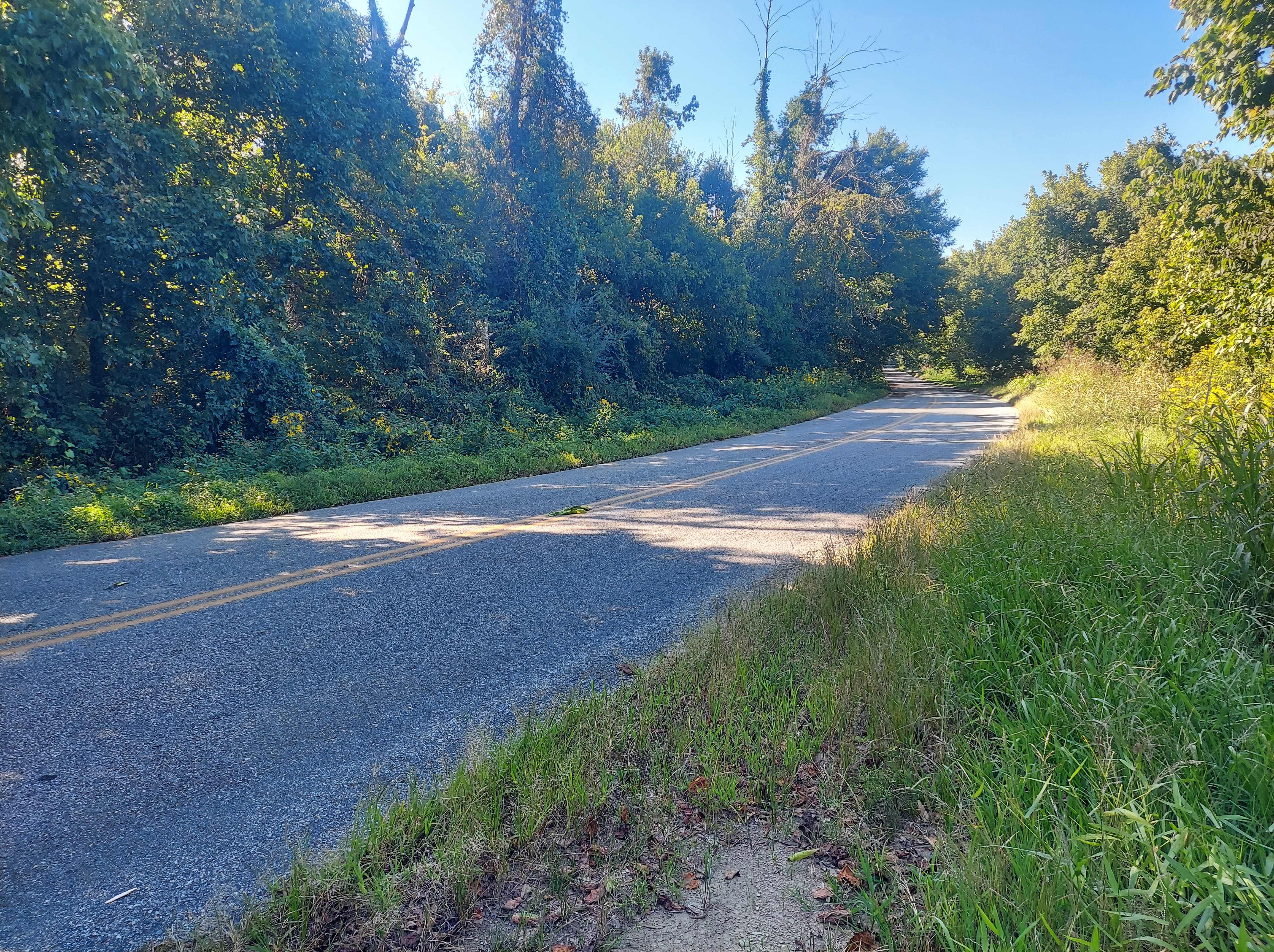
19 miles to Eden, says the sign. I descend into the basin, with no specific destination; the road winds west into a thick wooded flatland, sandy and agricultural, then swampy. The pavement seems unstable in spots. Weather was breezy and comfortable on the hilltop; now it’s noticeably warmer. In some ways, this area feels like the edge of the coastal plain.

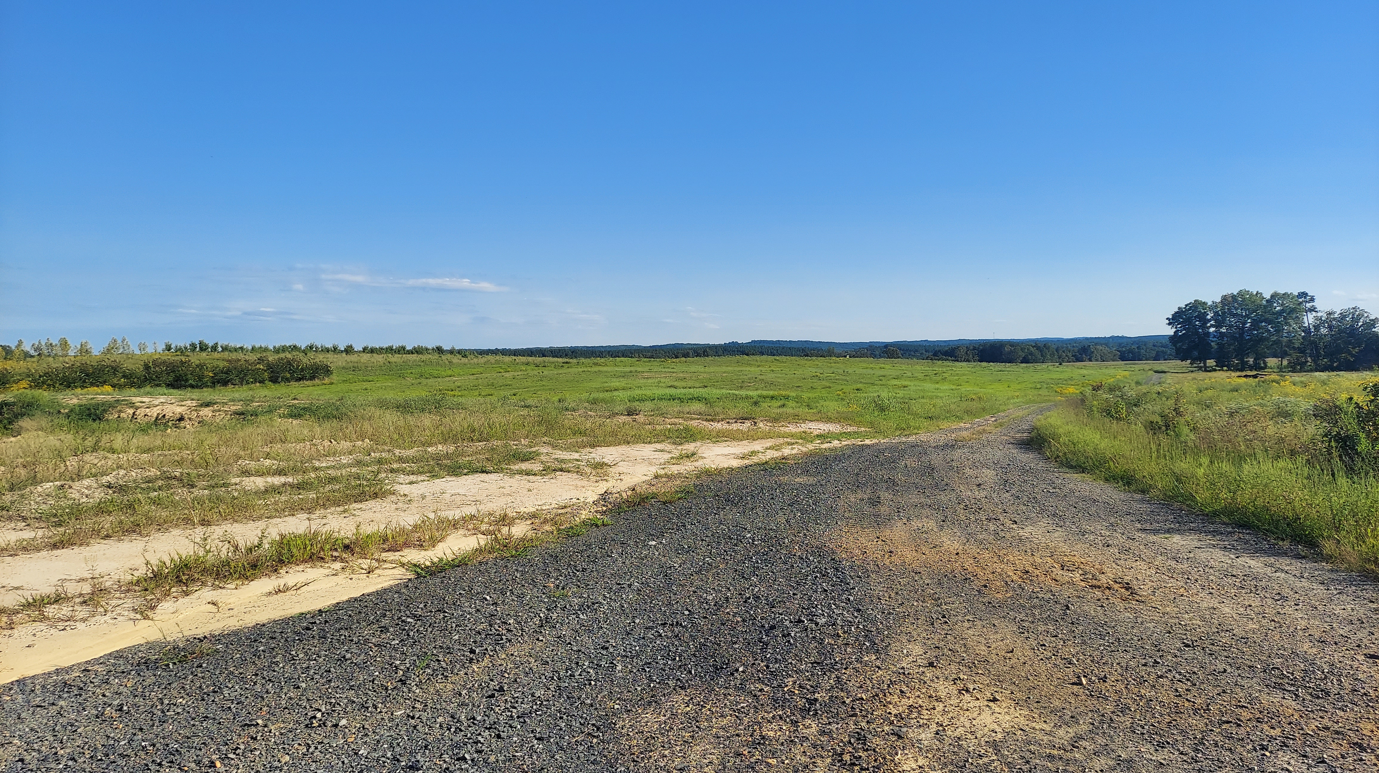
The Dan River flows northeast through the basin. Across it, east of Eden, wide sandy expanses offer serenity on a Saturday by a plant nursery. Near here, “in the middle of the basin,” are Solite quarries where many fossils have been uncovered. One of the quarries’ websites describes the geology of the area:
“Sedimentary rock formed from sediments deposited into the Dan River Basin during the Triassic time. Layers of fine-grained sediments hardened into the rock type Argillite as they became deeply buried and also tilted to the orientation seen today.”
https://www.luckstone.com/locations/eden-plant
This link, uploaded by Nick Fraser, shows maps of these Solite quarries in relation to the NC/VA border and to the larger basin area. The shale of significance is referred to as the “Cow Branch Formation,” named after a creek flowing near the quarries. More detailed geological information is also in this report.
https://www.researchgate.net/figure/a-Location-of-the-Solite-quarry-within-the-Danville-Dan-River-Basin-b-Map-showing-the_fig1_227019016
Two great photos of layered solite shale outcrops at a quarry are shown on this page by Appalachian State University’s Geological & Environmental Sciences from a field trip. https://earth.appstate.edu/academics/field-trips/triassic-solite-quarry
Triassic-era reptilian residents of the basin included gliding, long-necked Tanytrachelos and Mecistotrachelos; phytosaurs like Rutiodon (“wrinkle tooth”); and Atreipus dinosaurs. Complete insect fossils have been preserved in the solite shale, referred to as an “insect layer,” as well as fossils of Clam Shrimp. Virginiaplaces.org has pictures of the Tanytrachelos as its fossil skeleton and a rendering by Nobu Tamura.
http://www.virginiaplaces.org/geology/dino.html
The Virginia Museum of Natural History in Martinsville houses some of these fossils found in the Solite Quarries, in its “uncovering Virginia” exhibit. I hope to visit this sometime. Want to join me?
https://www.vmnh.net/highlight/exhibits/uncovering-virginia
“While dimensions of the Eden lake are not known, Fraser estimates it was more than 300 feet deep, 10 miles wide and 50 or more miles long.”
[Nick Fraser, curator of paleontology at the Virginia Museum of Natural History in Martinsville]
https://greensboro.com/fossil-find-in-eden-cracks-ancient-puzzle-clues-to-global-changes/article_f8da6cd0-a645-5064-af0d-85a152f24cd7.html

“Then, the town was named Spray because of the mist of the Smith River flowing through it.”
spraycotton.com
LAND OF EDEN, LAND OF DAN
Oh, I spent last night near Eden, at a Dan River-side dirt lot. Eden is 3 little industrial towns that merged in 1967, where the Smith River meets the Dan. Accessible by no major highways, jobs lost to closed factories, Eden struggles, somewhat forgotten to the growing, glowing Piedmont metros to its south and east. You have to intend to come here.
William Byrd II (remember him?) was given a large tract of land here in 1728, for surveying the Virginia/NC border, and he called it the “Land of Eden.” His visions of a paradise-like colony did not manifest (which is probably for the best!), but his name for the area lives on.
He also (allegedly) named the Dan River – when camping next to it west of modern Danville, he felt he had traveled “from Dan to Beersheba” (a Biblical reference).
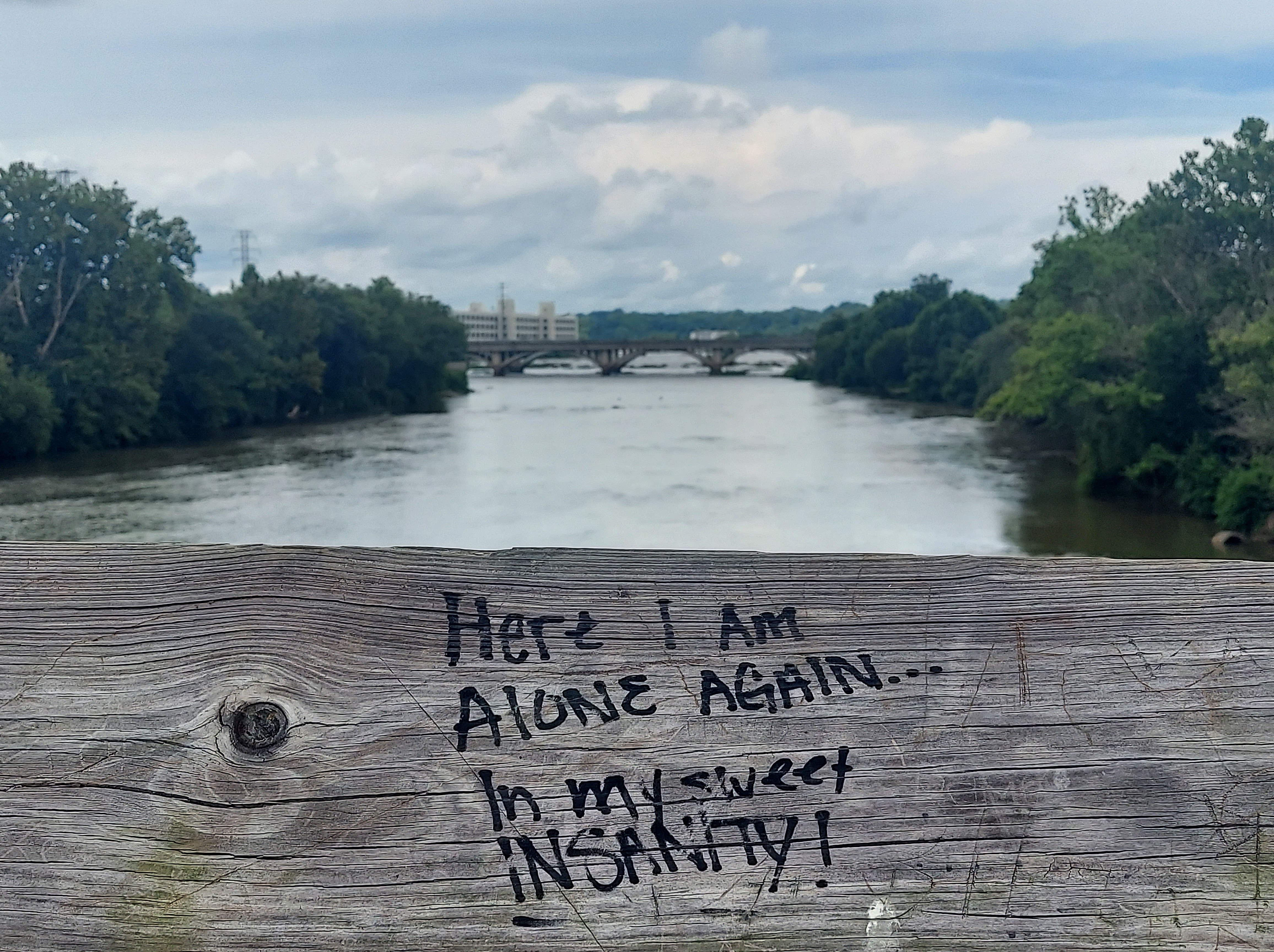
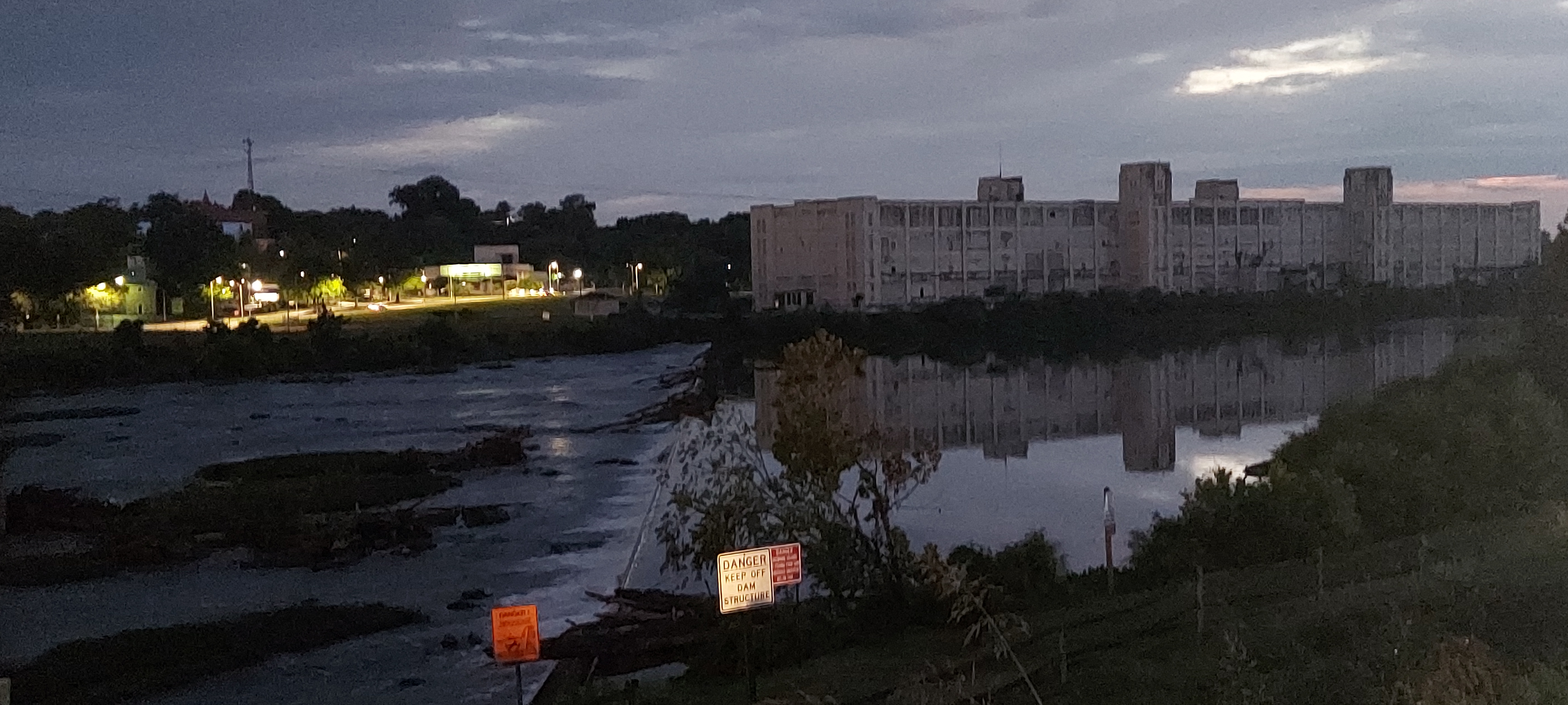
The river gave to Danville and Eden several productive textile mills beginning around the late 1800s, all of which have now closed. Danville’s “white mill,” seen in the above photos prominently overlooking the river, is being refurbished as part of a city park and multi-use project. There were plans for Spray Cotton Mill in Eden, but those dissipated when the main building burned in 2023 (see video below).
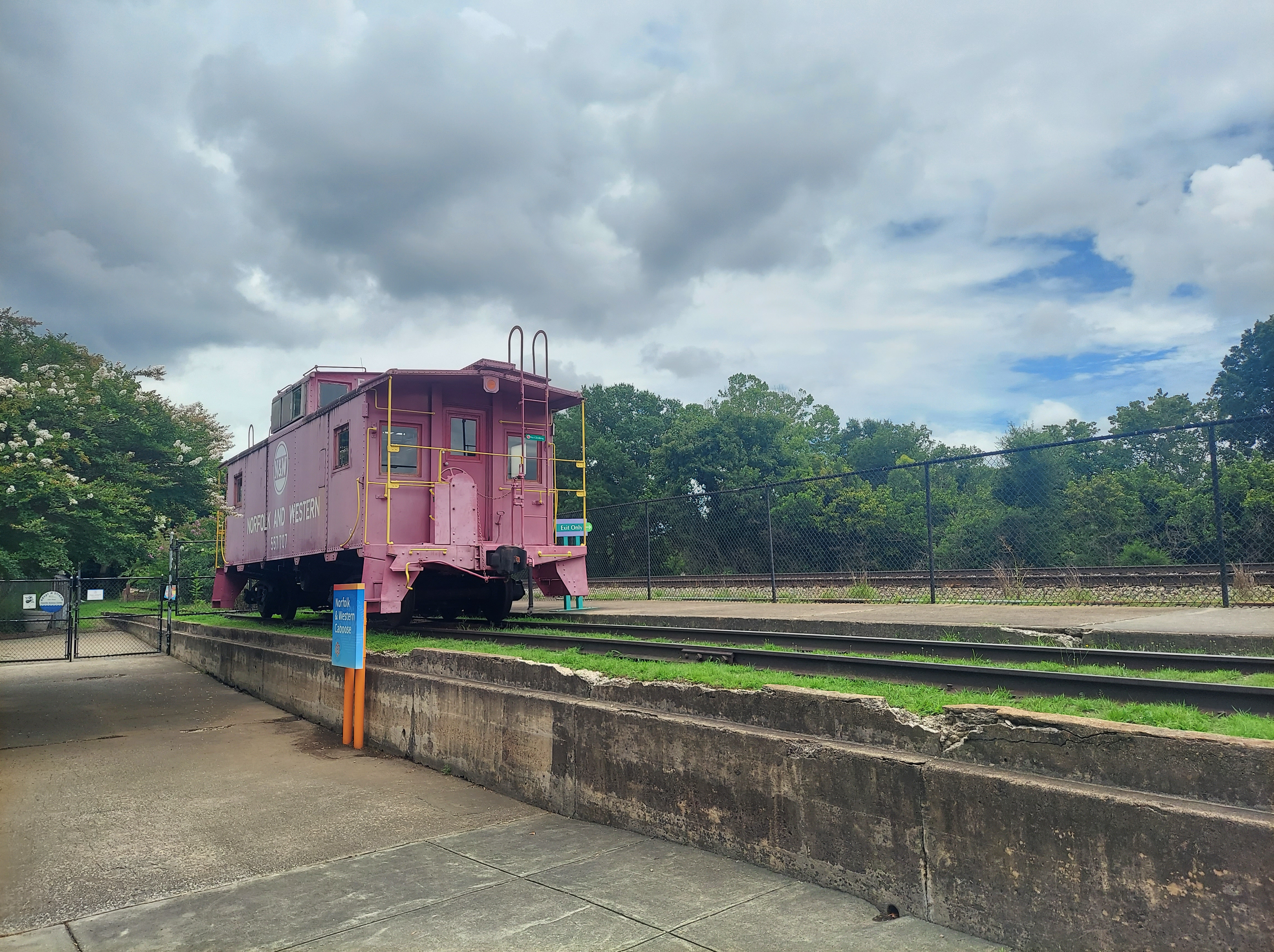
Danville’s seen hard times, too, with the tobacco and textile industry in decline the city suffered. Now, its old tobacco warehouses are being transformed in the River District, which also contains the market and depot. As a historic railroad hub, Danville has been connected with Richmond, Lynchburg, and Greensboro since the mid-1800s. The city still has an active Amtrak station. The Southern Railway “wreck of the Old 97” is a significant part of Danville’s rail folklore.


While the Southern Railway “Old 97” train derailed off the trestle as a result of human error, the local topography also played a part. The “steep grade” the train descended too quickly is part of the northern edge of the Dan River basin. The Dan River actually bends sharply southeastward at the ravine where the train landed, and the White Mill sits nearly across it on the south bank. This is probably an example of a “cut bank,” where the bank is notably steeper on the side the waterway bends away from, and also a sign of harder bedrock. (Unfortunately, this spot is not easily accessible now!)
A branch of another rail line running west from Danville, through the basin, was built to serve the Eden towns of Leaksville, Spray and Draper. Freight and passengers traveled from the mills/factories in each town to Danville and beyond during the early and mid-1900s. Currently, no passenger service is available; a train probably carries solite from the quarries on the remaining rails. This article shows and discusses in detail the history of the textile mills, other heavy industry, and the network of connecting railroads in the Land of Eden. Note that at the time of writing, the Spray Cotton Mill building was still standing.
“No work for the working man
-Rhiannon Giddens and the Carolina Chocolate Drops, “Leaving Eden,” 2012
Just one more empty mill/
Hard times in Rockingham, hard times harder still…/
…our father’s land of Eden is paradise no more”
PIEDMONT BLUES
Because of its history tied to industry and agriculture, but also its location situated between the Appalachian hill-country and the outer Piedmont, the Dan River Basin has cultivated a musical tradition that blends and connects the regions around it. Charlie Poole, who lived in Spray (Eden), played “Piedmont picking” old-time music in the 1920s with his band the North Carolina Ramblers. The Carolina Chocolate Drops, from Durham/Greensboro, NC, incorporated these traditions in their recordings. Blind Boy Fuller, from Wadesboro, NC (in another Triassic basin), played music on the street in Danville in the 1930s. One of his songs was called “Get Yer Yas Yas Out” which inspired the Rolling Stones to name their 1970 live album.
Danville had a punk/indie music scene in the 1990s, also, remembered in this 2024 article from Richmond’s Style Weekly publication.
This is the tourism site for Rockingham County, North Carolina, including Eden and along the Dan River.
visitroconc.com
Here is the site for Danville and Pittsylvania County.
www.visitsosi.com
Heading on US-311 between Eden and Danville, along the heart of the Basin, I pass a vacant, unnamed factory; then the LuckStone quarry, then a railroad crossing and a sign for Leaksville Junction. Like the Dan River, I cross the Virginia-NC line several times. Like the triassic Tanytrachelos, i glide around.
Danville draws me and now I understand more why. I’m glad I experienced Eden.
Shale metamorphs to Slate as I roll along 58. The Porous Chorus begins to sing. That Solite is a gossip; it tells EVERYTHING.
(This has been Part 2 of my Piedmont Geology series. Look out for Part 3!)

2 thoughts on “Dan River Rift Basin: Piedmont Geology and Culture”