Dates of travel: August 2019, June 2020, July 2022
JULY 2022, GREAT DISMAL SWAMP
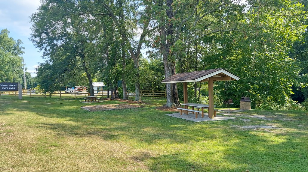
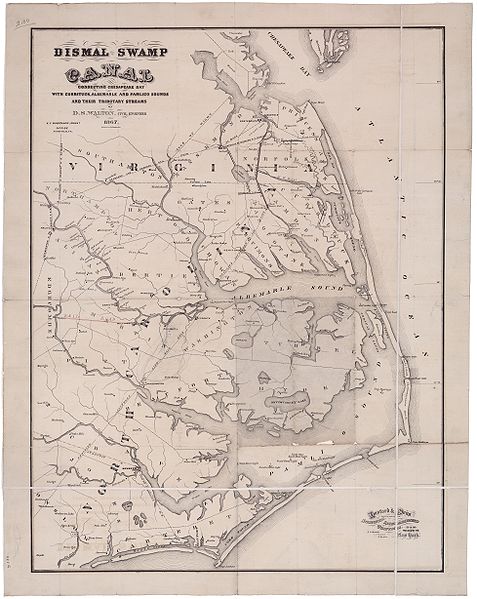
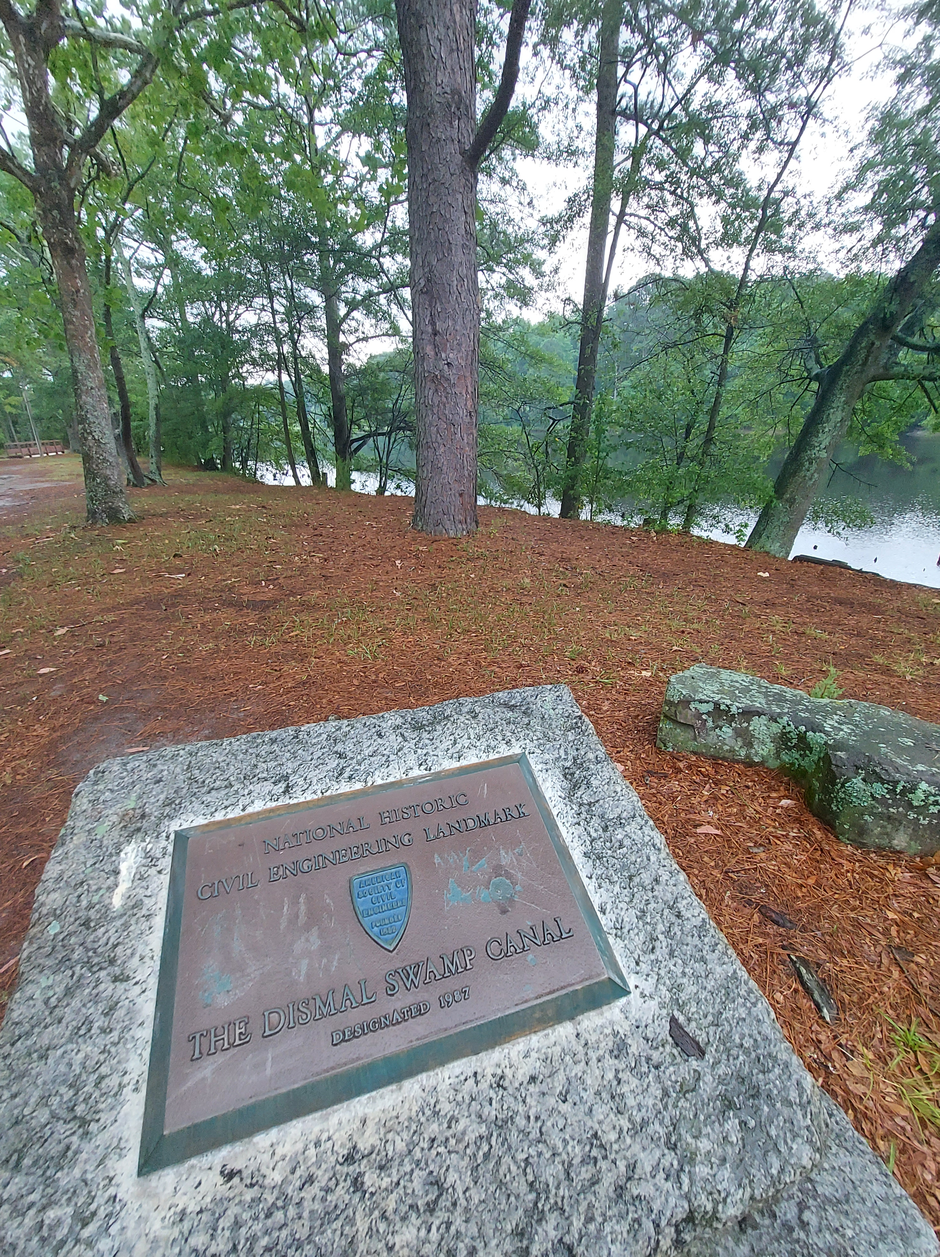
Yellow flies surround me as I walk through thick, humid air and sunlight, to a picnic table to write notes on the way to a gig in Elizabeth City. I’m near the North Carolina-Virginia line. Beside me is the yellow silt-tinged dark Dismal Swamp canal, a 22-mile waterway hand-dug mostly by enslaved laborers over 200 years ago through the Great Dismal Swamp, connecting the Chesapeake bay to the north and the estuaries to the south.
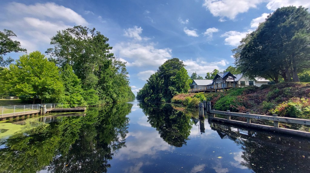
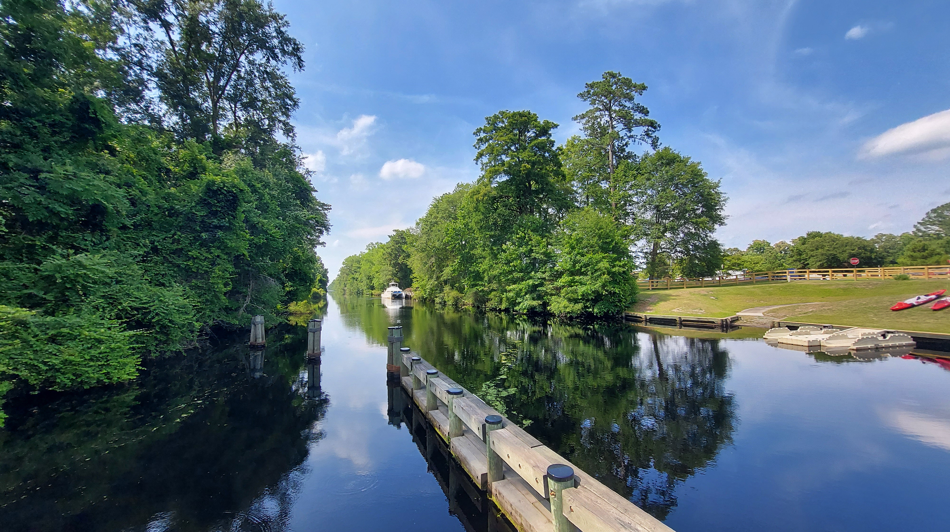
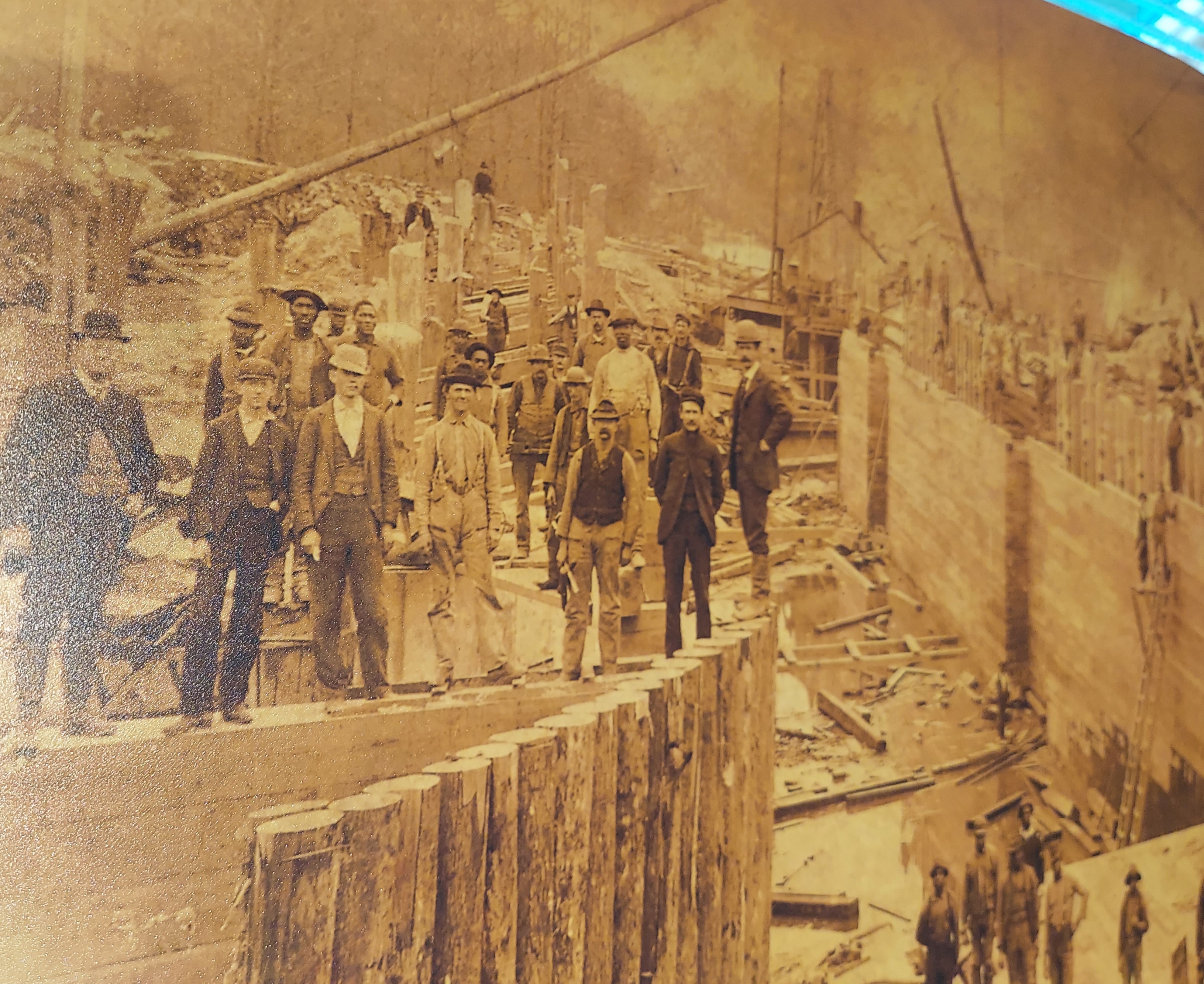
Completed in 1805, the newly built Canal was highly trafficked by ships carrying “logs, shingles, and other wood products taken from the swamp’s great stands of cedar and juniper.” These days, it’s used mostly for pleasure boats who want an adventure on their path along the Atlantic Intracoastal waterway, usually in spring or fall.
As a current resident of Hampton Roads who grew up in North Carolina, the Dismal swamp and canal I find intriguing. Partly it’s because of the “dismal” title and my love for geography and nature; this area from the outside appears wild, undevelopable, distant and inhospitable. It’s associated with biting insects, snakes, stagnant water, and muddy woods, disassociated with the coast, easy to get lost. Well, it was Colonel William Byrd who gave this swamp its name, as he was leading a group of men to survey the Virginia-Carolina colonial border line, beginning in 1728.
Doubtless, the eternal shade that broods over this mighty bog, and hinders the sunbeams from blessing the ground, makes it an uncomfortable habitation for any thing that has life.
Col. William Byrd, 1728
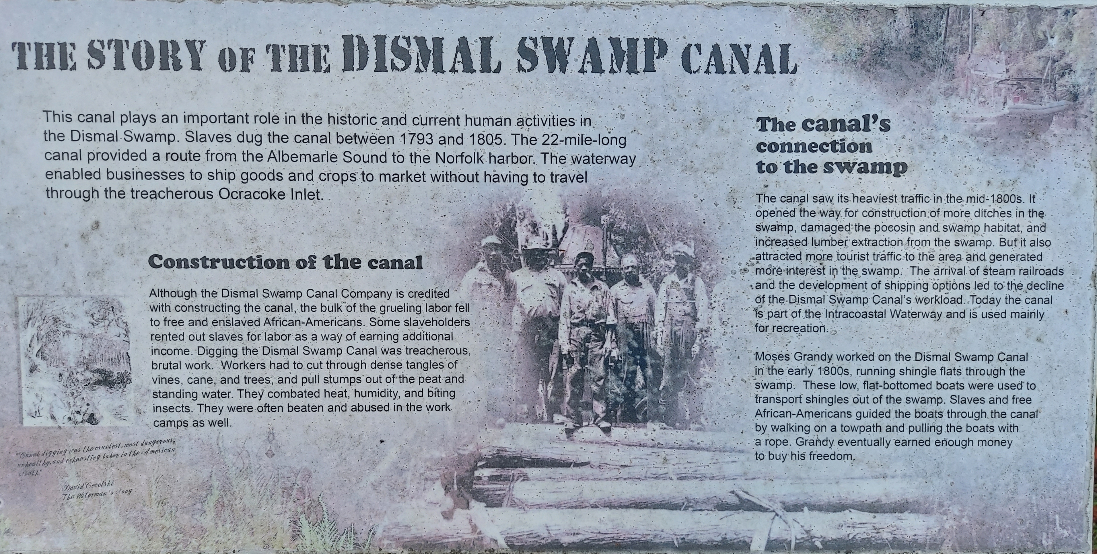
“Canal digging was the cruelest, most dangerous, unhealthy and exhausting labor in the American South.”
David Cecelski, The Waterman’s Song, 2001
https://dismalswampwelcomecenter.com/history/
“..the public treasure could not be better bestowed, than…render so great a tract of swamp very profitable, besides the advantage of making a channel to transport by water carriage goods from Albemarle Sound into Nansemond and Elizabeth rivers, in Virginia.”
Col. William Byrd, 1728, Containing the History of the Dividing Line Betwixt Virginia and North Carolina
1763
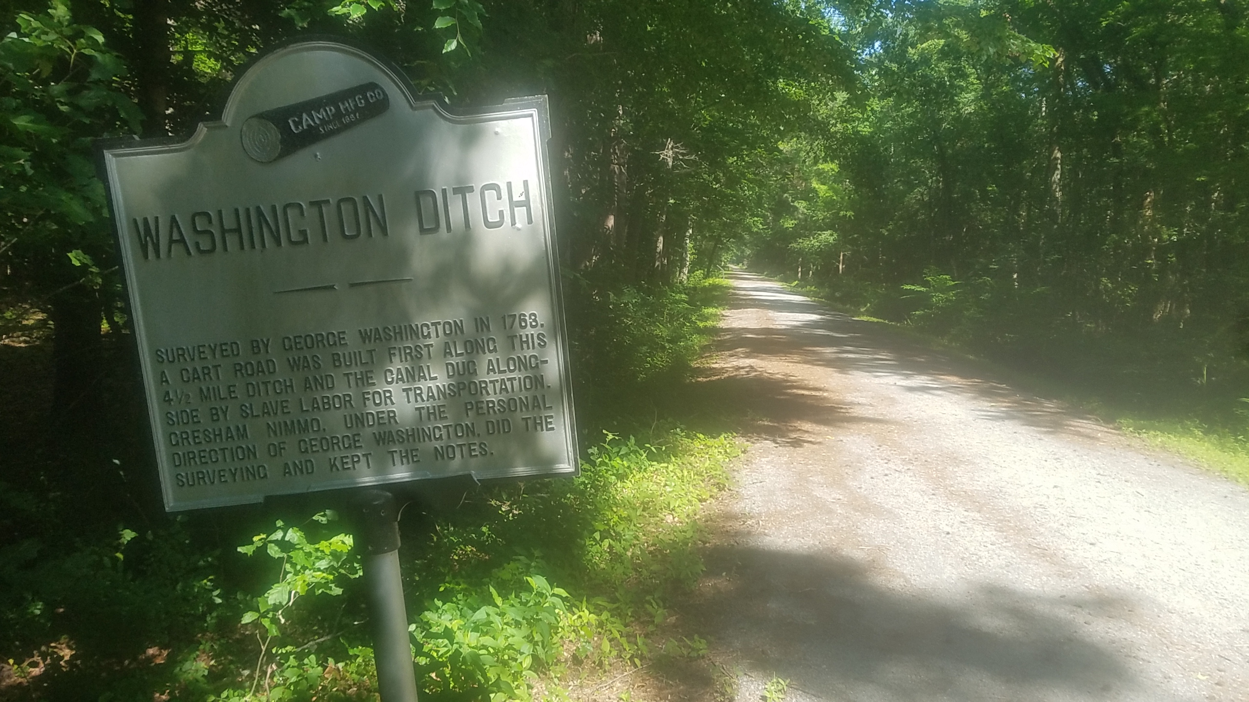
George Washington surveyed the swamp and thought that it should be drained for agriculture and the trees harvested. With the Dismal Swamp Land Company, he purchased a section of land to the west of the lake for logging and had the “Washington Ditch” cut to transport the wood. Eventually, the agriculture projects would be abandoned, and George’s attention was directed toward construction of the canal.
The swamp was a haven for African Americans in the later 1700s and 1800s who would settle here after escaping the brutal life of plantation slavery. Many survived in the deep woods white folks avoided and formed “maroon” communities of 15-30 people. Some of these folks worked on the canal, and were familiar with the land. The plantation owners would often not try to find them if it was likely they went to the swamp.
I remember well my mother often hid us all in the woods, to prevent master selling us. When we wanted water, she sought for it in any hole or puddle formed by falling trees or otherwise: it was often full of tadpoles and insects: she strained it, and gave it round to each of us in the hollow of her hand.
Moses Grandy, Narrative of the Life of Moses Grandy; Late a Slave in the United States of America (1843)
Moses Grandy worked digging the canal as a youth. His skills led him to get better work running cargo ships transporting merchandise to Norfolk from the southern parts of the North Carolina, where he grew up. The Canal was new and busy and an important route for commerce at this time. In 1813, Moses, still enslaved at age 21, was offered work as a freight boat Captain and eventually made enough money to purchase his freedom. His autobiography, published in 1843, is definitive literature from the era and of local Black history and his descendent in Hampton Roads is working to preserve this legacy. Watch this video for more.
There is also a folk ballad about Moses Grandy:
JUNE 2020, WASHINGTON DITCH and LAKE DRUMMOND
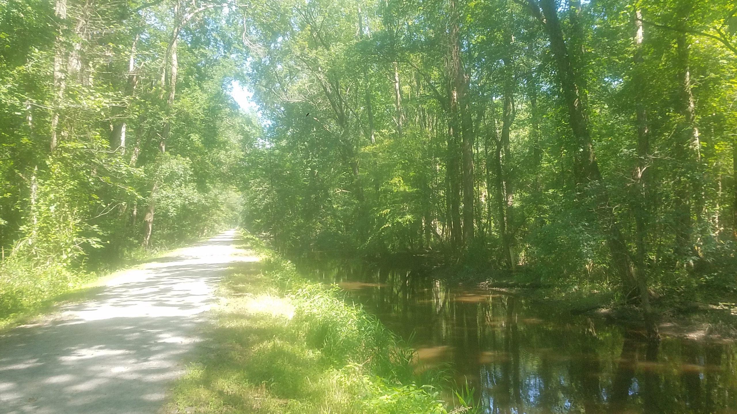
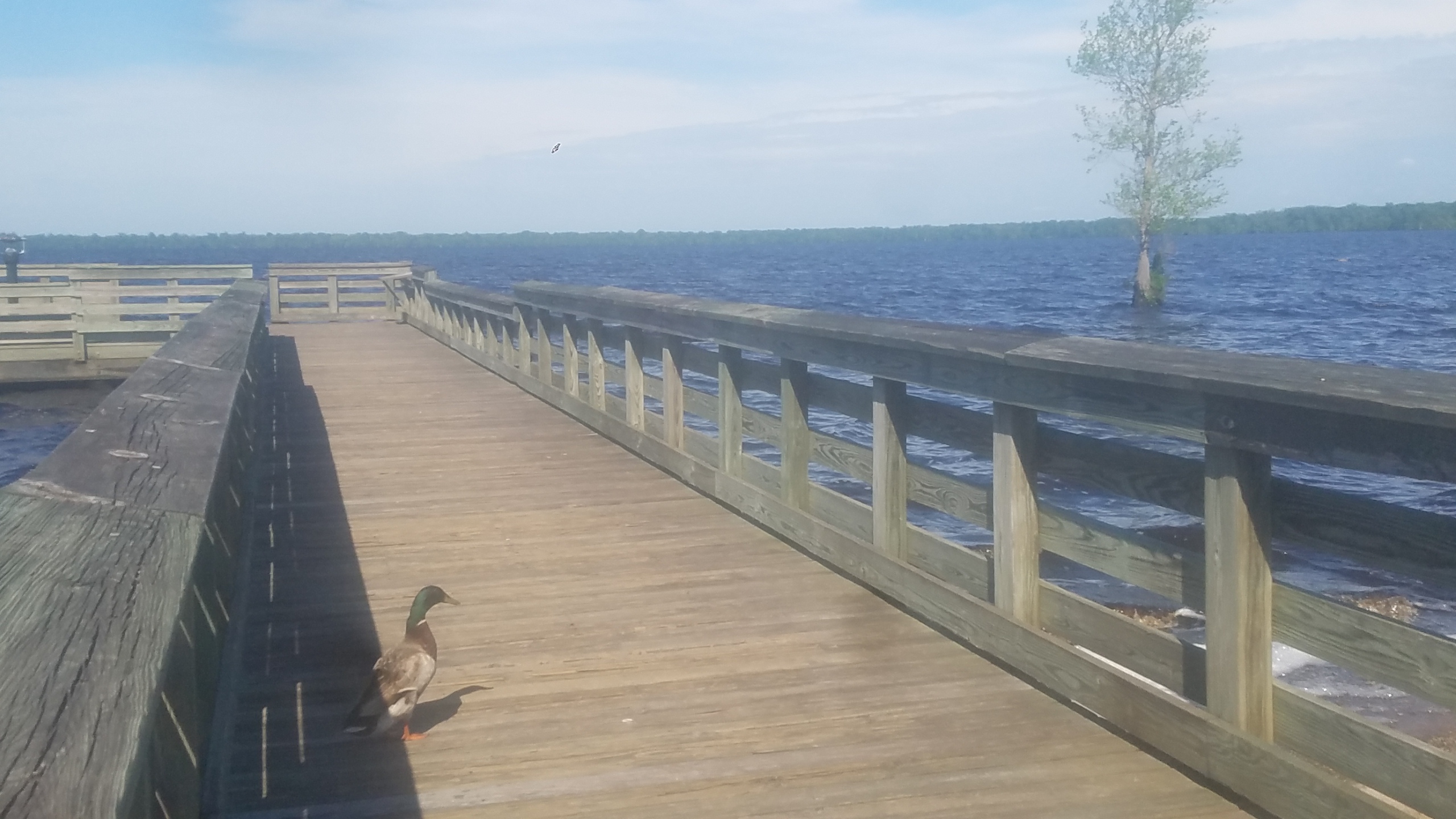
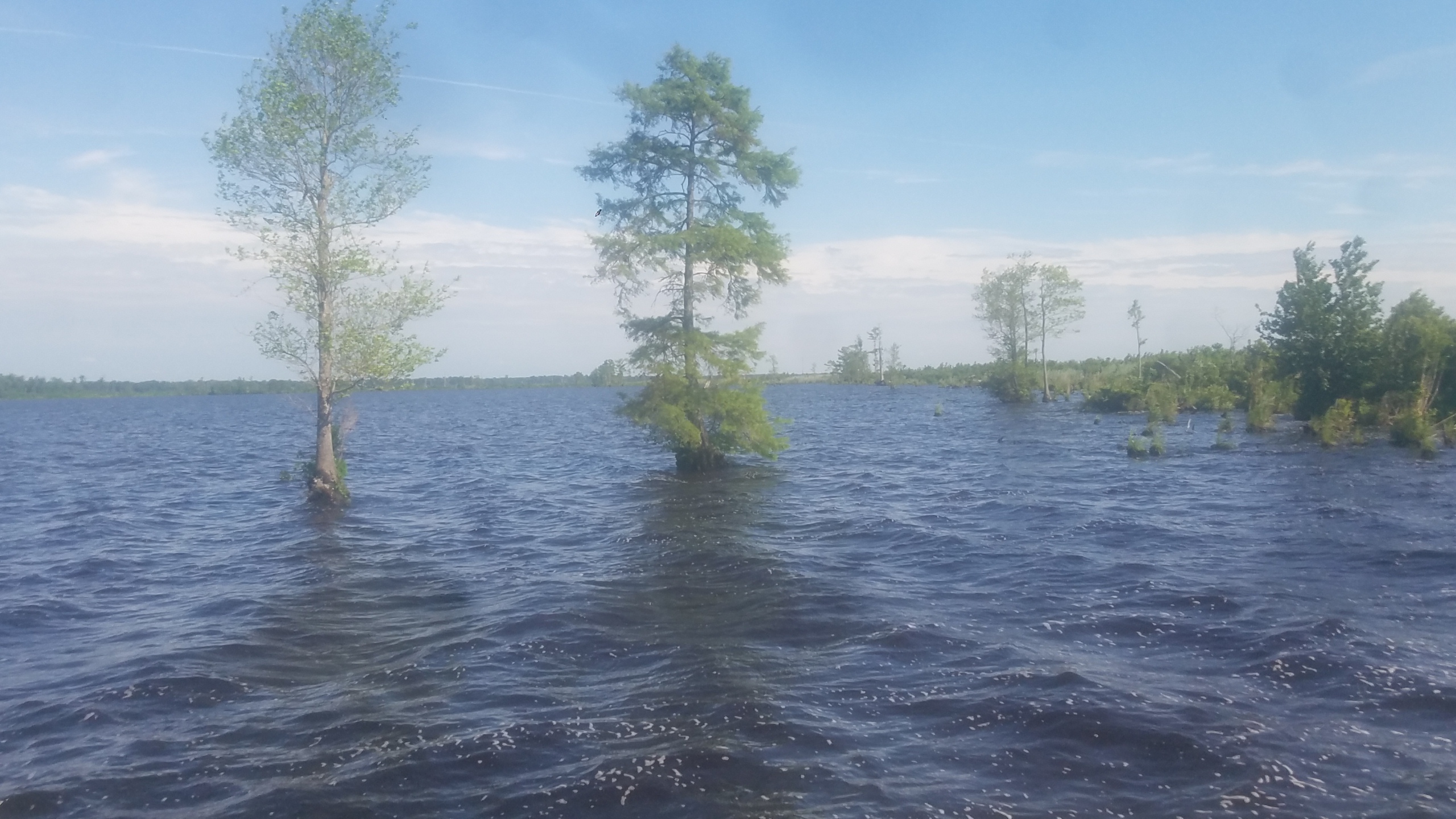
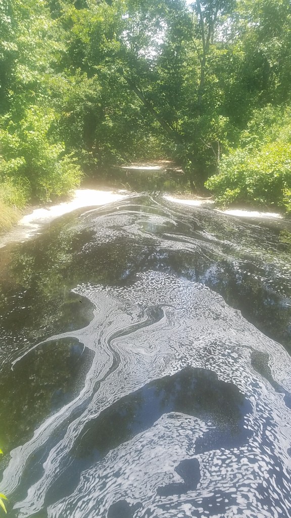
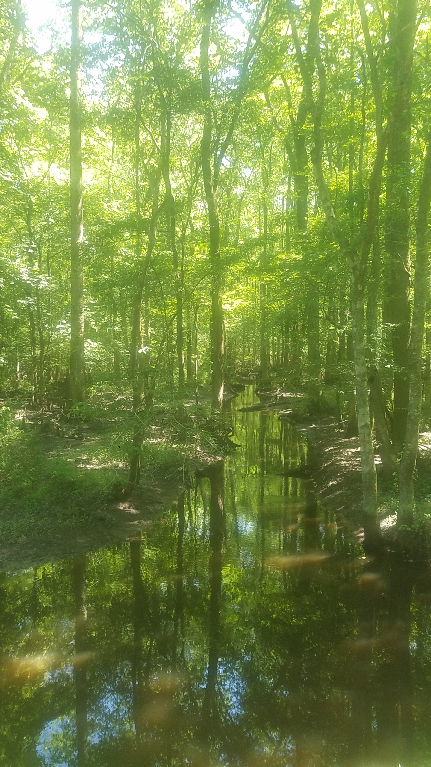
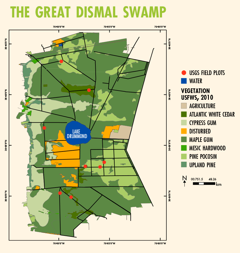
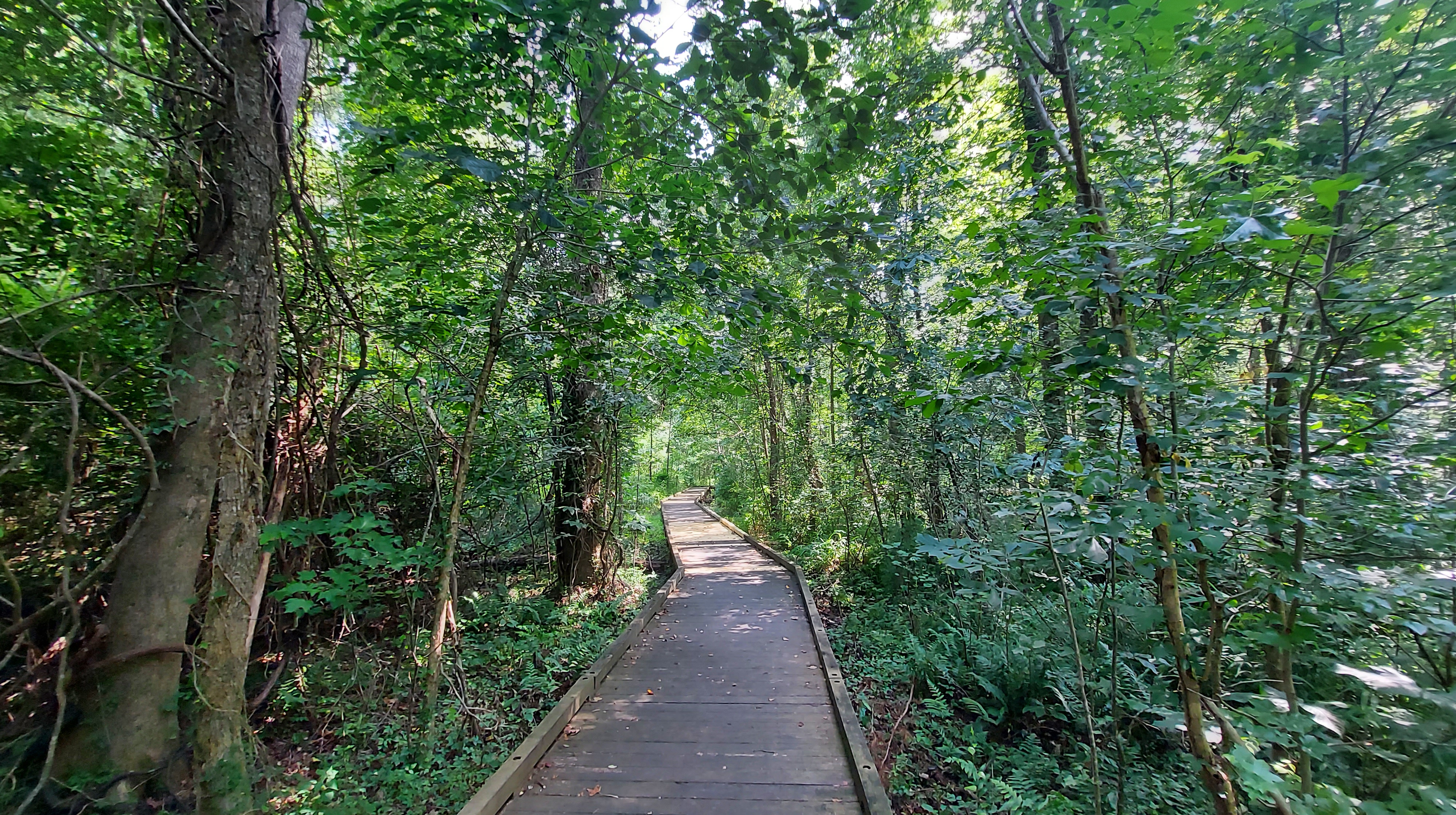
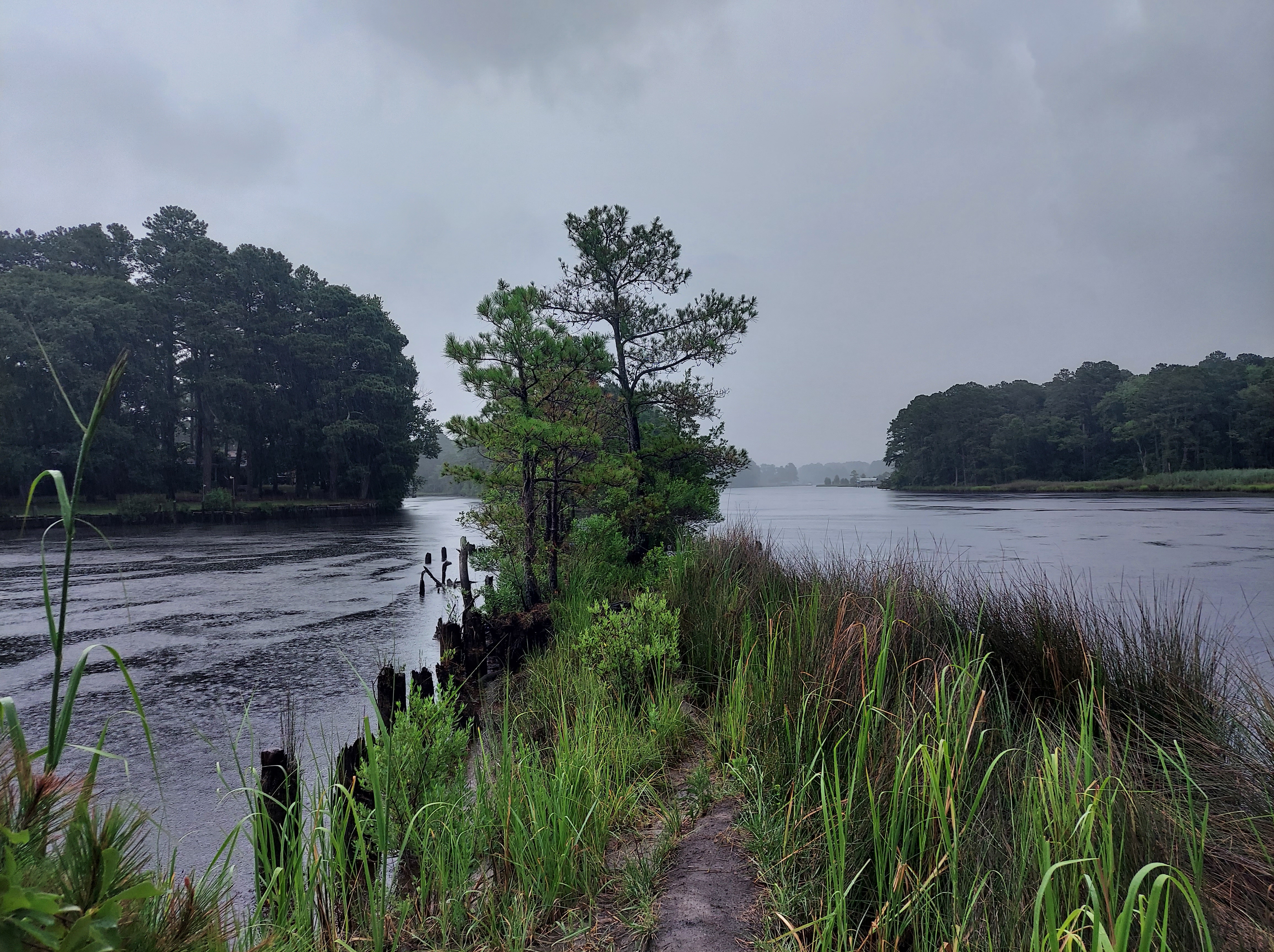
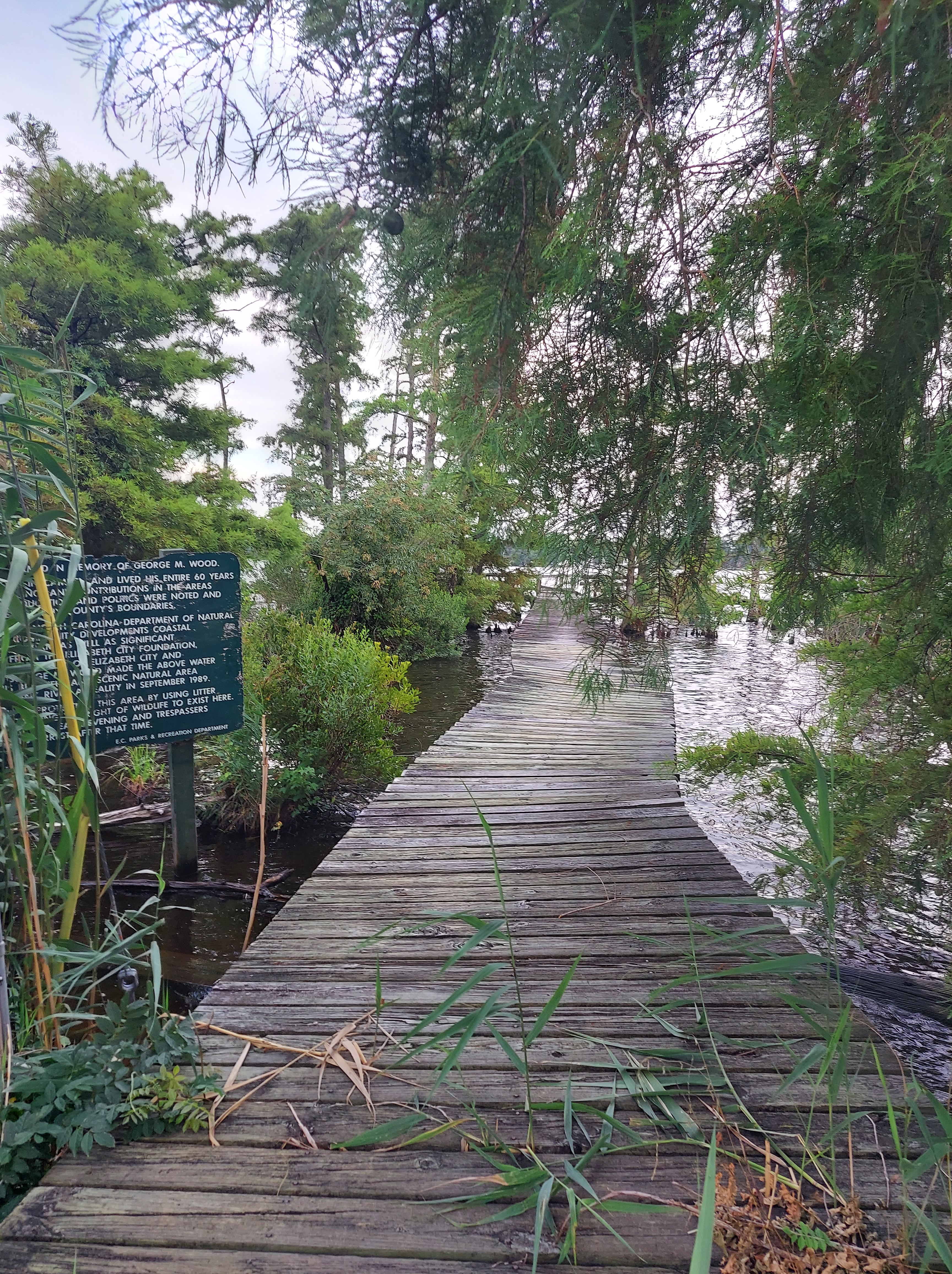
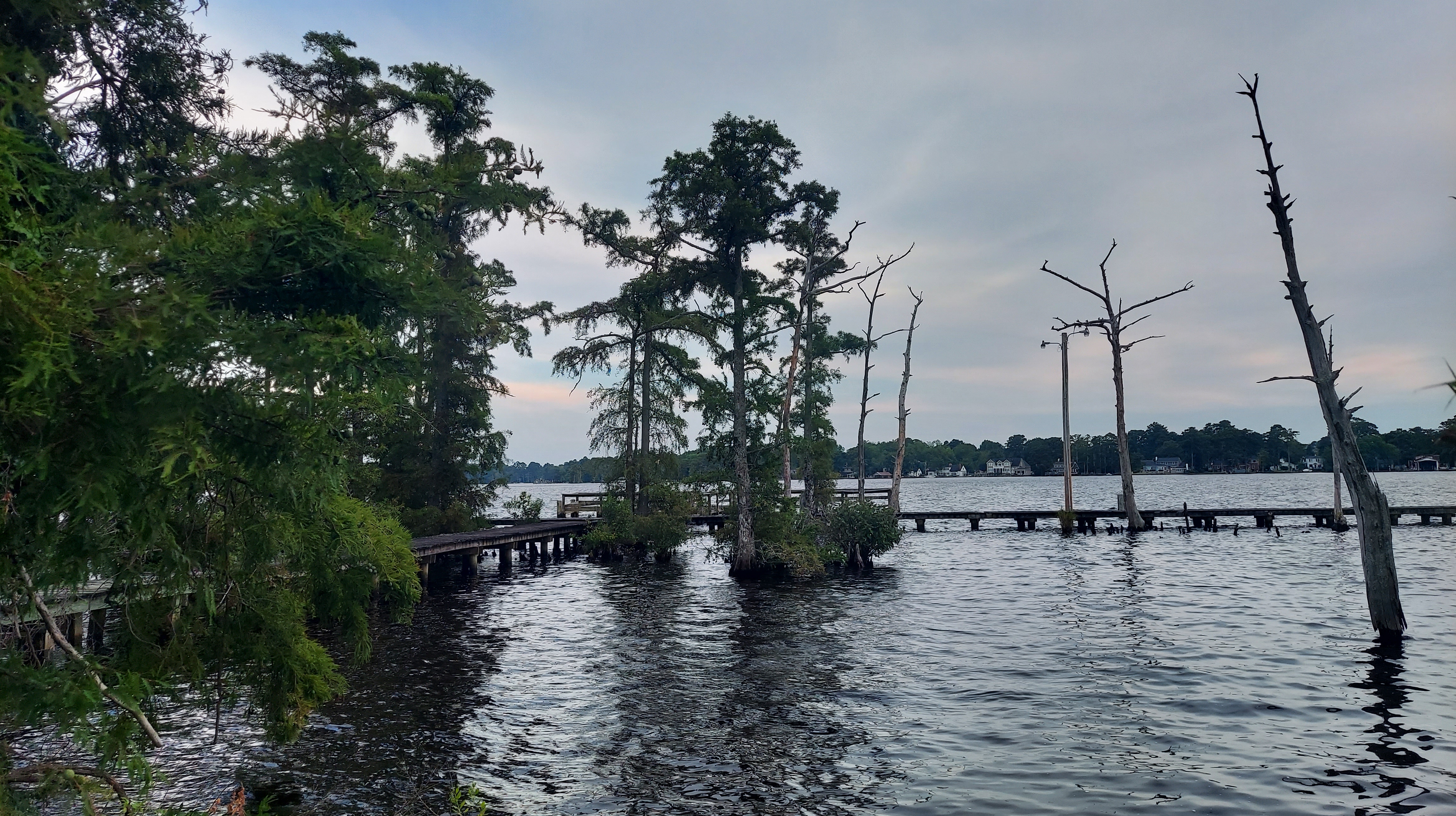
The Canal runs along an east-central section of the current Swamp, connecting to a network of ditches radiating out of the center, the shallow oval Lake Drummond. The Lake is natural, also the highest altitude of the Swamp, so water flows out of it and toward the estuaries on the outside. Outflow is limited though and peat (partially decomposed plant material) from cedar, cypress, and other trees fills the lake, creating tannic acid restricting life for fish and ticks and other insects, and in effect making this part more inhabitable for humans ( this was known to the maroon communities). The ways to access the Lake since the Canal was constructed are by boat, by foot along the Washington Ditch trail (old road), and by car from the west, near Suffolk, along a winding dirt road following the Railroad Ditch (named for the Underground Railroad) and then Interior Ditch. I took the winding dirt road in 2020 and when I reached the Lake, I felt like I had completed a quest. It was nearly complete solitude and peace – just one duck, the lapping waves, and I.
This dark Ambient music piece “Drummond” is by a band called Great Dismal Swamp, from Norfolk.
Many of the ditches, which were dug for agriculture, are no longer accessible by car. The ditches I visited all had water and were each different in character, and probably also in chemical composition. Ditch names include:
- Feeder Ditch (Lake to Canal)
- Big Entry Ditch (NE of Lake)
- Portsmouth Ditch (N of Lake)
- Corapeake Ditch (E-W along the NC/VA line)
- Kim Saunders Ditch (runs E-W)
- Insurance Ditch (runs diagonal)
- Weyerhauser Ditch
- County Line Ditch (following the headwaters of Pasqotank River)
- Paw Paw Ditch
- Rosemary Ditch
In 2020, the hidden wetlands I found provided immediate calm from the fears of the COVID pandemic’s early waves. Butterflies, dragonflies and wasps flew around me, while owls screeched from the treetops. Deer skittered across the dirt road.
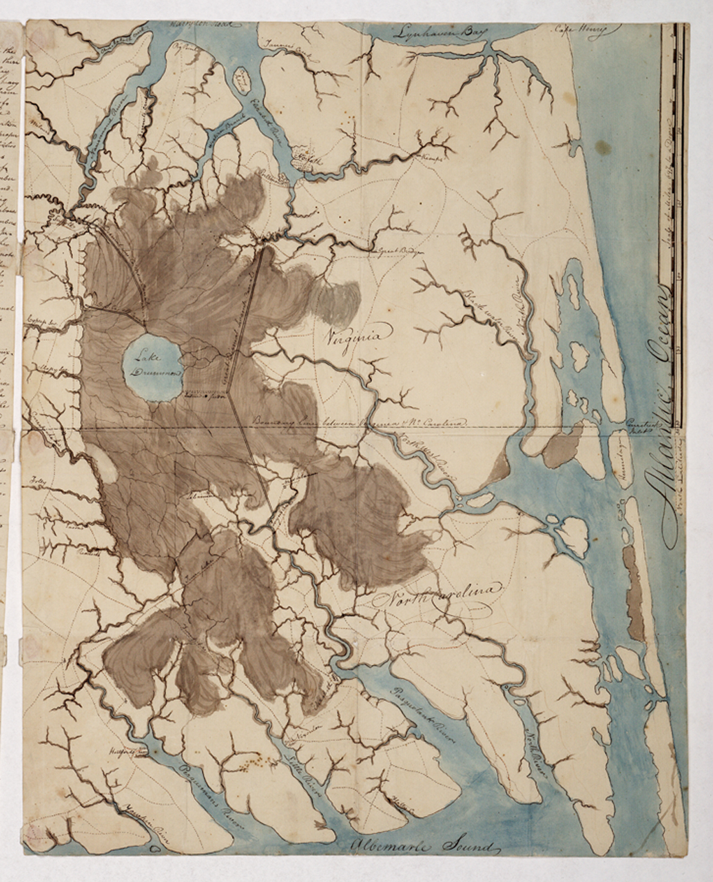
The historical swamp range is huge…from the northern bounds of Tsenacommocah and the tributaries of Powhatan and Chesapeake, well south into the Carolina estuaries that seperate the mainland from the barrier islands. On the west, a small escarpment marks the transition to higher plain near the lands of the Nottoway. Much of the swamp we may pass today has been reclaimed from industry and designated “Great Dismal Swamp National Wildlife Refuge.” Forests are second-growth and the ground is dry much of the year, pooling on the ground for 1-2 months in the winter and possibly in late summer also. The canal, ditches, and farms have, for better and worse, permanently altered the landscape.
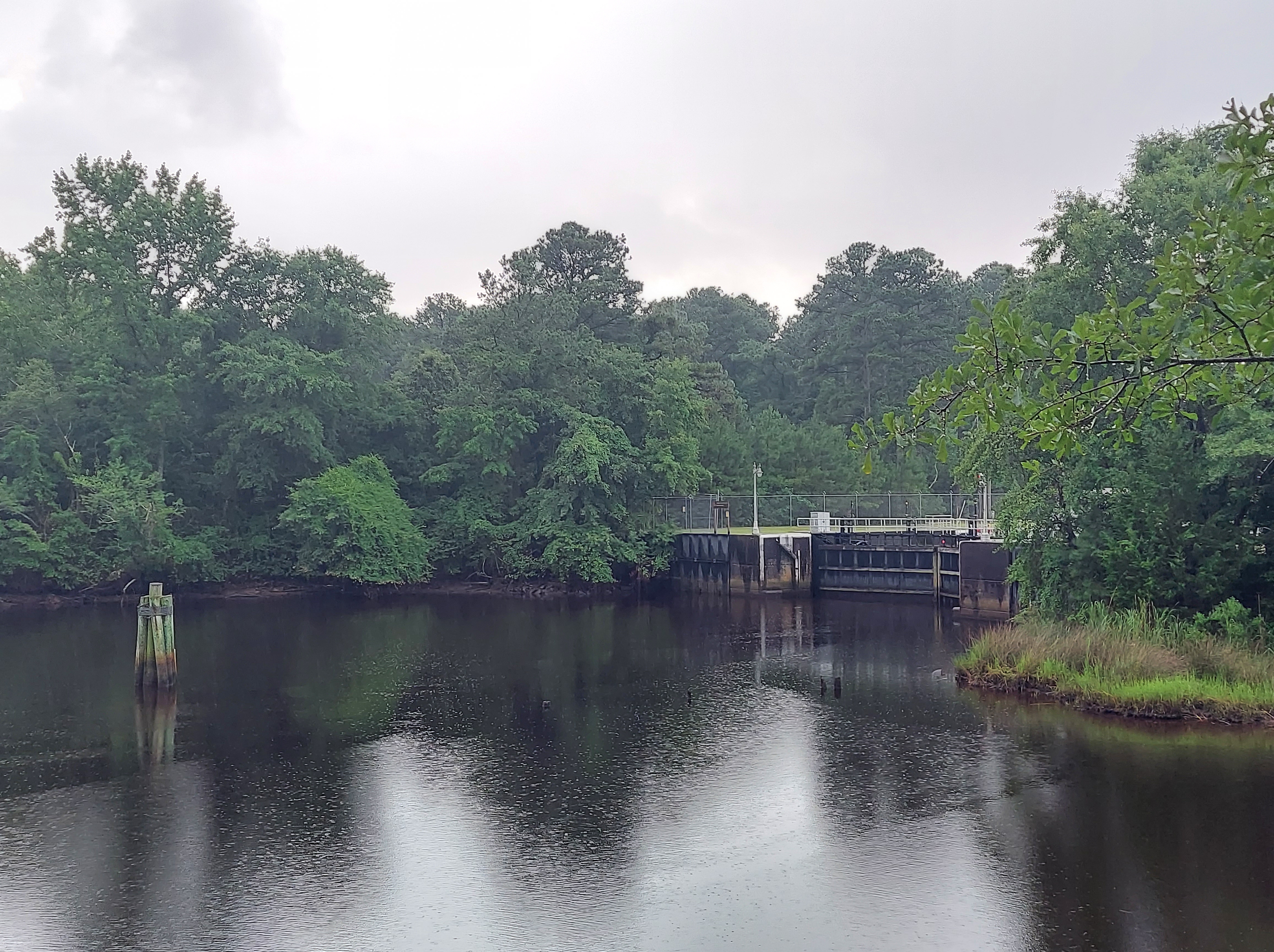
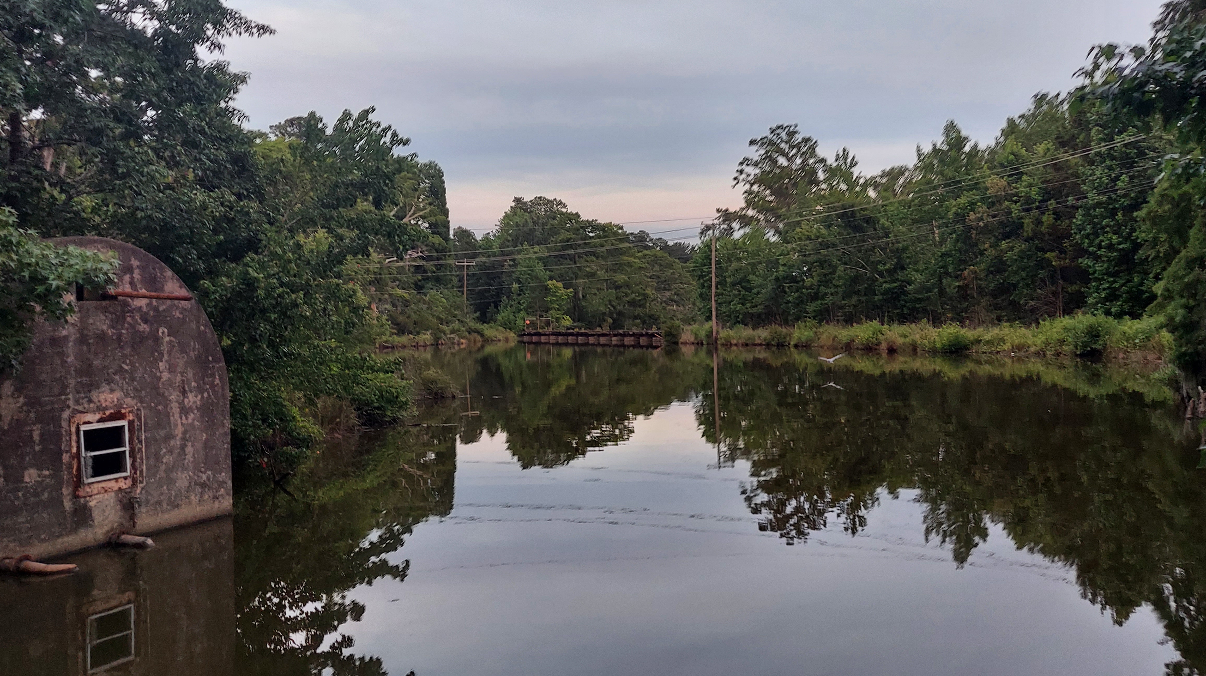
2022, DEEP CREEK LOCK, CHESAPEAKE, VA
At its north end, the Canal connects with Deep Creek which flows through a lock into Norfolk and Hampton Roads, by the historic community of Deep Creek. On this July afternoon, I stand alone at the lock and park surrounded by suburbs and passing traffic.
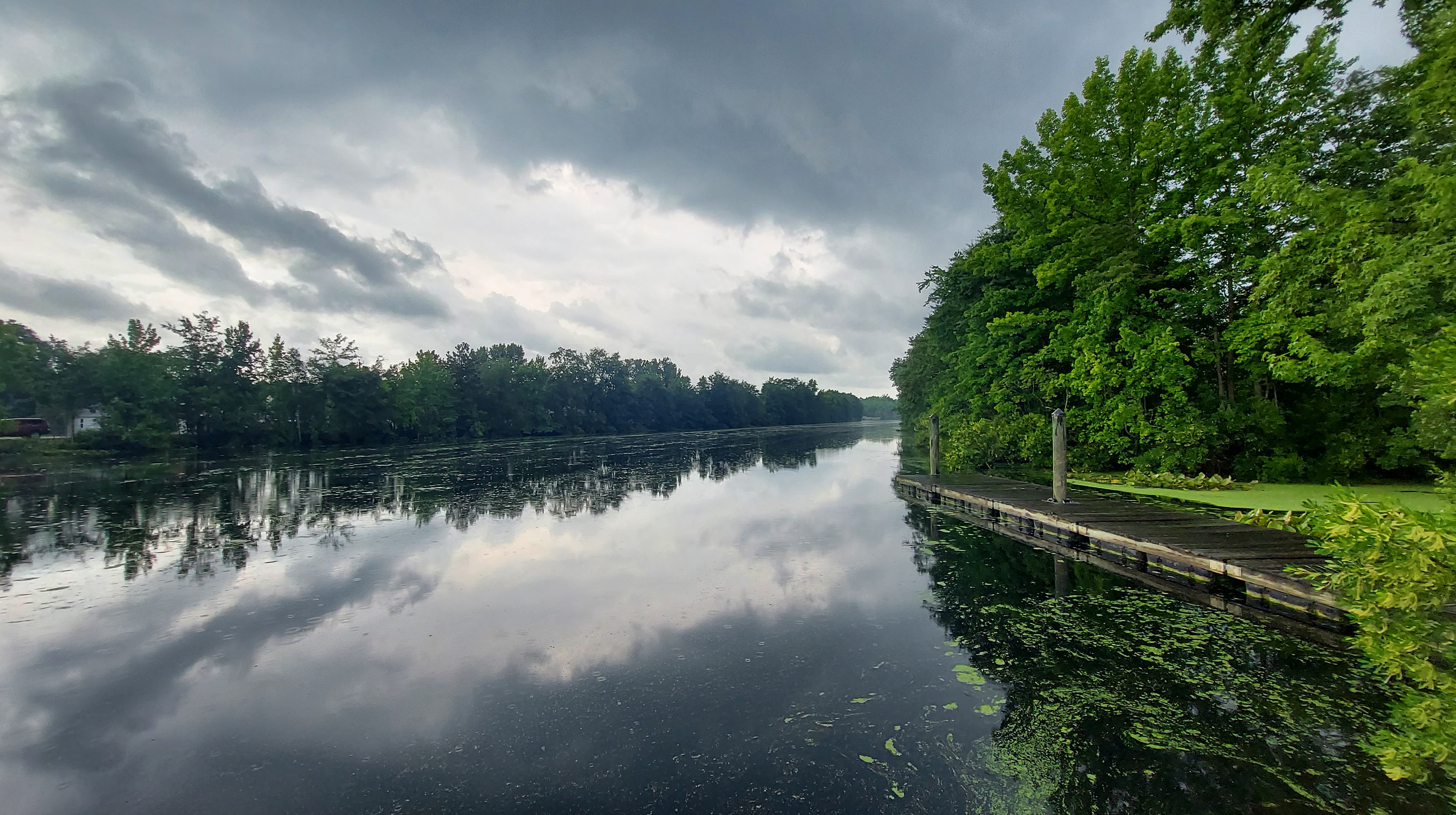
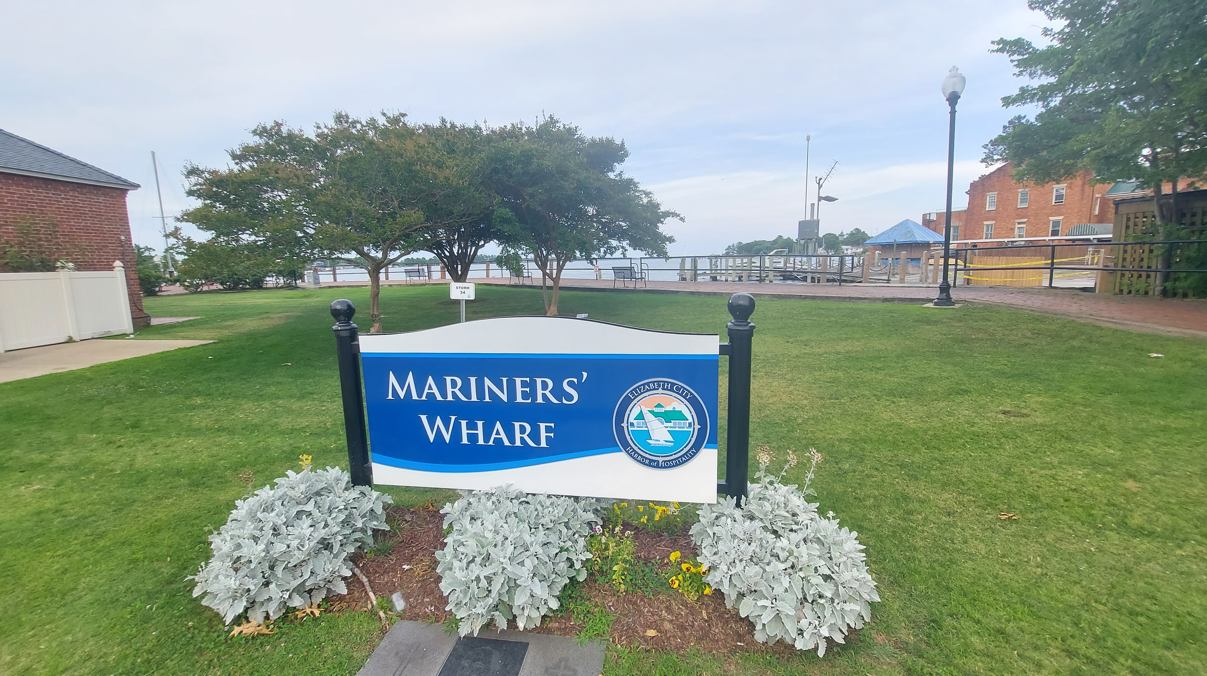
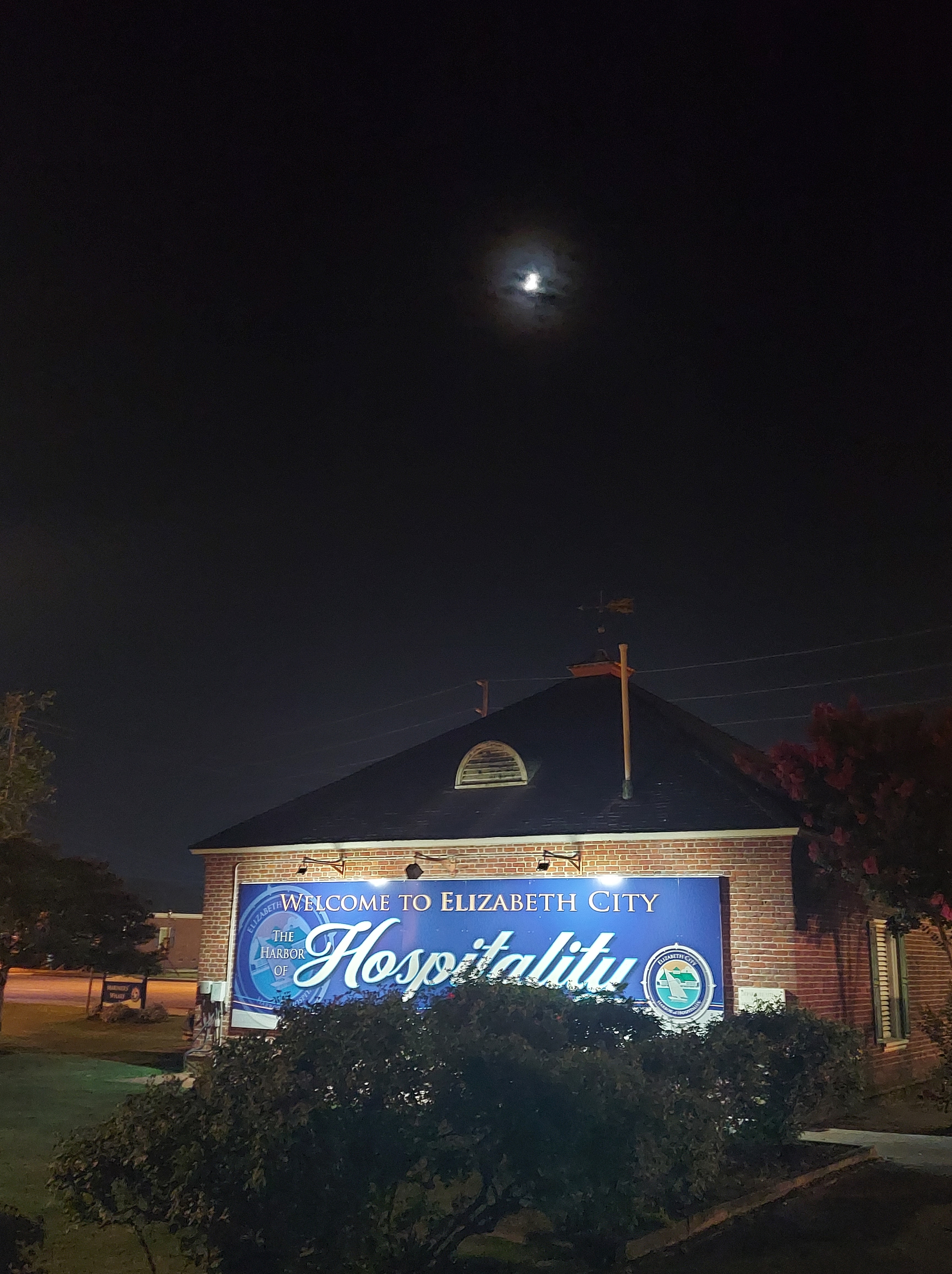
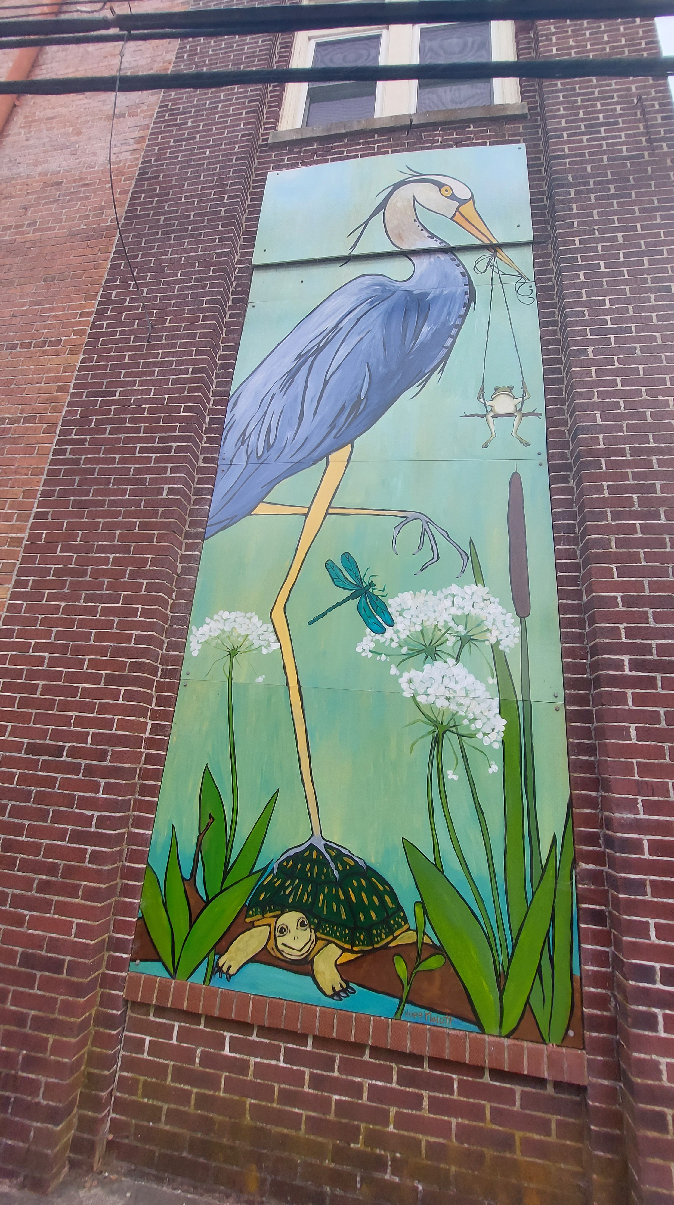
2022, ELIZABETH CITY, “HARBOR OF HOSPITALITY”
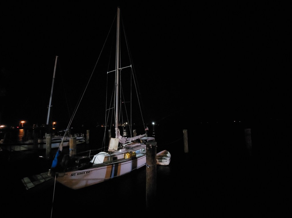
At the south end of the historical Swamp lies Elizabeth City, North Carolina and its quaint, historic waterfront on the Pasqotank River known as the “Harbor of Hospitality.” Signs at the Mariner’s Wharf mention 48 hour complimentary docking and the “Rose Buddies” who would clip local roses and offer them to first mates and other visitors by boat. There is a slight breeze from the river and the whole downtown feels ready to relax. A few tourists are out on foot, but only two boats are docked. Tonight, a movie screens on the green next to the wharf: Maleficent.
I reminisce about a visit here in 2010, when my mom and I were offered a ride by a random boatman who saw us on shore from his small craft. We declined his offer.
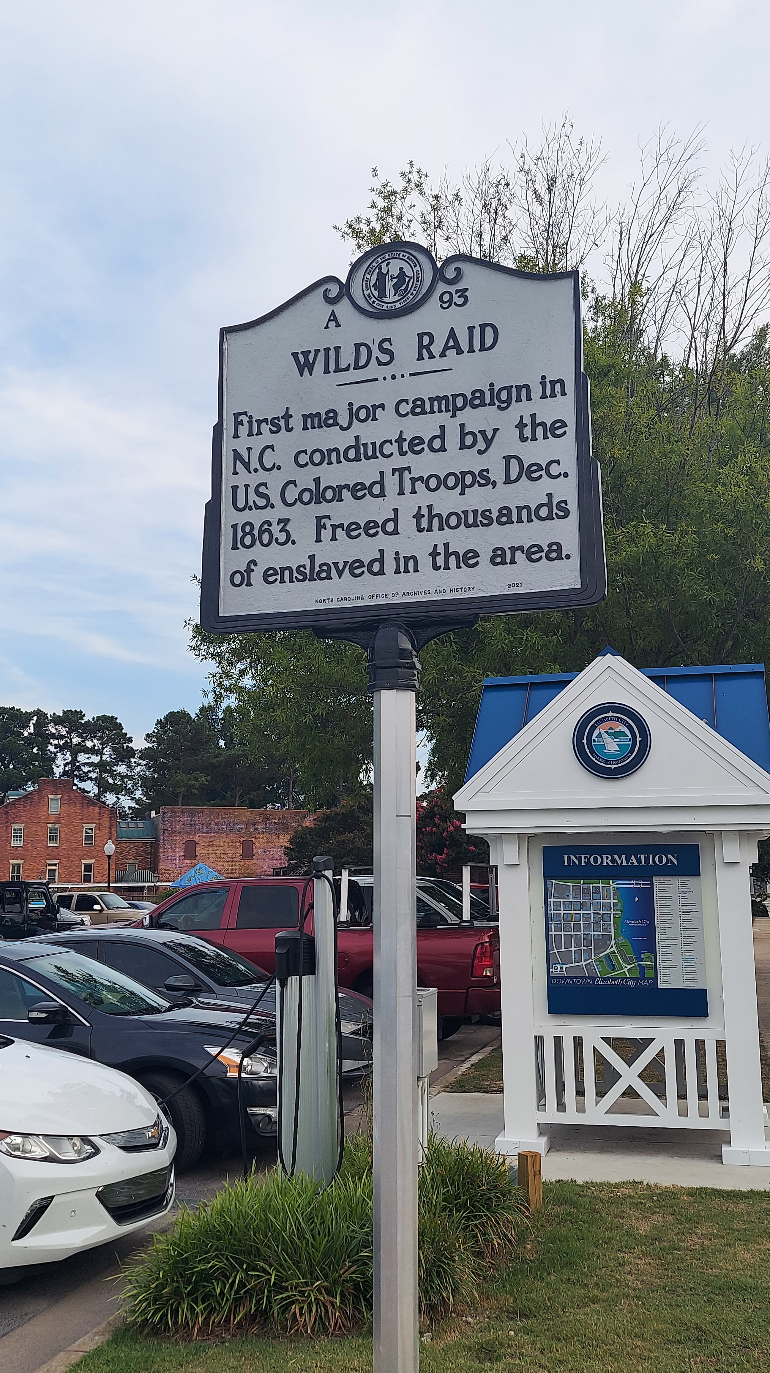
Also of note are these recent events in Elizabeth City (2021) which echo its Black history: https://www.google.com/amp/s/theconversation.com/amp/protesters-marching-in-elizabeth-city-n-c-over-andrew-browns-killing-are-walking-in-the-footsteps-of-centuries-of-fighters-for-black-rights-161563
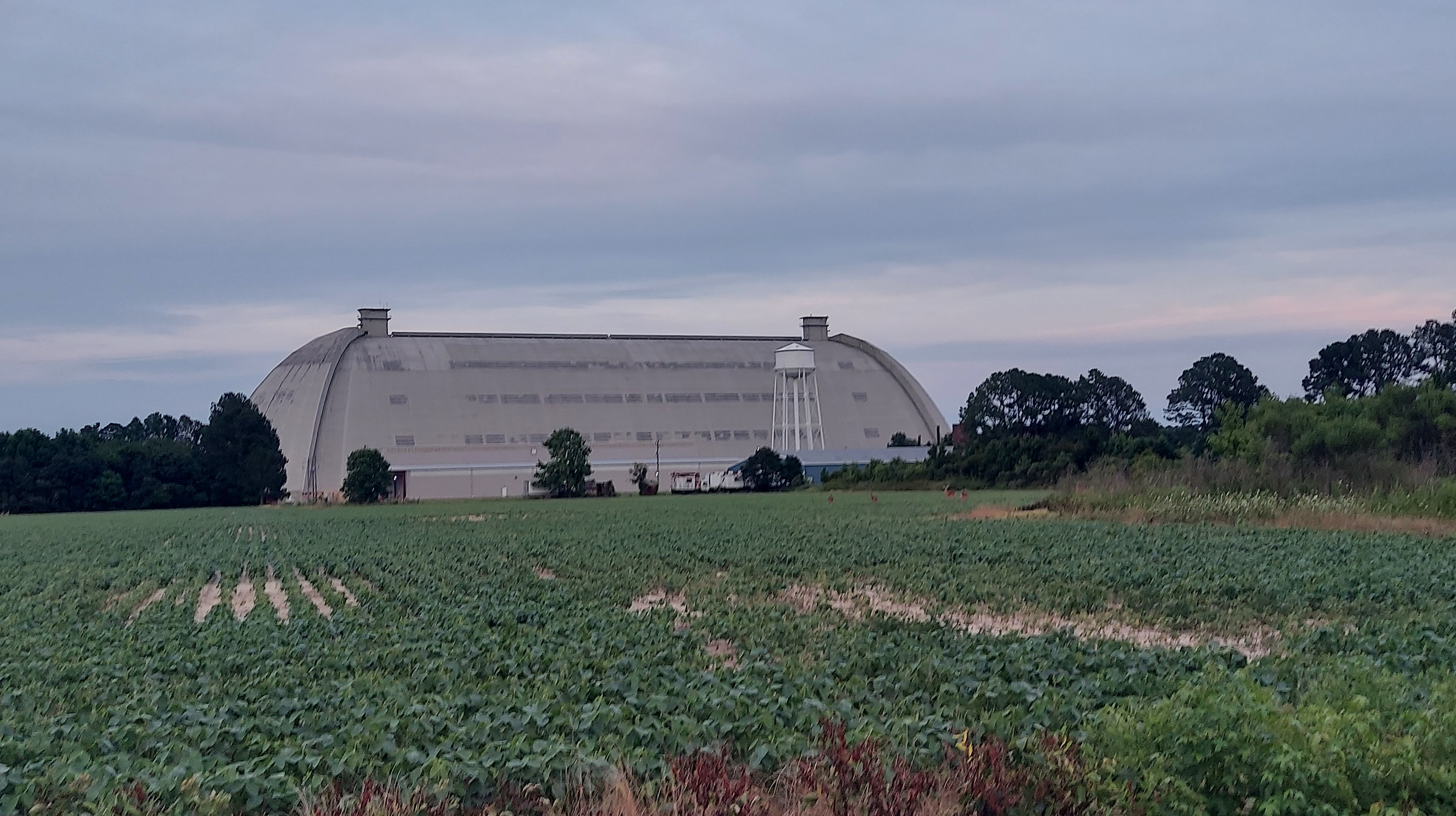
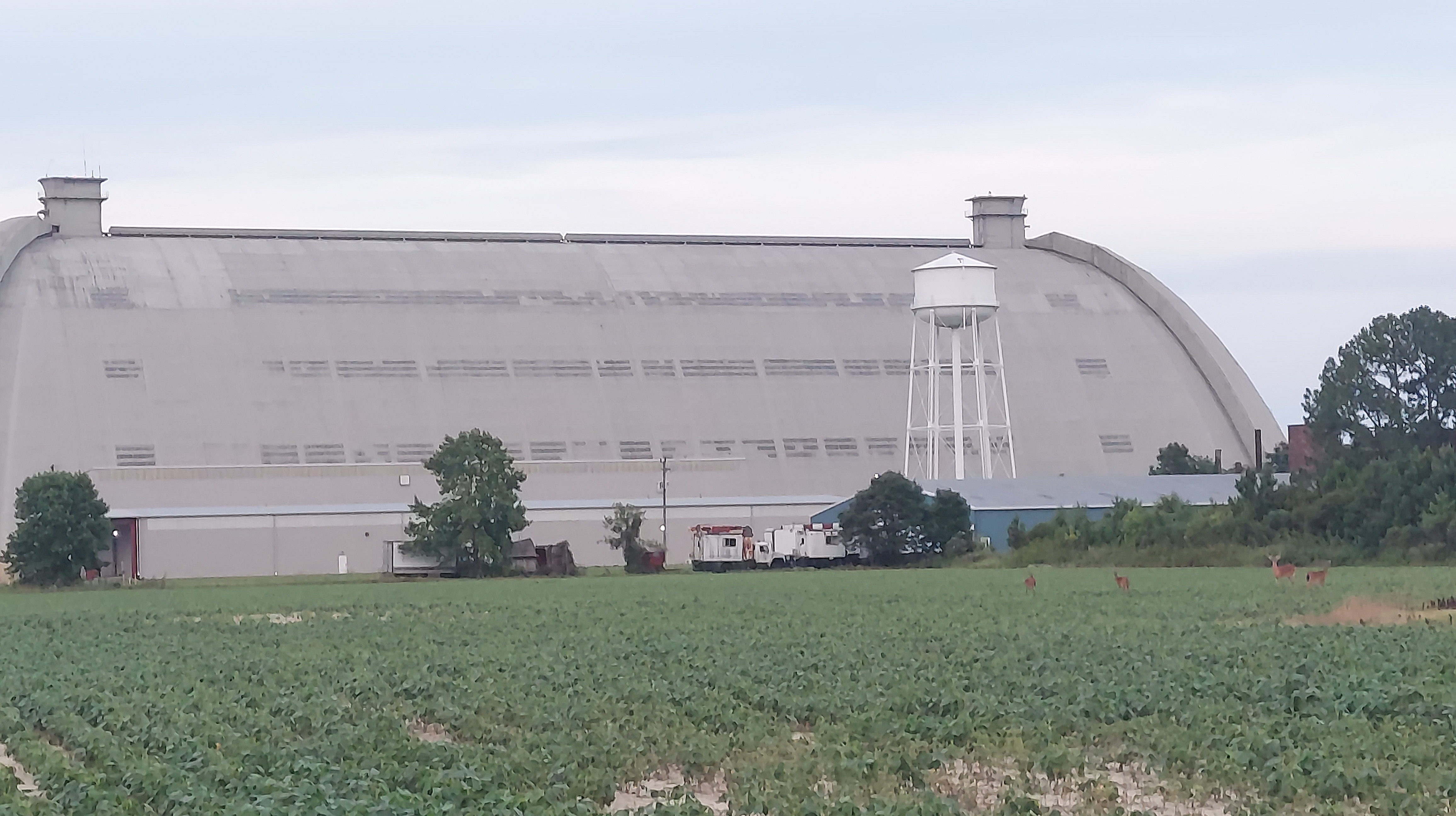
WEEKSVILLE AIR SHIP HANGAR (aka Naval Air Station Weeksville
There is one site southeast of Elizabeth City I feel is important to visit. The Weeksville Airship Hangar, built in 1941 to house blimps for World War 2 but out of use since 1957 still stands, on private property, beyond the Coast Guard station. Deer frolic on the surrounding farmland as I dash for a sundown picture.
Away to the Dismal Swamp he speeds—His path was rugged and sore /Through tangled juniper, beds of reeds /Through many a fen where the serpent feeds/ And man never trod before.
Thomas Moore, “A Ballad: The Lake of the Dismal Swamp” (written in Norfolk, VA, ~1803)
MUSIC AND MORE
Visit Chesapeake · Episode 2: Dismal Swamp Canal – A Refuge for Freedom
Podcast by Cassandra Newby-Alexander, Dean of College of Liberal Arts, Norfolk State University
Trailer for “The Great Dismal,” a new NC film for summer 2022 release that takes place in the swamp
Traveling the Dismal Swamp Canal vs the Virginia Cut a boat travel vlog by Abroad Reach Travel
CAMPING AND BOATING OPTIONS
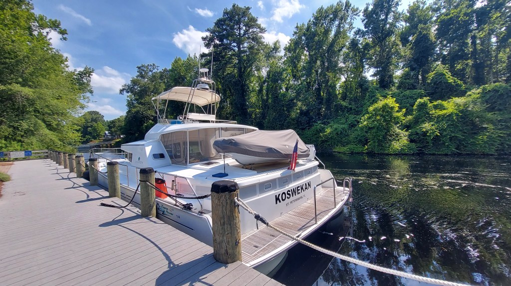
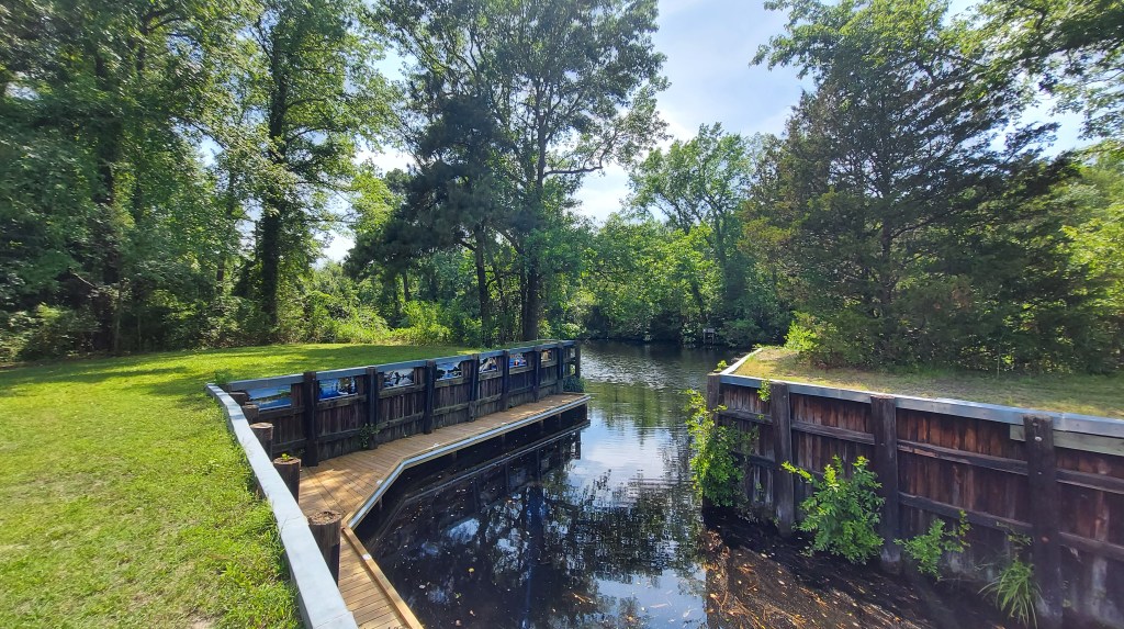
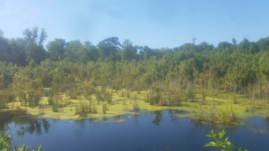
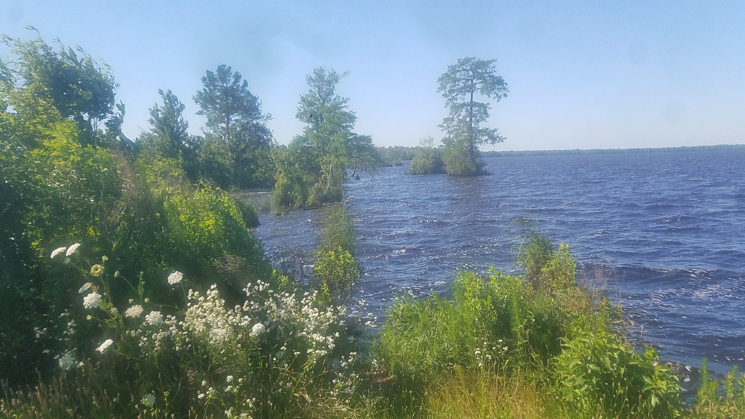
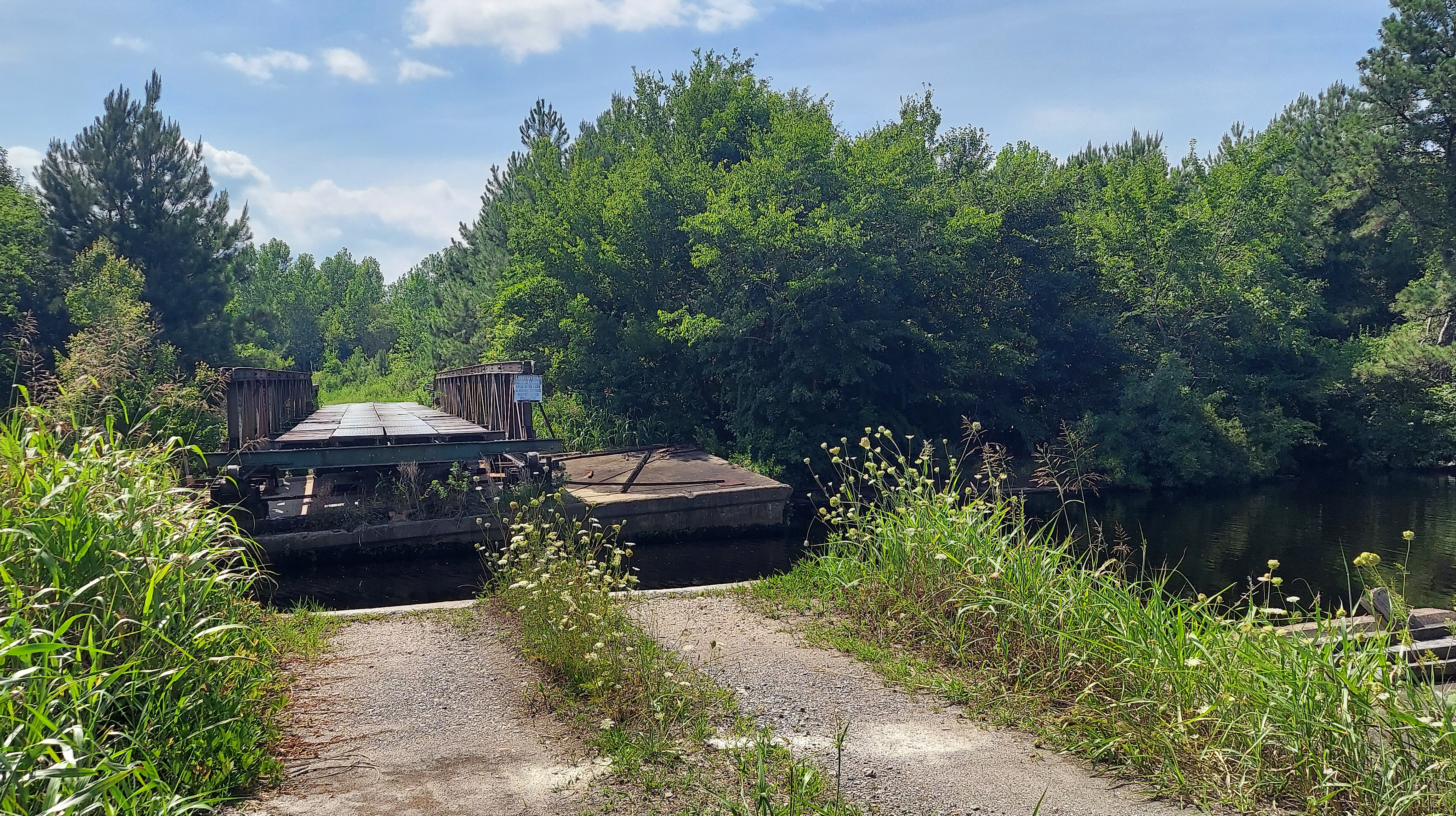
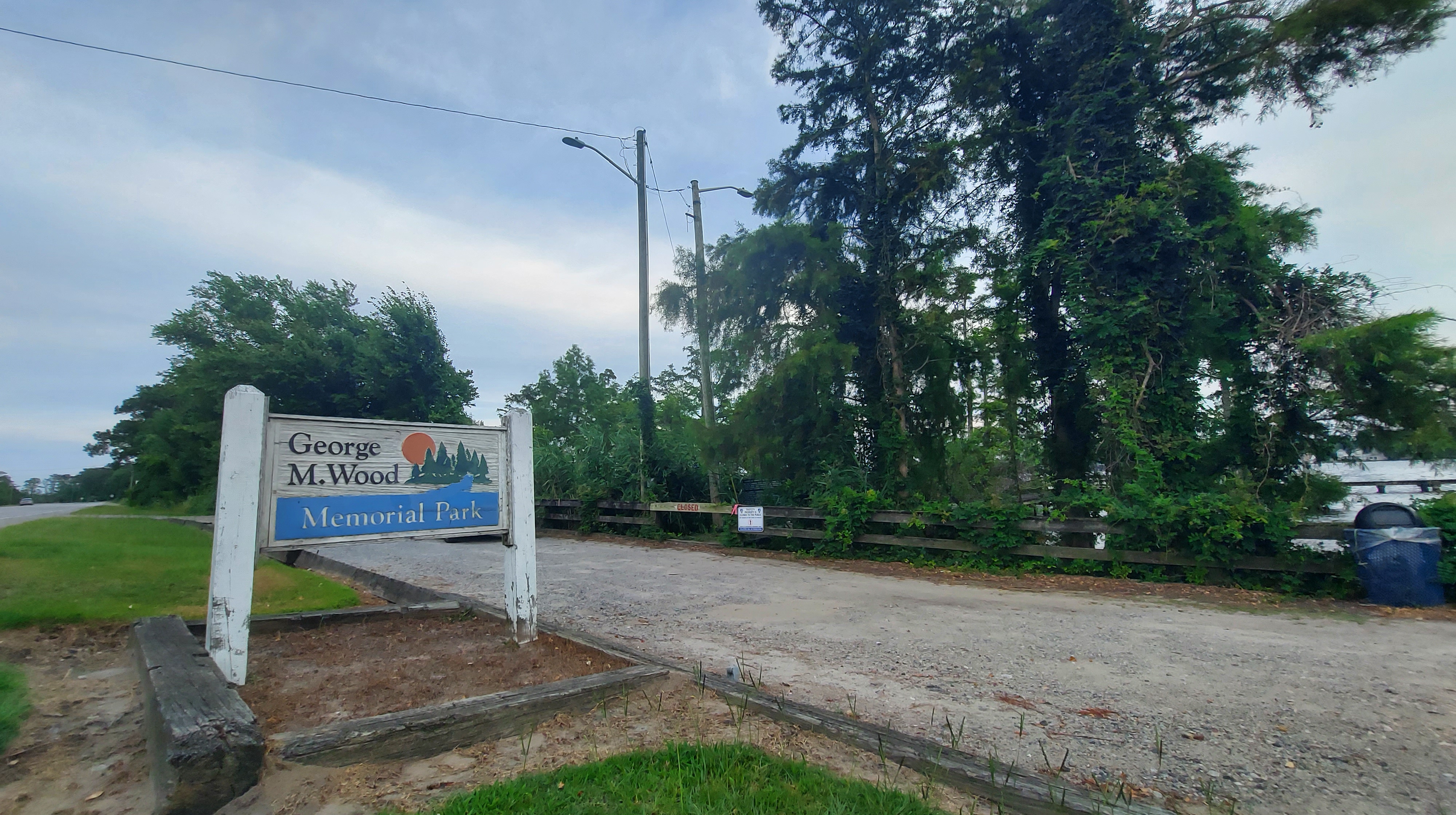
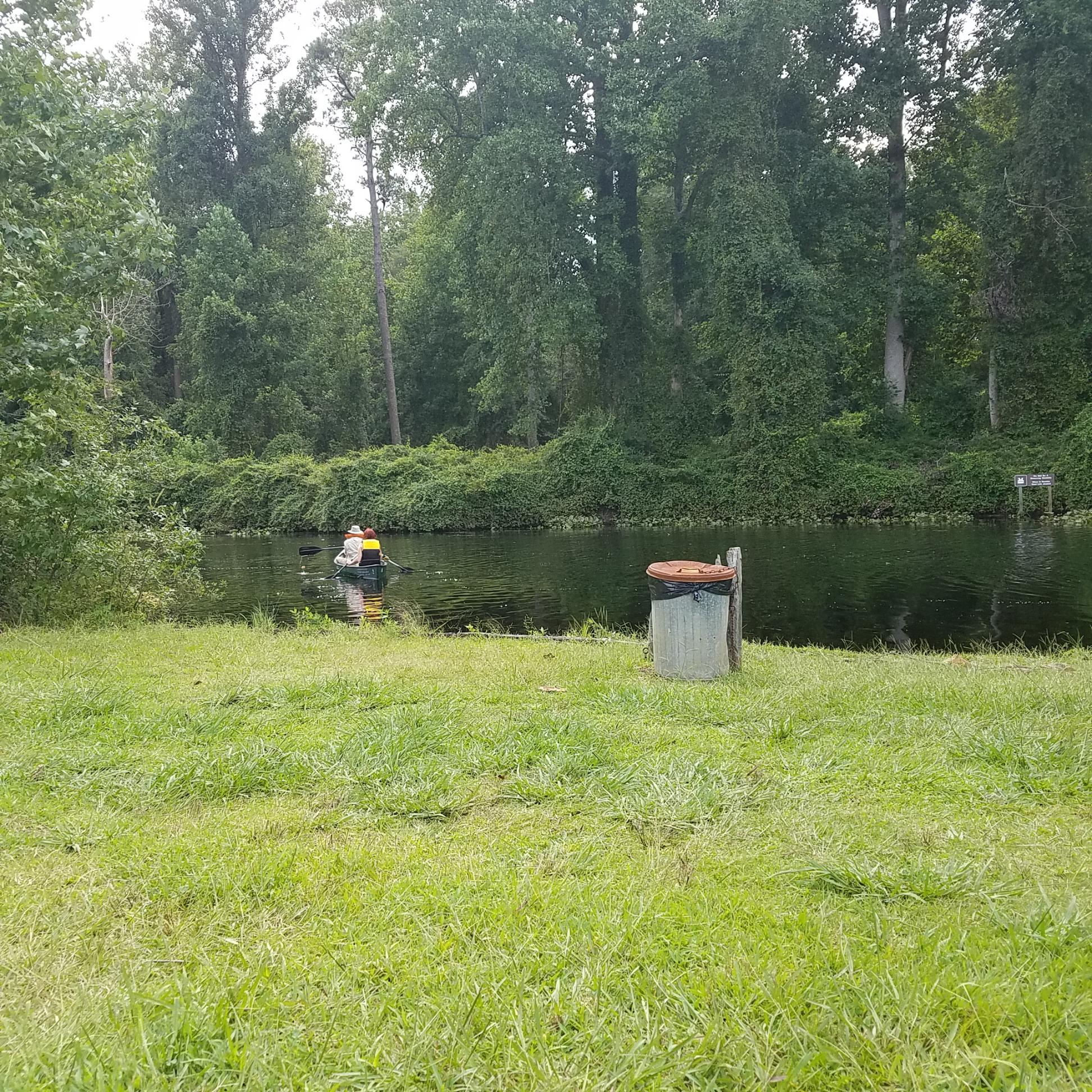
Chesapeake Campground, on the north end of the canal, has RV and tent sites and also rents canoes by the hour. In 2019, I rented a canoe with my family from them, though we did not camp there. We did, however, take a boat into the canal and it was fun to experience the water of the canal. Put-in was a challenge, and the renter is expected to lower and lift the canoe over the steep bank (photo above is at the put-in/take-out spot).
https://chesapeakecampgroundva.com/ 693 George Washington Hwy S, Chesapeake, VA 23323. (757) 485-0149
If you like canoe-camping, there are several camping spots on both sides of the Feeder Ditch east of Lake Drummond. The only access to these sites are by water, and Ballahack boat launch off US-17 is the closest put-in point. Campsites are managed by the Army Corps of Engineers.
Dismal Swamp State Park offers canoe/ kayak rentals with access beside the State Park bridge. (Car-top vessels only). Call (252) 771-6593 for availability and more information.
Adventure Kayak Tours offers a guided tour of the Dismal Swamp Canal, Feeder Ditch, and Lake Drummond. 2 hour, half-day, or full-day tours available. The website has rates and info: http://adventurekayaktours.net/kayak-adventures/flatwater-adventures/dismal-swamp/
...perhaps one day I'll get to ride again on a boat in the hidden Hospitality of Great Dismal swamp...

One thought on “Great Dismal Hospitality”