PART 1, Crabtree & Mine Creek Greenways, Raleigh, NC, August & September 2024 and such
Raleigh, North Carolina is the city where I was born and where I lived through college. As a child, I would play by the creek near our house and then walk along the wooded, sometimes rocky trail that followed it.


At NC State University, I took a geology class and we learned about “Raleigh Gneiss,” local faults, and how the Piedmont is more geologically complex than it may seem on the surface. My favorite places to explore included wild Lake Raleigh on the NC State Centenial Campus and the historic Lassiter Mill dam on Crabtree Creek.
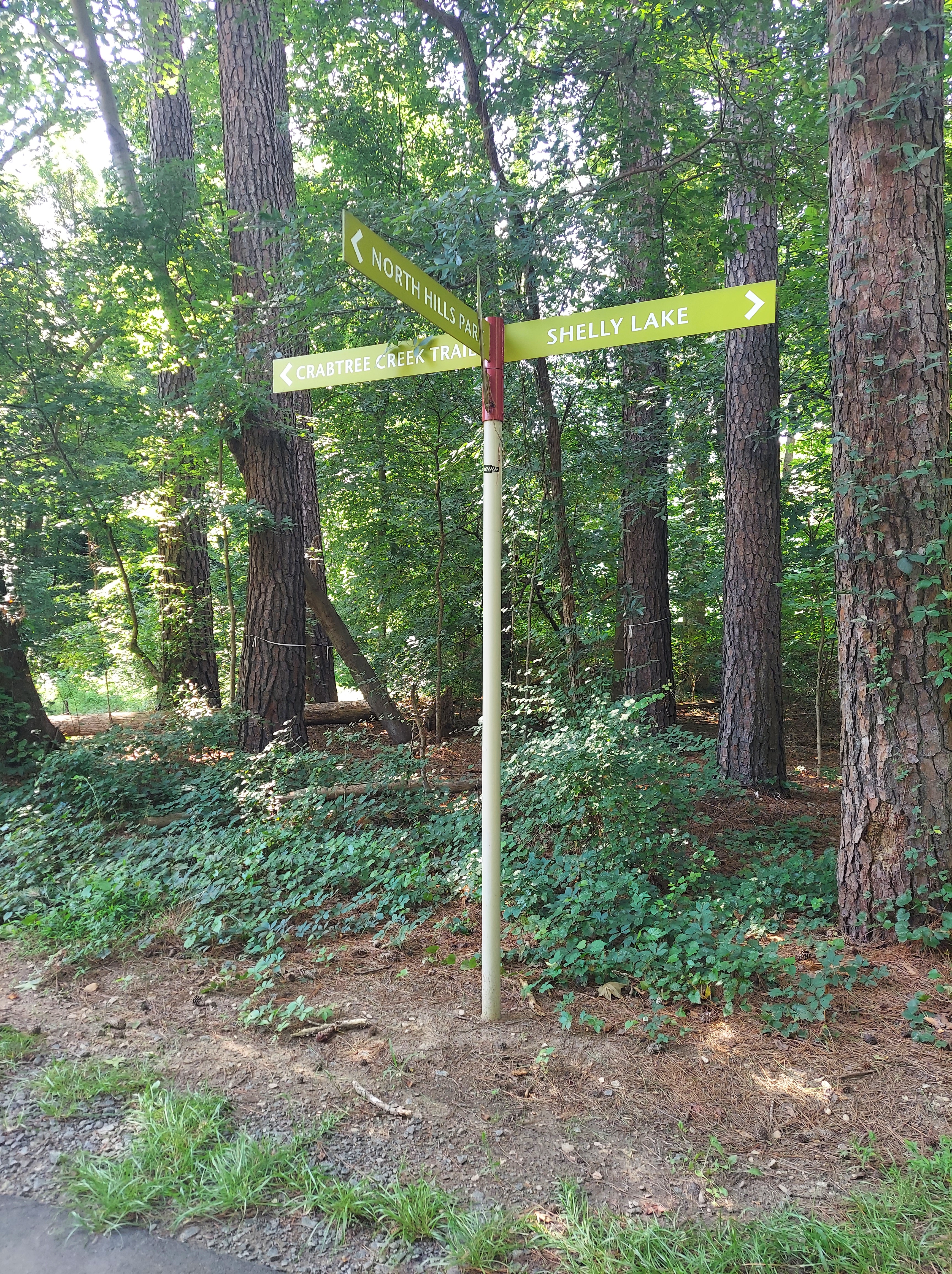
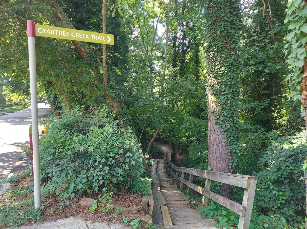
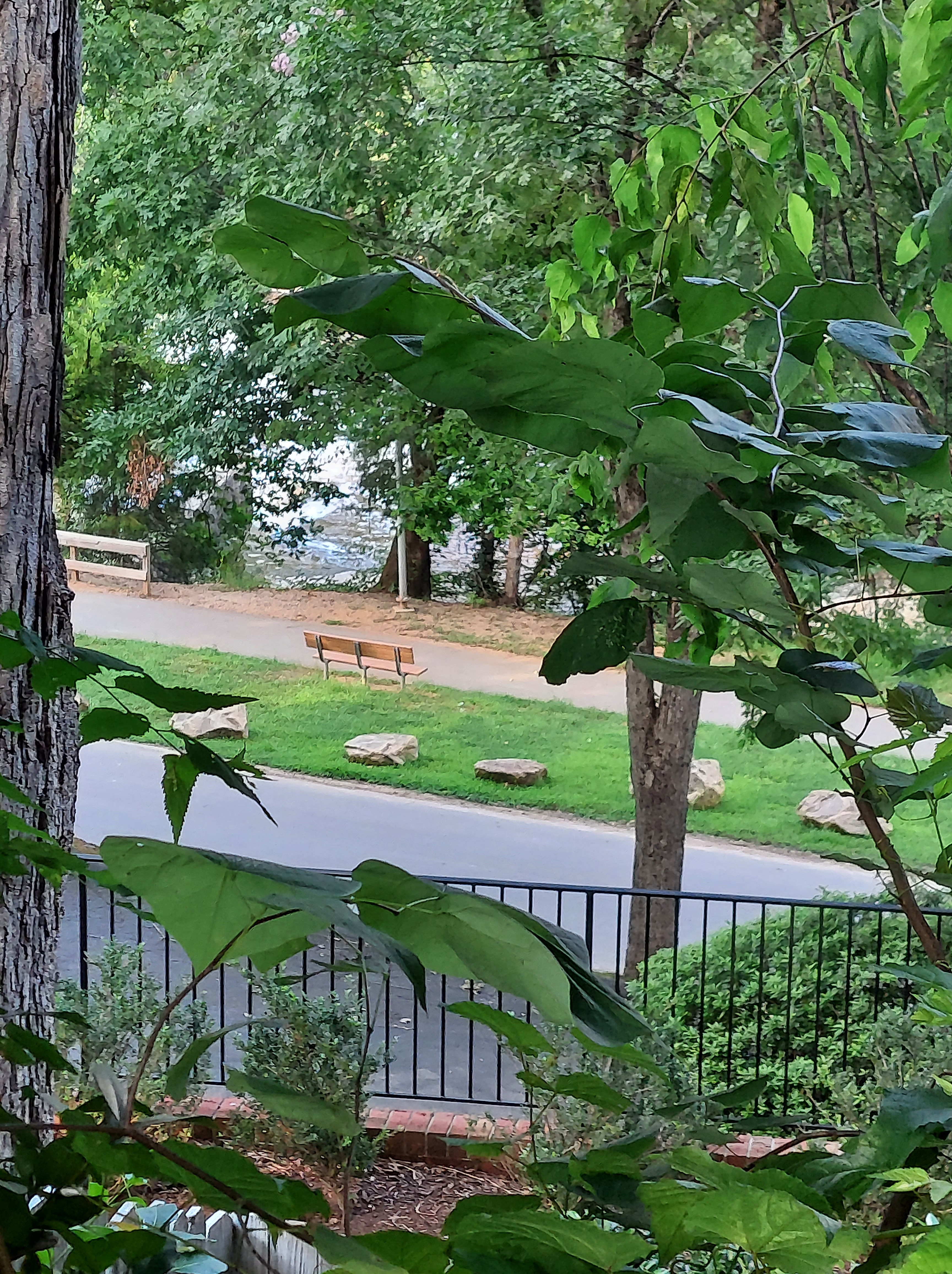
Years later, Lake Raleigh is surrounded by fancy student housing and a golf course, and Lassiter Mill dam is part of a small city park. The greenway system connects Mine Creek, where I would play and walk, to Crabtree Creek, Lassiter Mill, and beyond, and much of it is paved. The Crabtree Creek greenway follows the creek ultimately to its meeting with Neuse River and its trail, part of the NC Mountains-to-Sea trail that goes to the Smokies and the coastal wetlands.
Along the remnants of ancient mountains and basins, shaped by land masses separating inconsistently to form the continents of the current era, rock formations tell their stories, direct stream flow, and influence human development. Exposed bedrock walls can be found on paths near shopping centers and behind apartment complexes.
TOUGH SCHIST, AUNTIE FORM
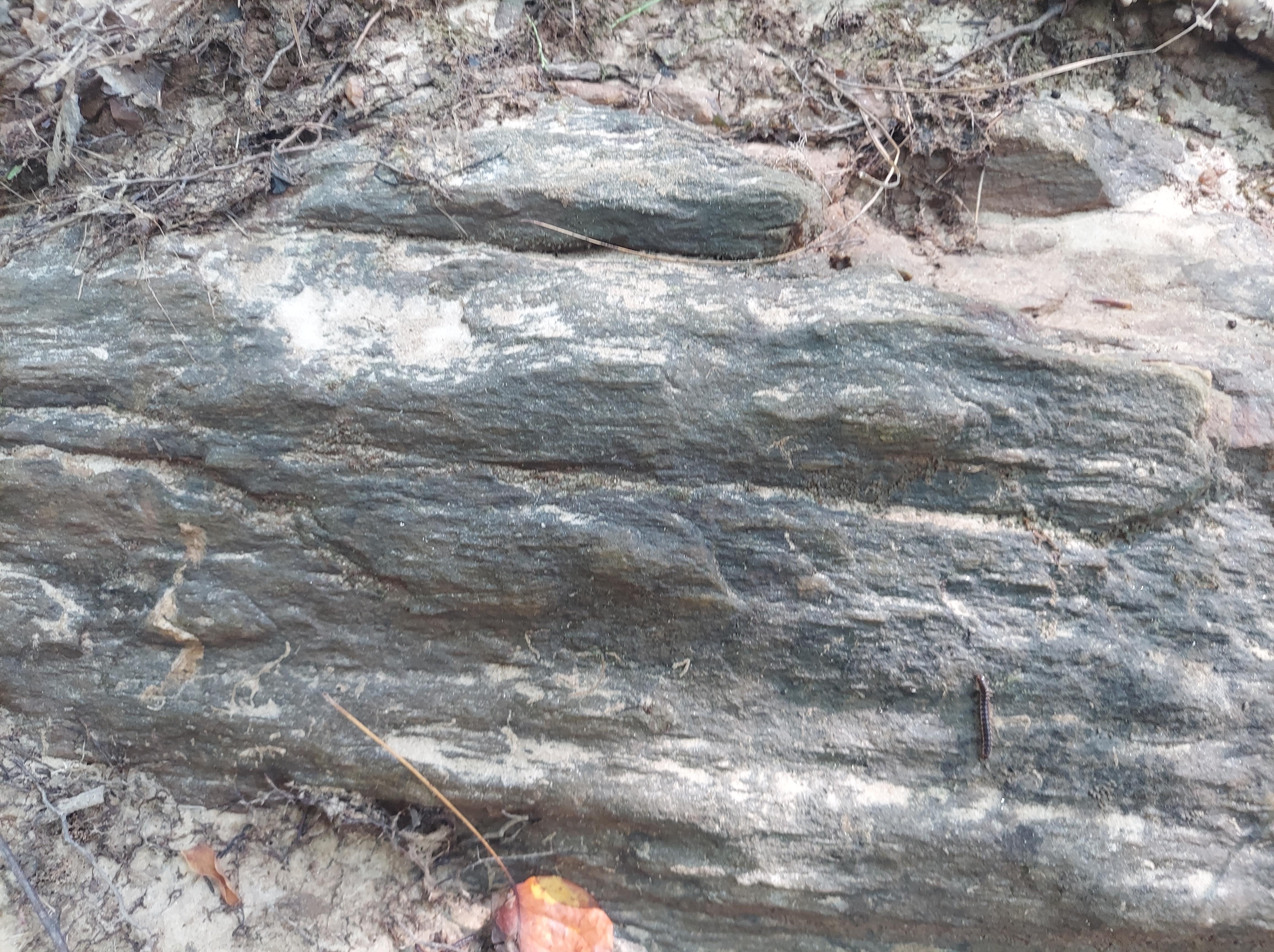
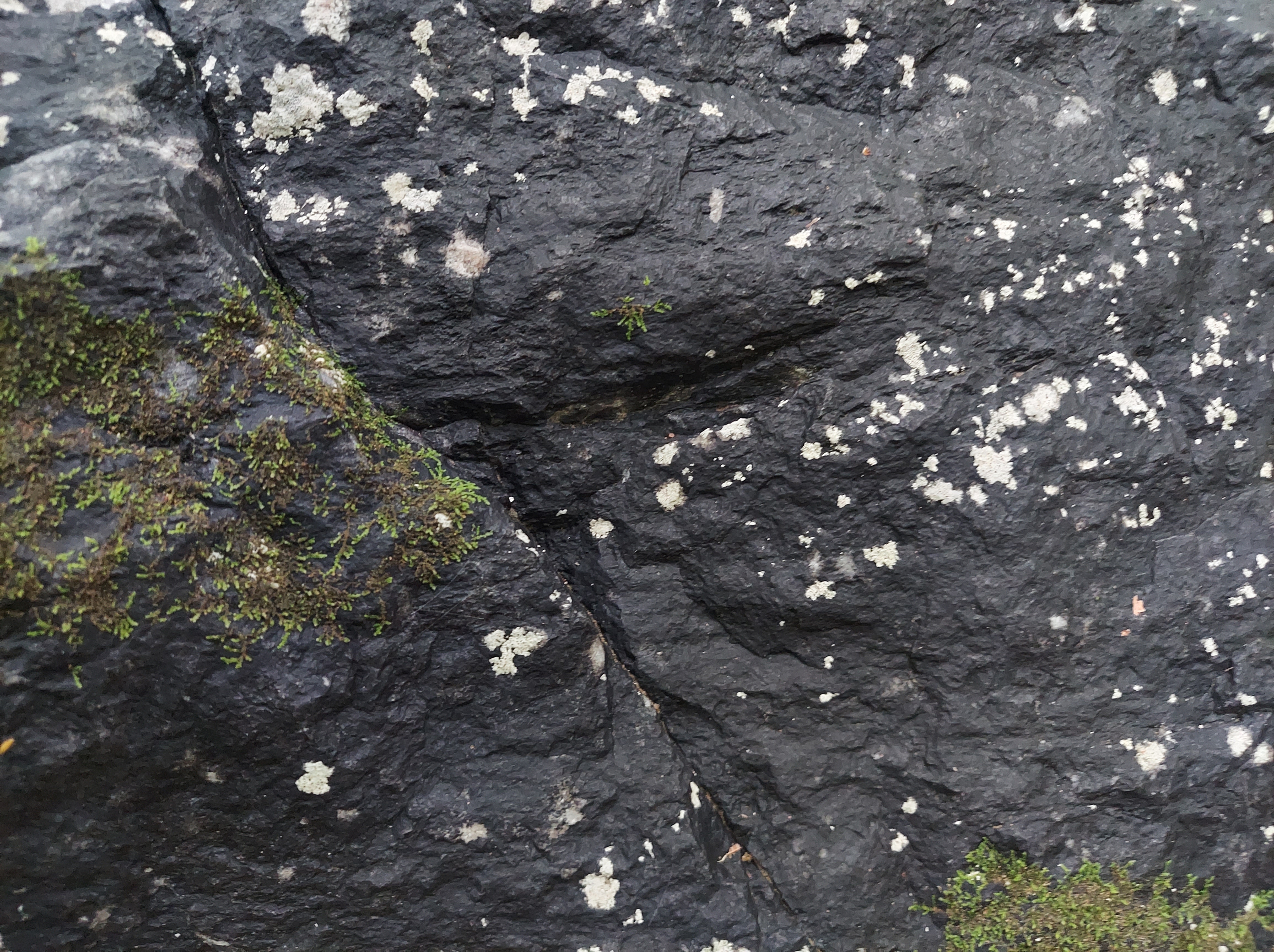
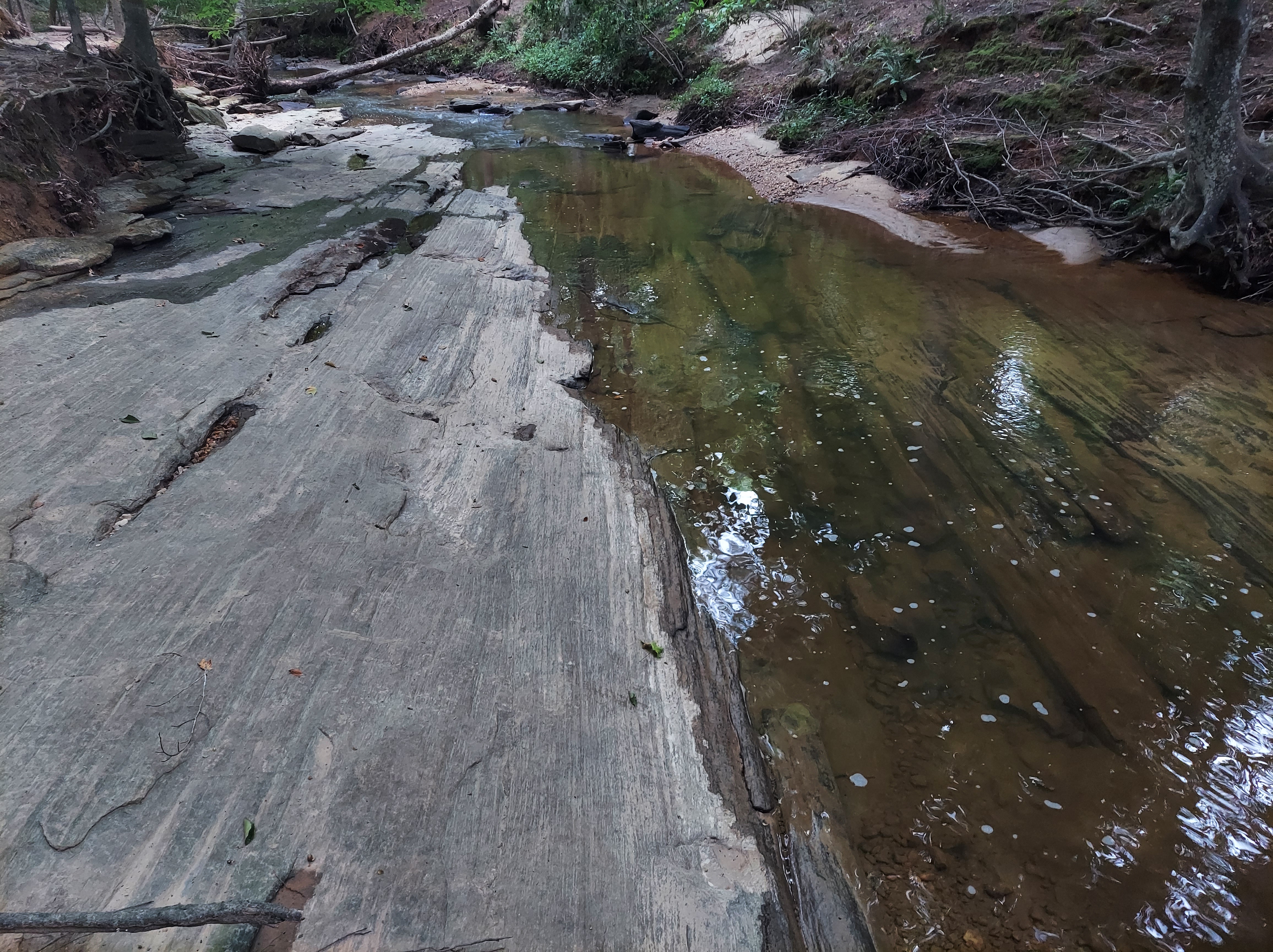
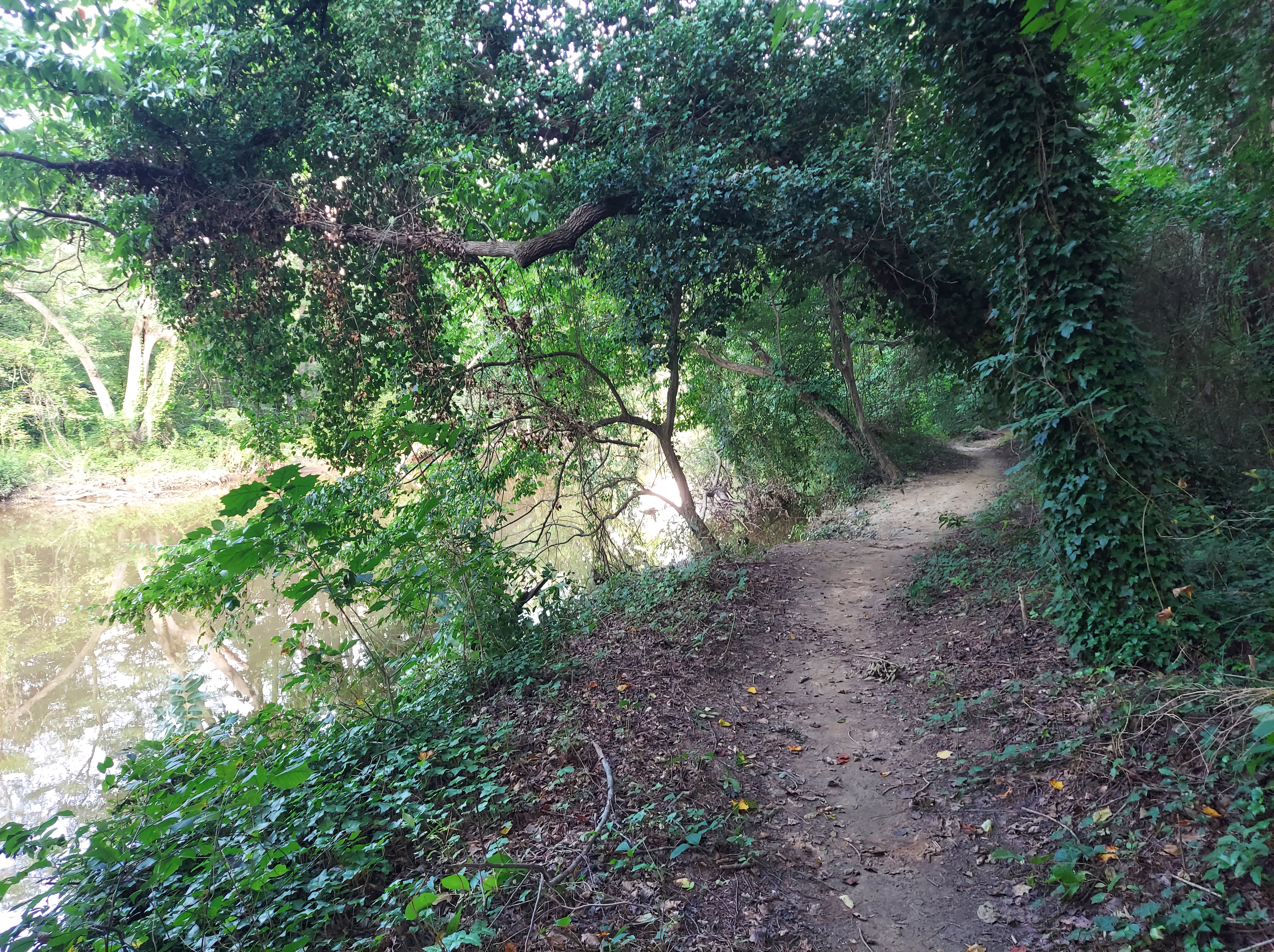
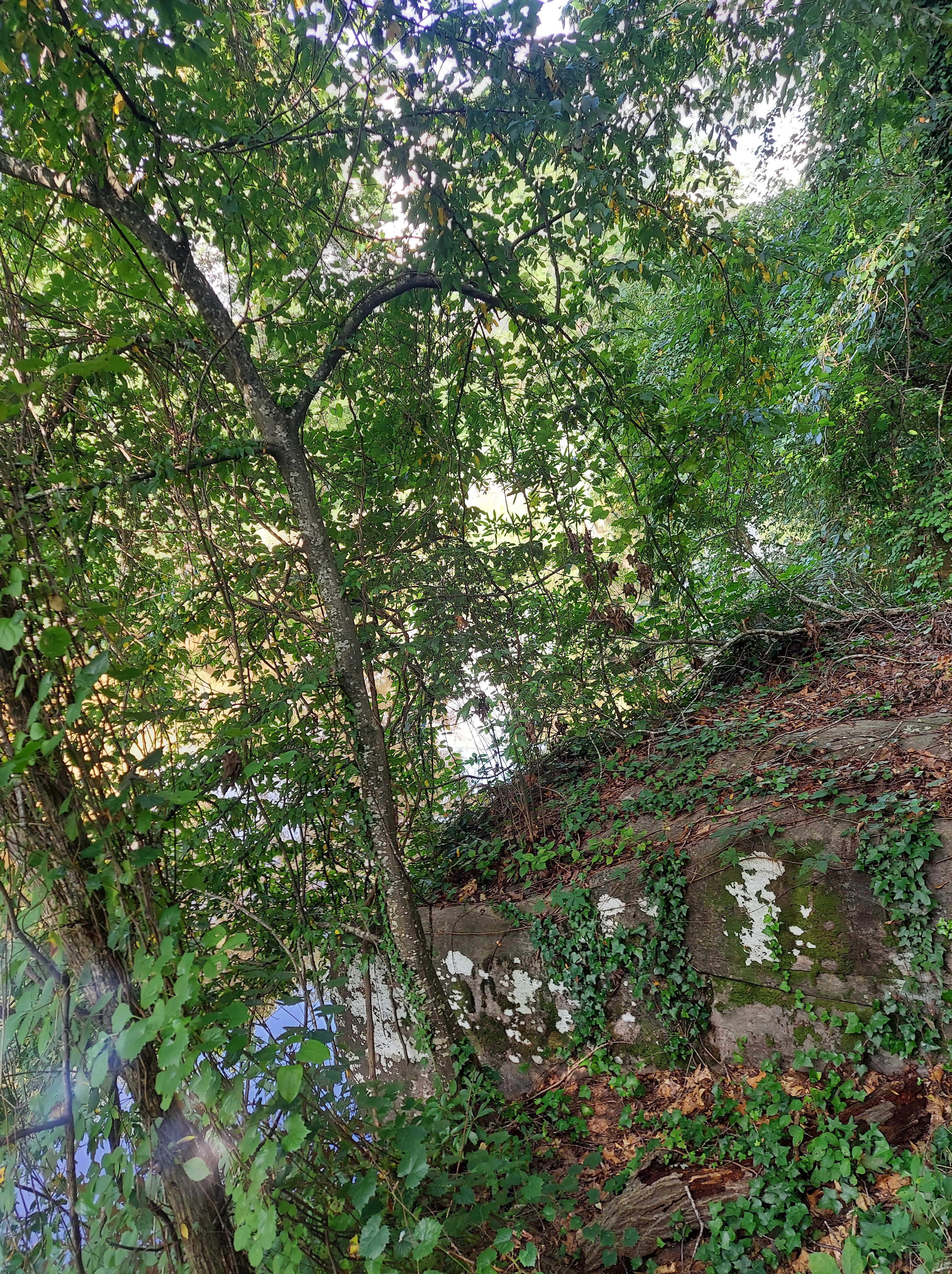
Mine Creek, also known as Lead Mine Creek, flows southward in north Raleigh along an antiform fold, exposing bedrock containing deposits of graphite (carbon) along some of its steep banks. Graphite was mined for use years ago as pencil “lead,” giving the creek its name. Around the confluence of its west and east forks, sheets of metamorphic Schist rock cut across the creekbed and cover the trail. Water rushes through these rocky areas as the Creek bends and bends again. A smaller tributary flows across blackish-gray rock layers, making a waterfall. This hilly, cliffy section of trail was so exciting to find as a kid, and I still enjoy exploring it today.

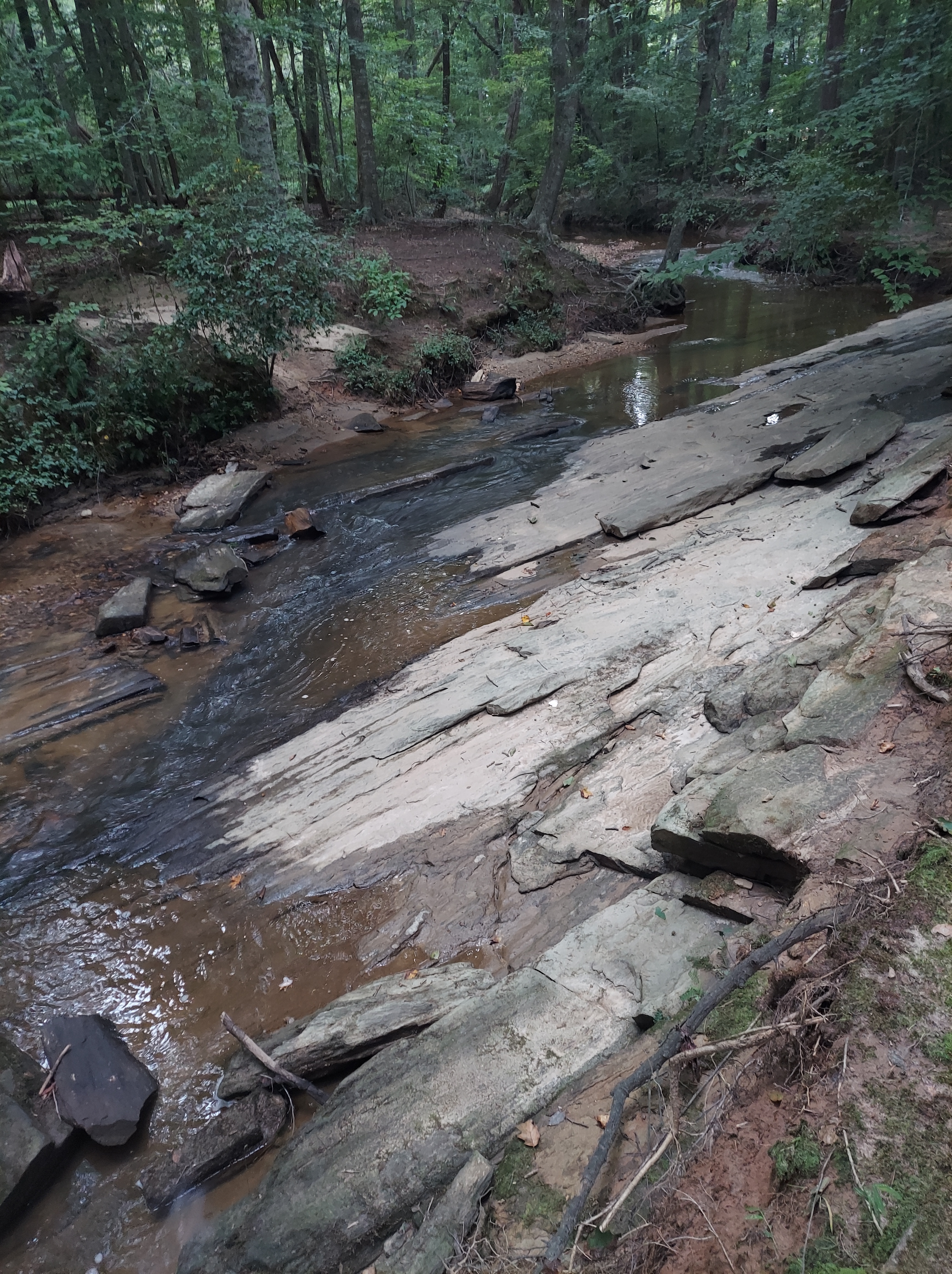
As a city greenway, the path is now mostly paved and level. The occasional rocky and hilly sections, like this part, are remnants of the older trails where they may cross a harder bedrock layer. The Piedmont around Raleigh is full of metamorphic schist and gneiss, situated on a slight peninsular ridge between sedimentary basin* and coastal plain. This geologic arrangement is an effect of the collision of land masses that also created the Appalachian mountains and then the rough, slow breakup of Pangaea and the opening of the Atlantic Ocean.
Some important sites have been built on or along the peninsular ridge of metamorphic rock, including downtown Raleigh, North Hills, and Lassiter Mill.
More about the geology of Mine Creek:
http://ncgreenwaysgeology.blogspot.com/2013/11/ironwood-trail.html?m=1

A GNEISS WALK
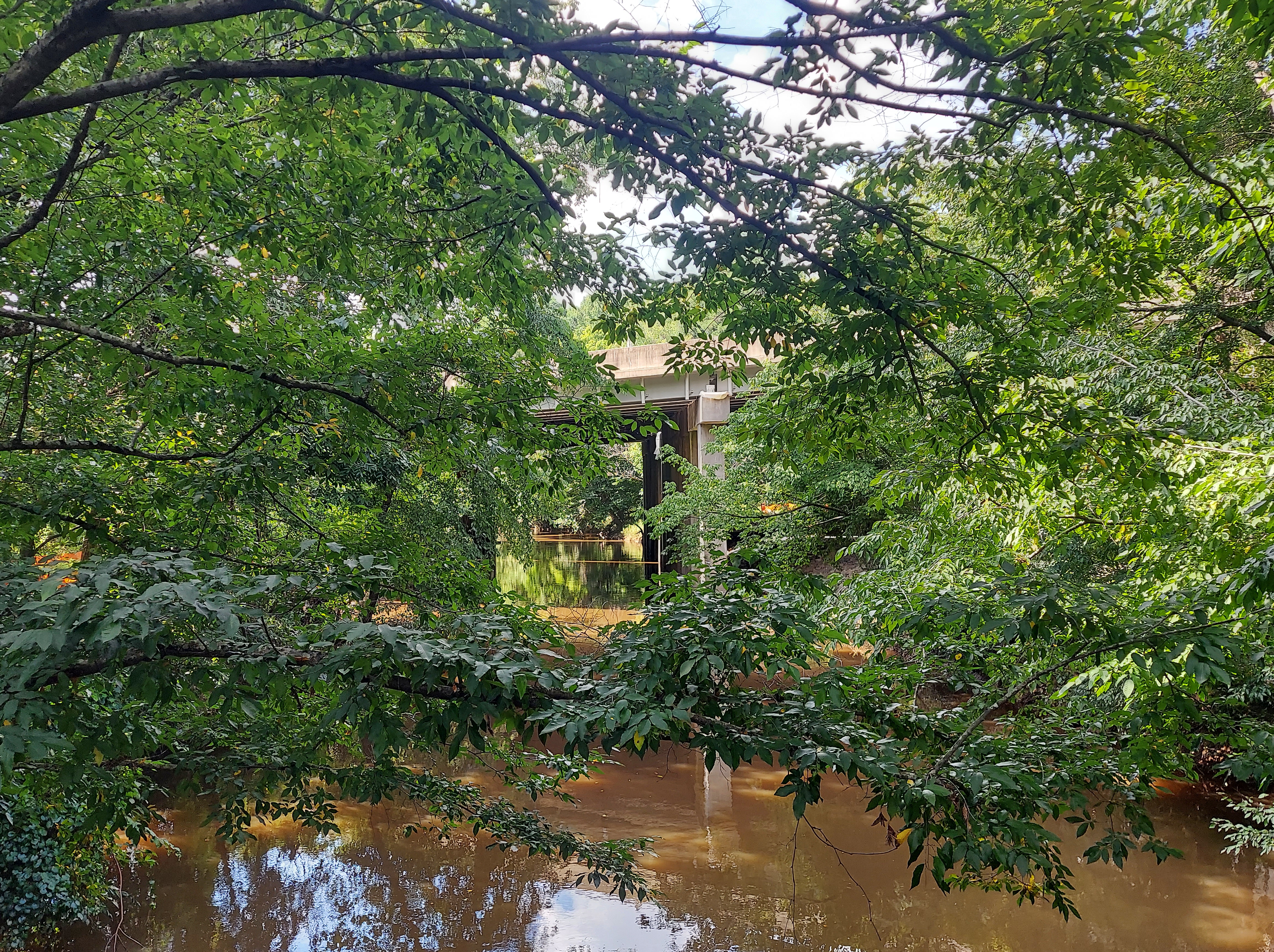
It’s also almost perfect outdoors weather, after weeks of hot, humid summer, followed by Debby and other storms. On the Crabtree Creek greenway, plenty of people are out walking and bicycling as I go from cut banks to outcrops. The section between Crabtree Valley mall (very sedimentary) and Lassiter Mill (very gneiss) is paved and flat, taking travelers under the (440) beltline as the Creek meanders then crosses a fault.

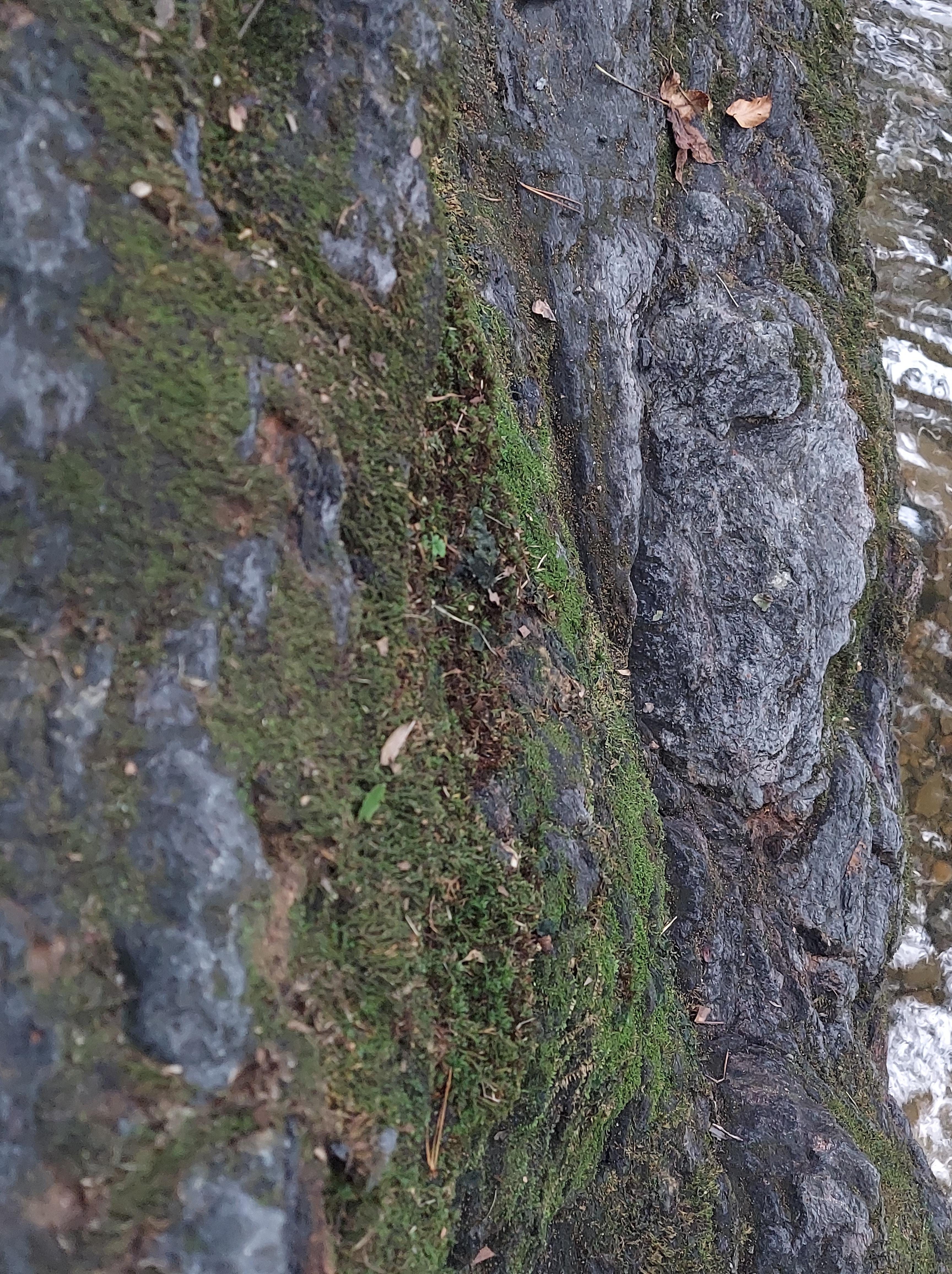
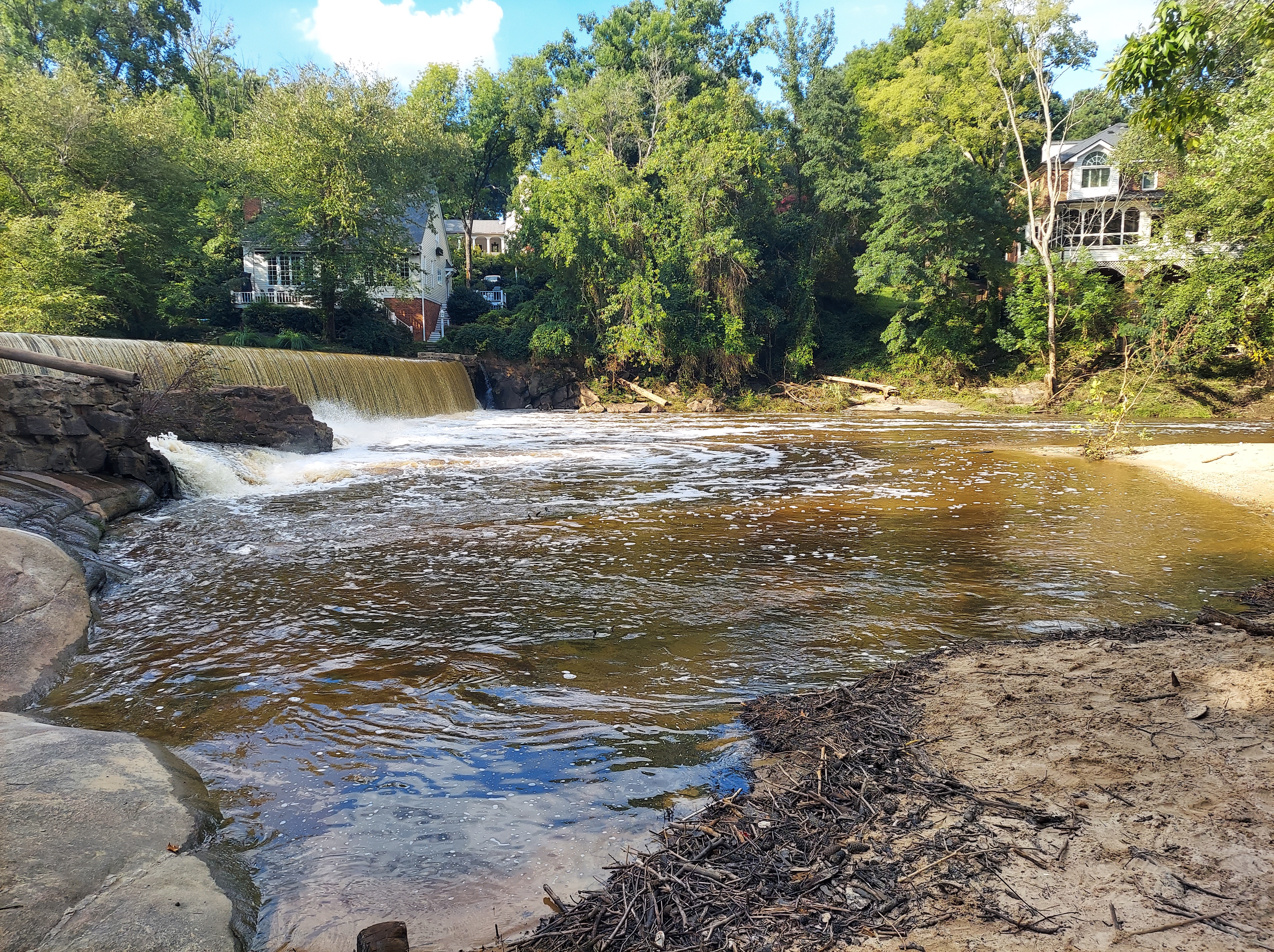
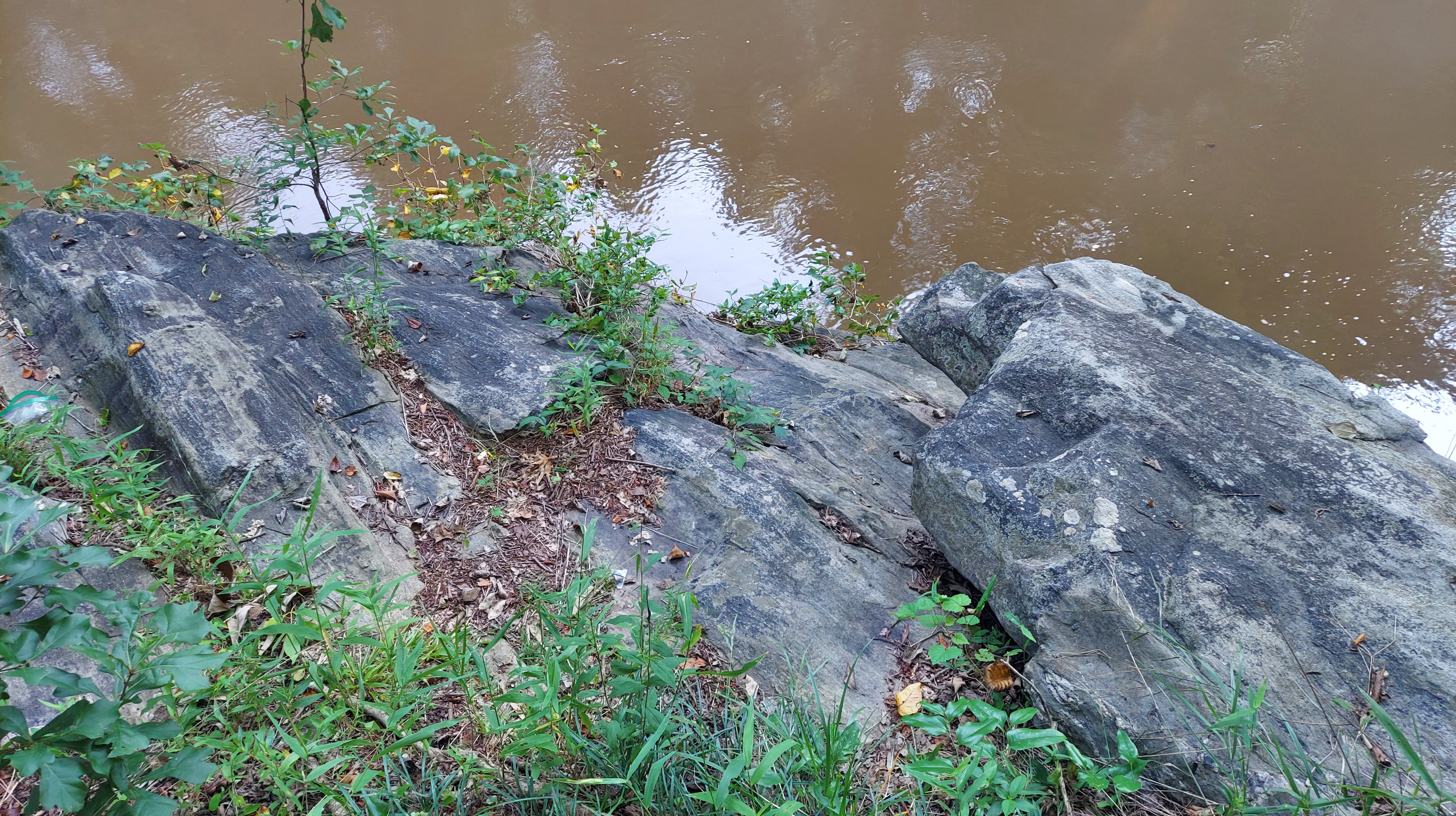
Leucogneiss is the name of the banded, granitic metamorphic rock that extends out at Lassiter Mill, and it’s also what was used to construct the dam.
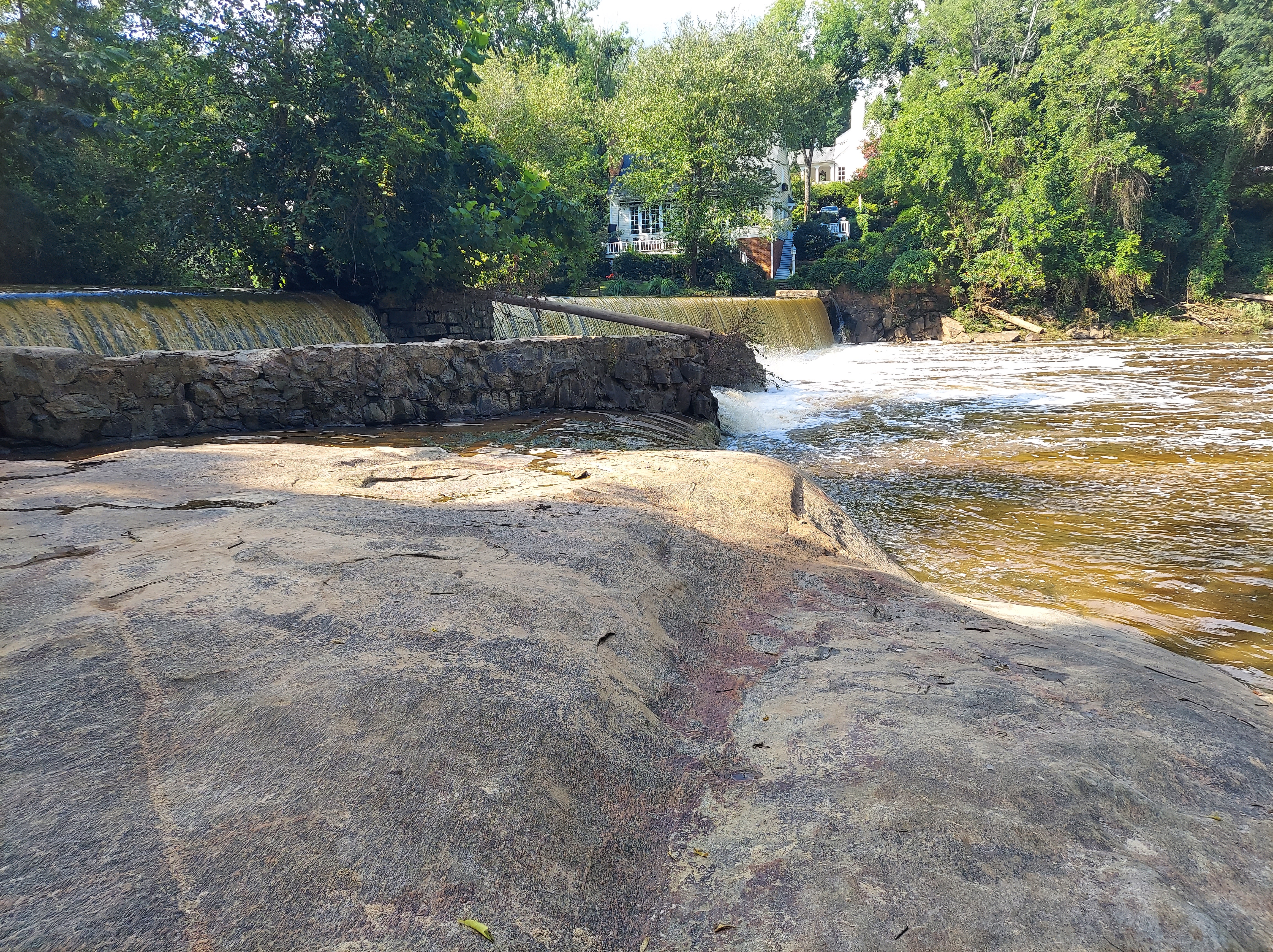
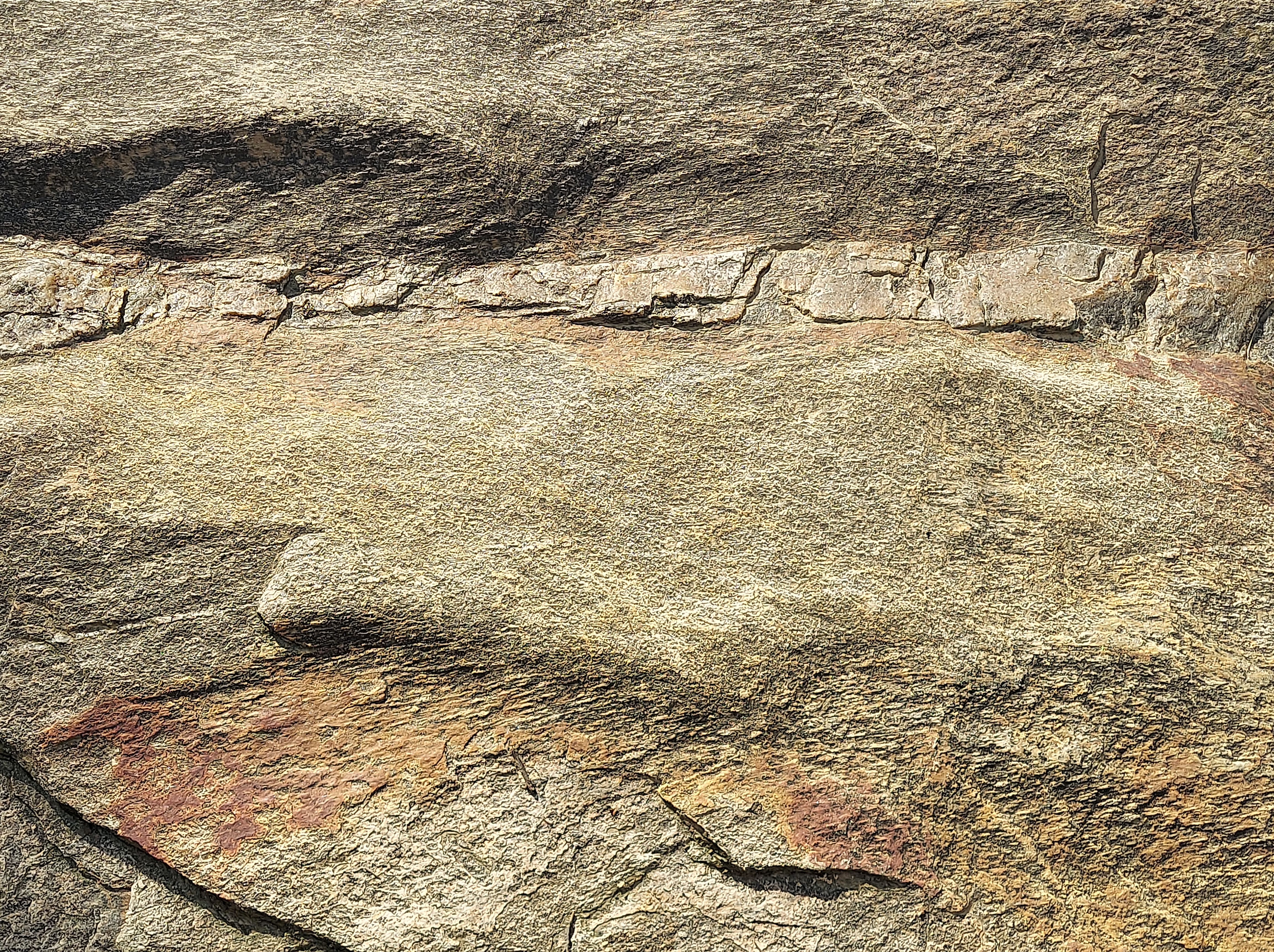

I sit for a time on the Leucogneiss outcrop, as I did many years ago, this time examining the different textures, lineation, and colors, as water flows loudly over the dam. Soon, a young mother and her son arrive. They recently moved to Raleigh, and the boy is very interested in the dam, calling it a “waterfall.” The strong current here means the creek is not for play; it moves quickly through the metamorphic bedrock, and has been known to take people with it (especially after a storm).
For more about the geology of Crabtree Creek and the Raleigh terrane:
http://ncgreenwaysgeology.blogspot.com/2015/03/crabtree-creek-trail.html?m=1
Back along Mine Creek near its confluence with Crabtree Creek, where the banks suddenly rise toward neighborhoods and dark schist crops out by the paved path, I hear “Running up that Hill” by Kate Bush playing from one of the houses. In the fold, I sing along.
https://youtu.be/wp43OdtAAkM?si=RxetlnY1bJkNBX4v
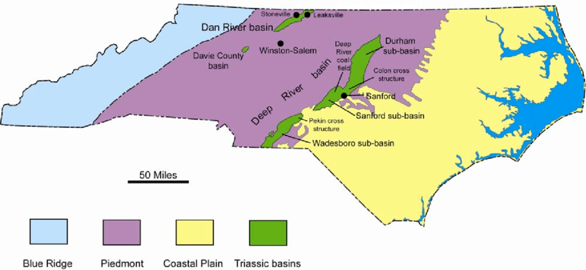
*Sedimentary Triassic rift basins of the Piedmont of North Carolina and Virginia will be explored in part 2.
Map Sources: NC and US Geological Survey
