SHE WORE A GREEN LYCRA DRESS TO THE WAREHOUSE PARTY
The parties were funded by DuPont as it set up on a spring basin near the river. The scene had been Basic before that, it was all metal. Then came the industrial dance all-nighters and occasional death rock and harsh noise. It got huge, over several blocks. The Plant was the hottest party in town. Thousands of people came. Everyone was in rayon and spandex. Then the river got contaminated and places shut down. The Plant was sold… it’s all different now.
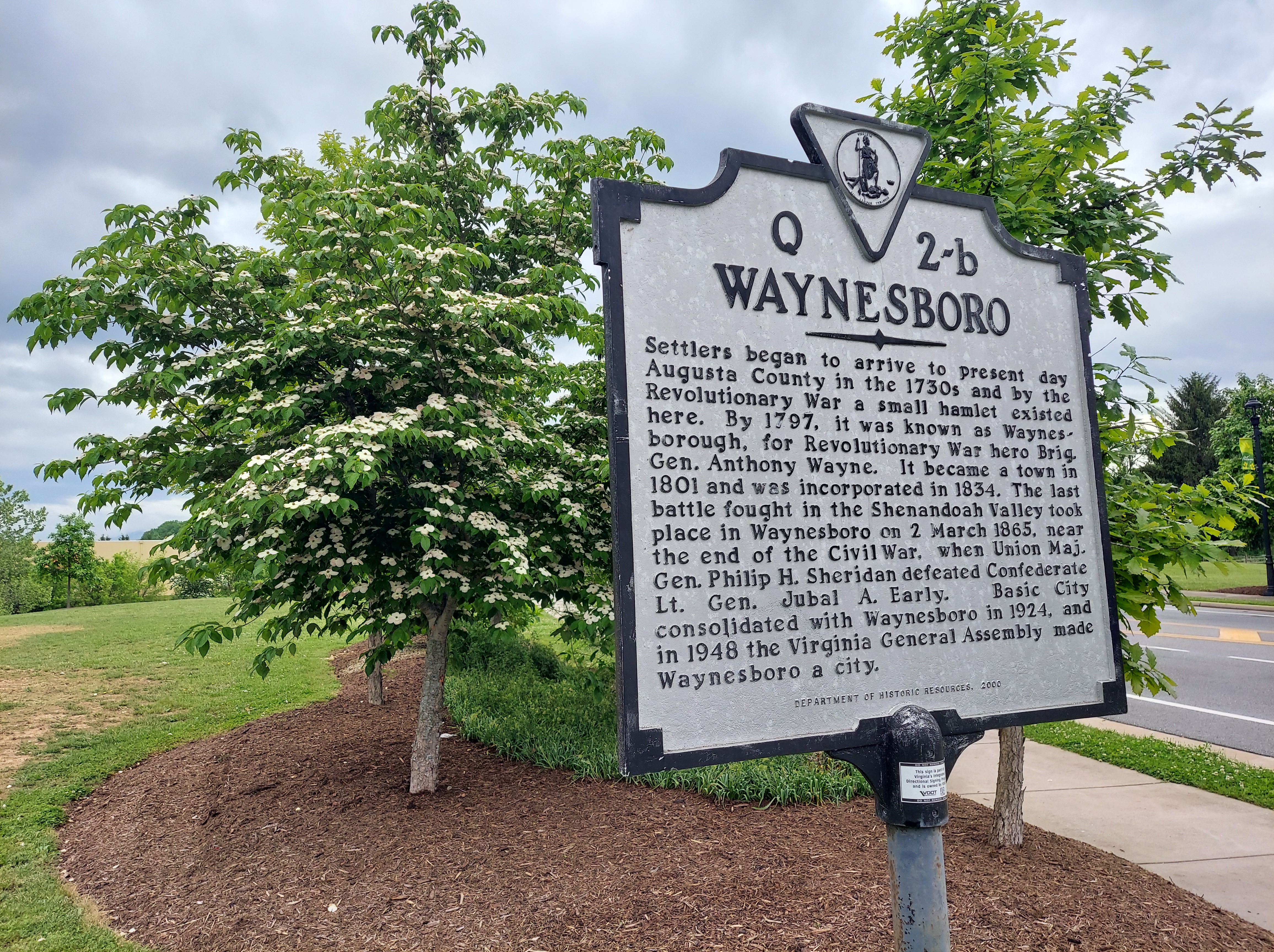
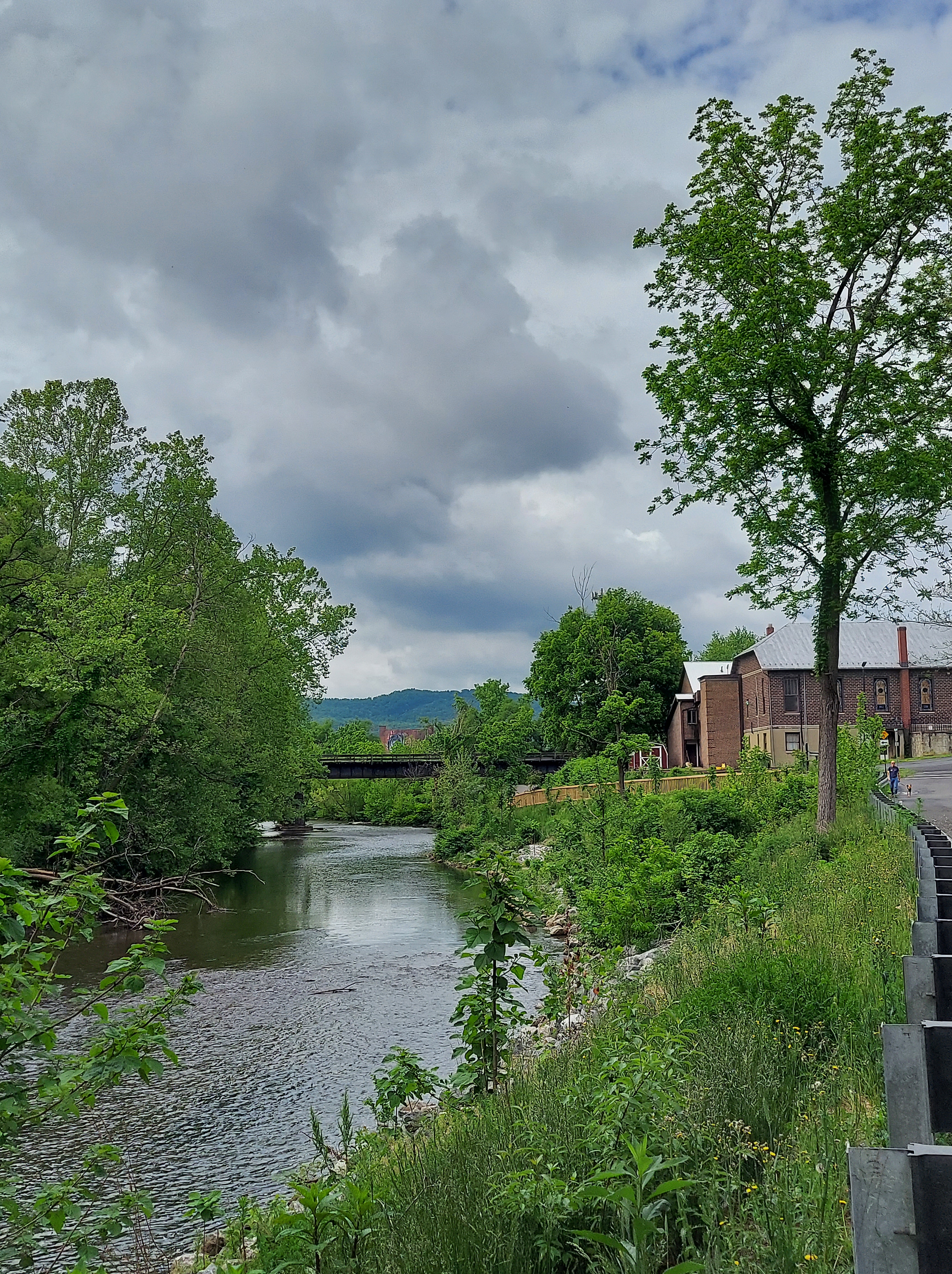
Two fishermen in the river are taking a survey with a woman standing on the bank as I walk by. Up the hill, a local farmer’s market is going on. The greenway is active with runners, dogs walking with their humans, and kids walking with their adults. Two people sit in canoes near the bridge, possibly starting a trip down the river. It’s a weekend morning in “laid-back” Waynesboro, an industrialized town in the lovely southern Shenandoah valley.
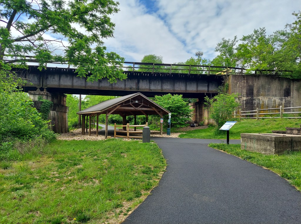
As mentioned in part 1, I am exploring the downtown and riverside, using “Kaiya with Tulips” as a landmark. From the Main St Bridge, interesting historical sites, artwork, and old structures can be found walking north and south along the greenway.
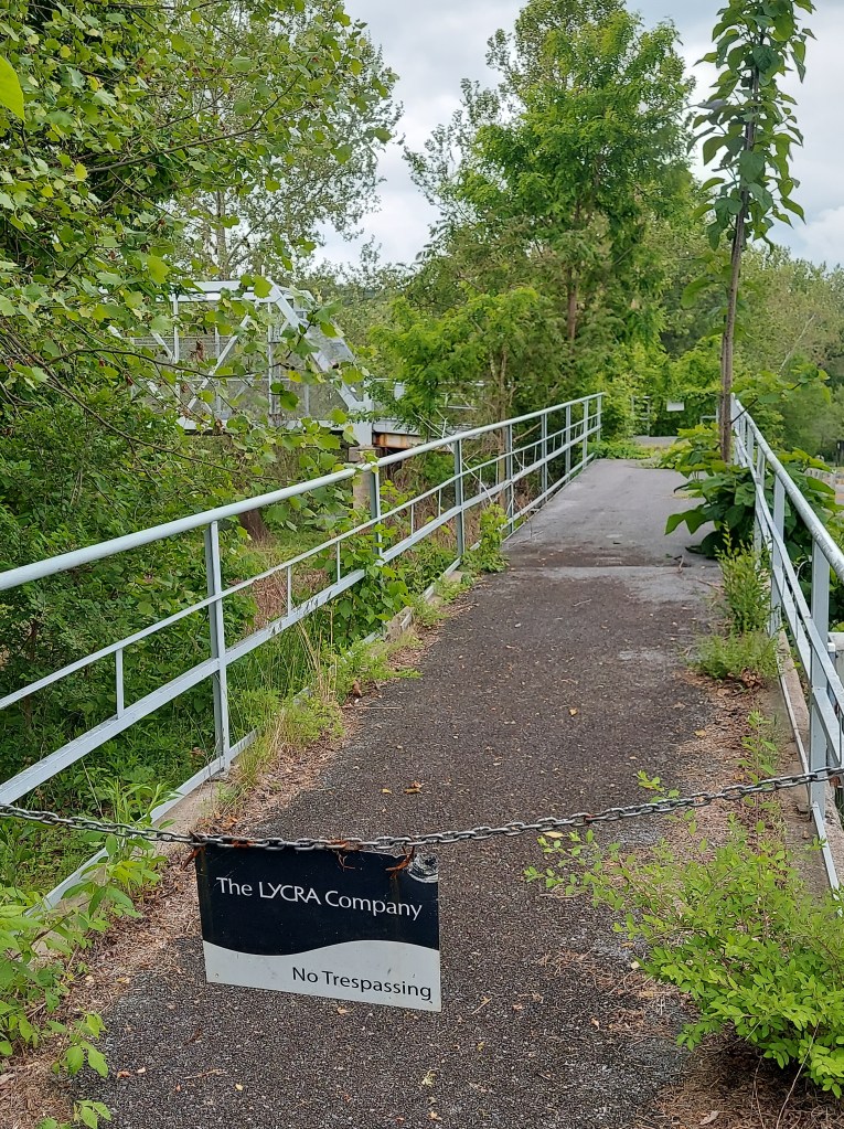
South of Main St, the paved path follows the bends of the South River on its west bank between two industrial complexes. The large DuPont plant (still making Lycra but now owned by Lindeman Asia, China Everbright Ltd, and other companies) was built in the spring basin in the 1920’s on the east bank and is fenced off, but for a gated metal bridge quickly being reclaimed by mother nature.
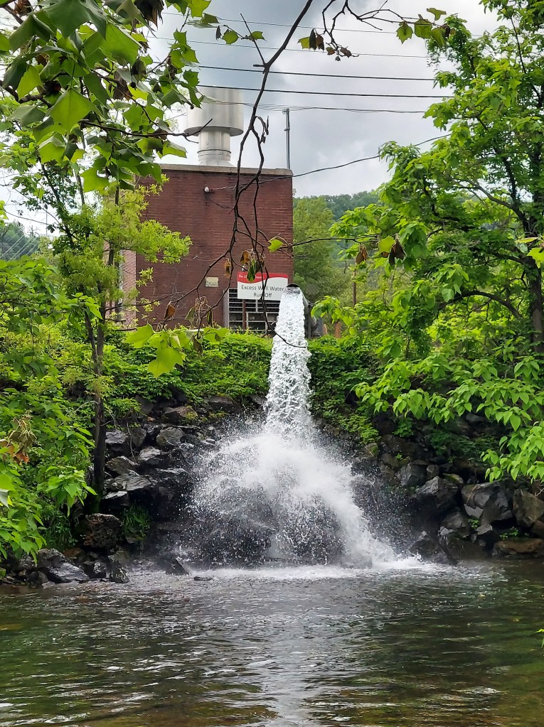
(the sign says “excess well water run-off”). This is part of the DuPont/Lycra plant complex.
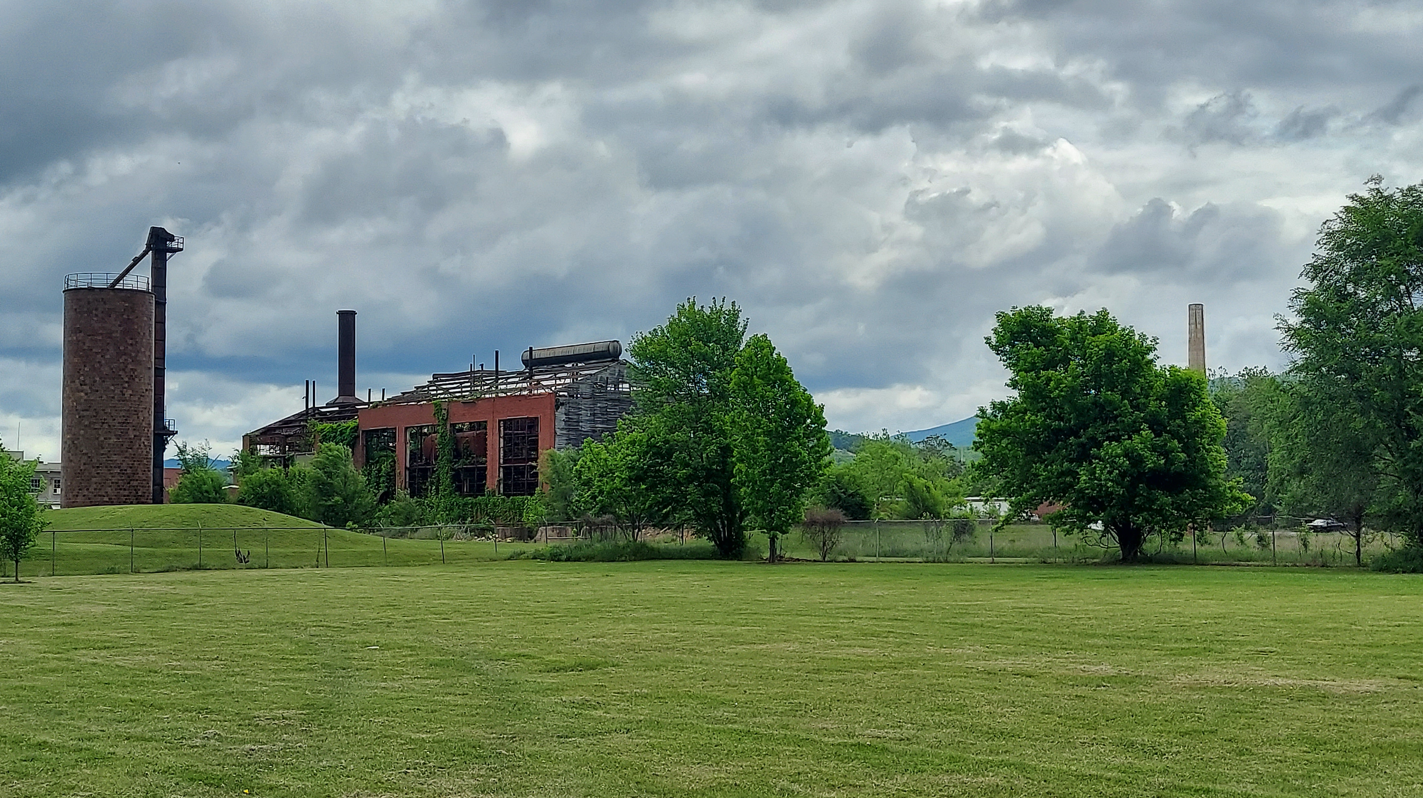
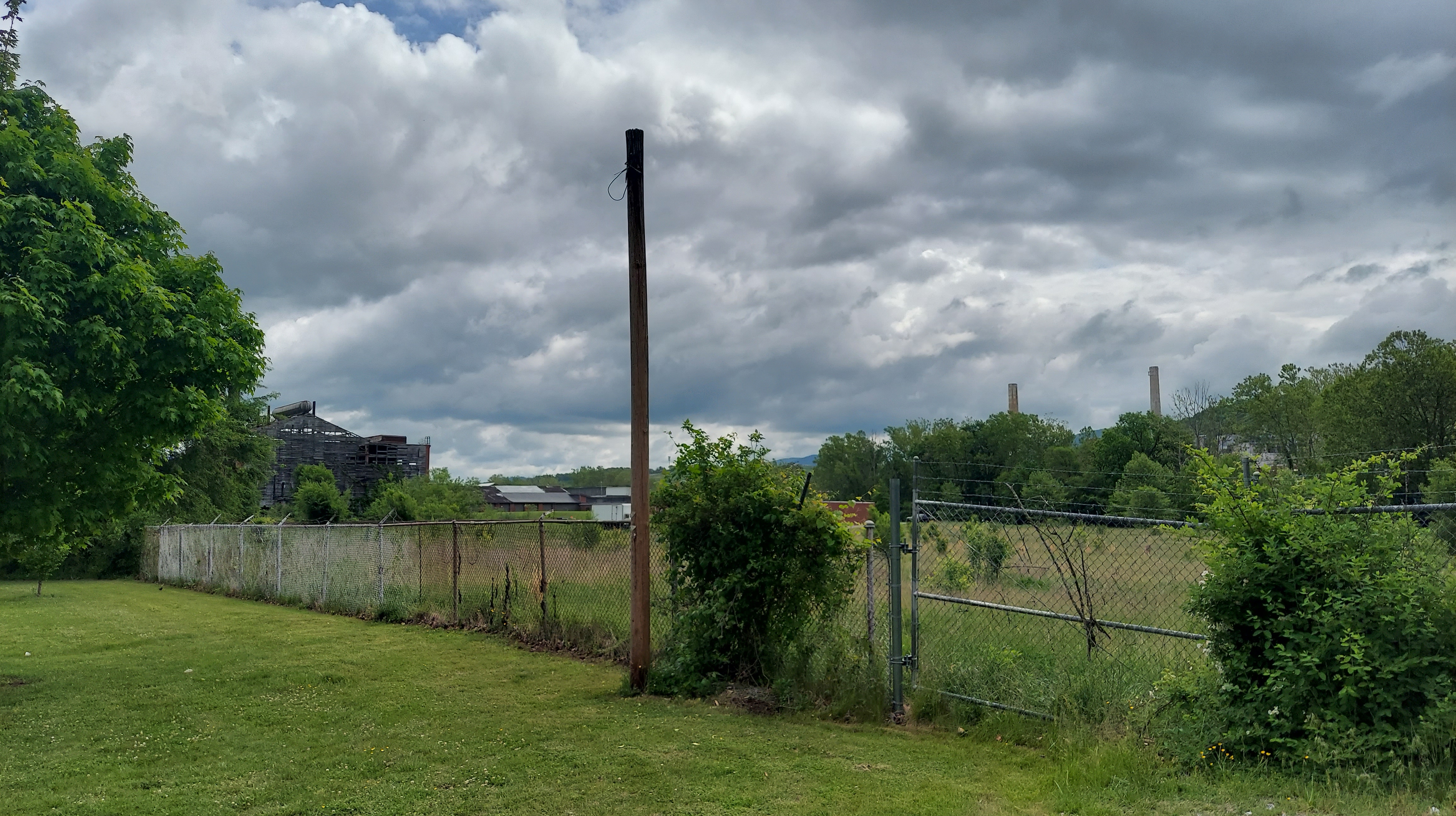
On the west bank next to the greenway is the Crompton-Shenandoah plant, part of which is now a commercial and studio warehouse space called South River Mill. This plant was developed over 1926-1948 and closed in the 1980s, producing chemicals used for dyeing and finishing corduroy and velveteen fabric.


North of Main St, this is what we see.

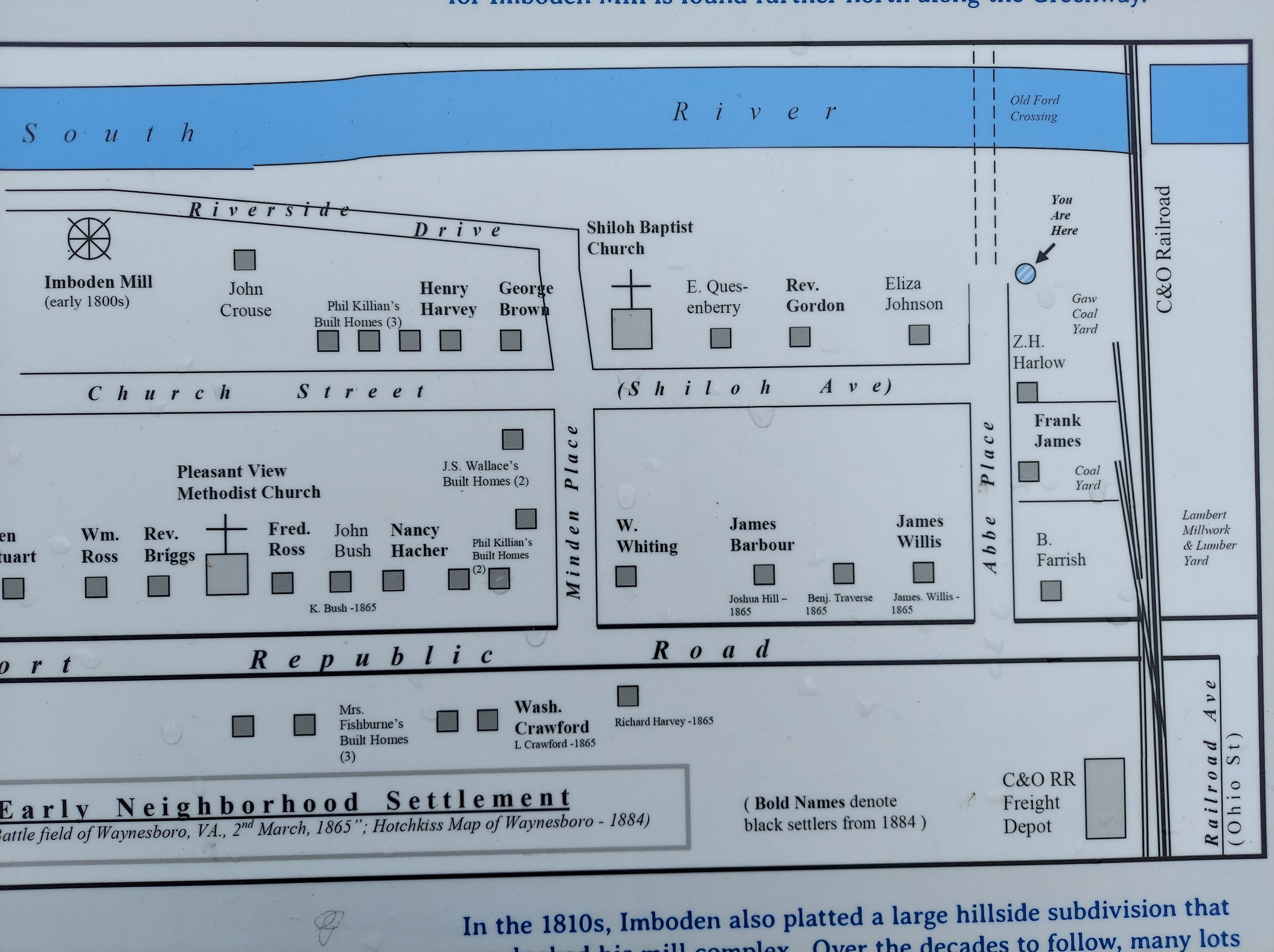
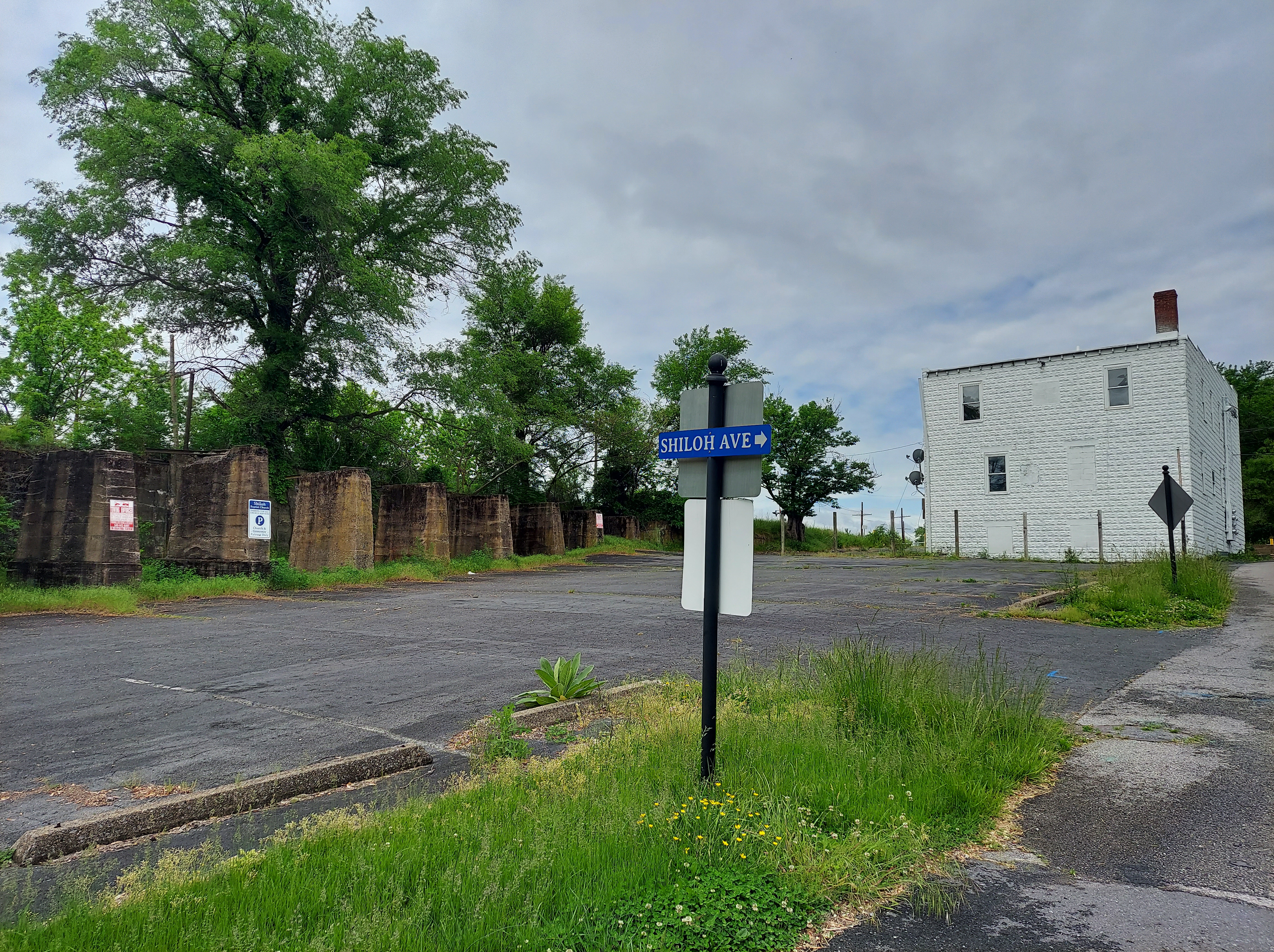
This is the edge of the Port Republic/ Shiloh St historic neighborhood, primarily settled by Black folks after the Civil War. Some of the residents were railroad and coal yard workers, while others were employed in the mills. Shiloh Baptist Church was on the 1895 map above and still is in use.

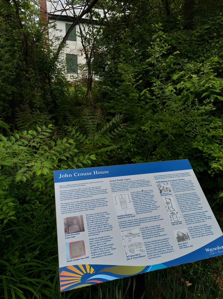
A block or so north of the church is the John Crouse House.


This section is said to be the locations of Hugh Gallagher’s mill and near the older Frederick Imboden’s mill (early 1800’s). I am excited to see mill stone ruins but they are not to be found.
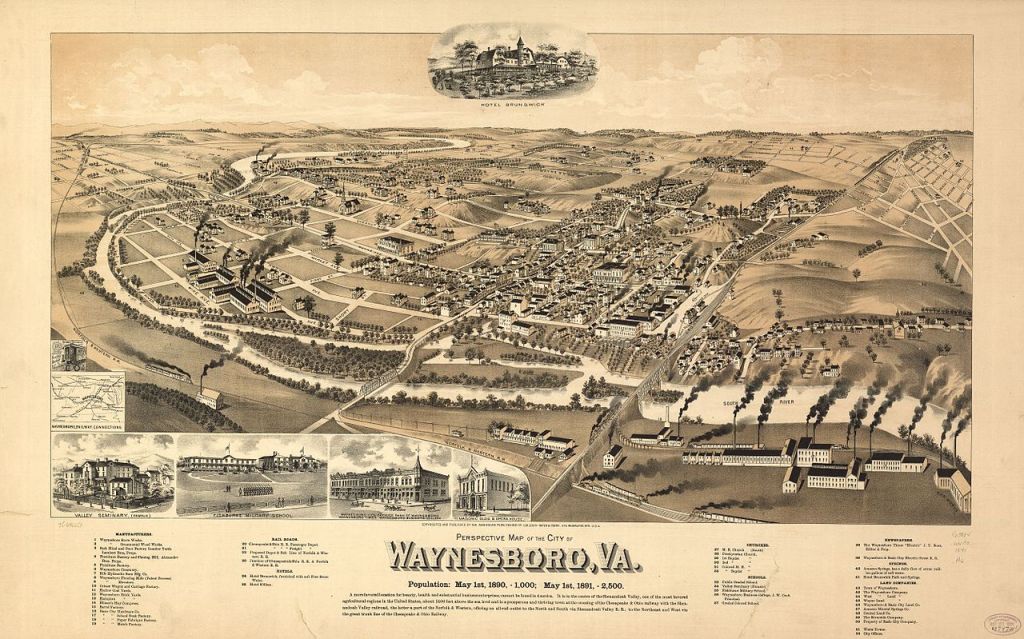
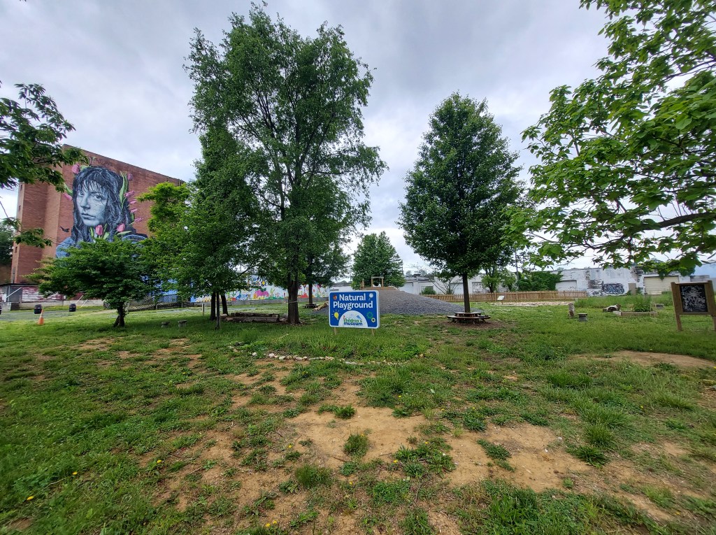
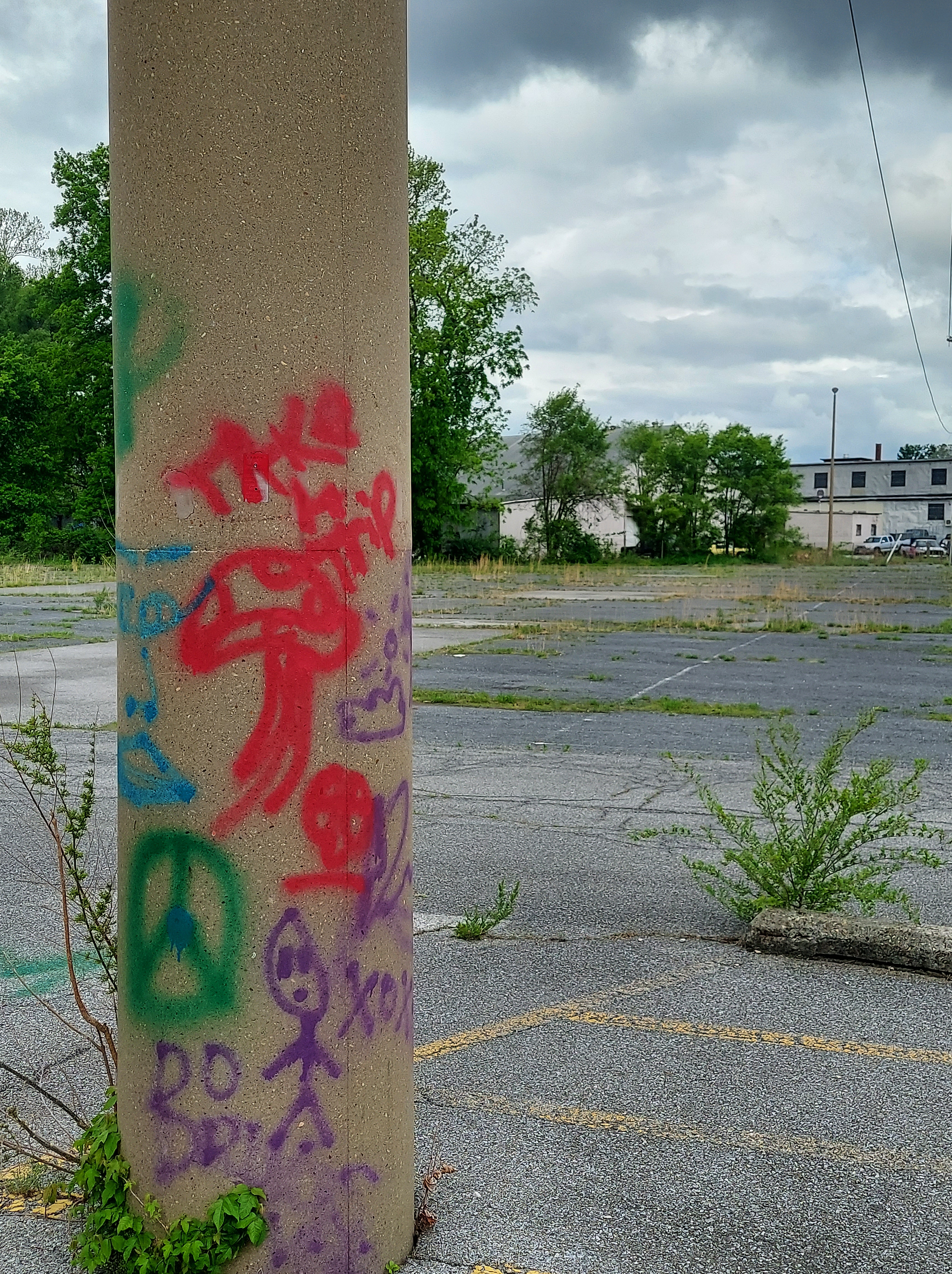
Further north, the greenway continues by the river as it flows downstream. The babbling water is all I hear. Across the river are the remnants of Basic City, which developed as a steel-industry boom town in 1890 where the Chesapeake and Ohio Railroad crossed the Norfolk and Western. In the map near the top of this post, one of the large smoky factories represents this area. This is probably the Basic City Mining and Manufacturing Company, who set up the town. The boom didn’t last, and by 1924, it became part of Waynesboro. This is still considered to be an economically distressed area, with vacant shopfronts and some empty lots. Currently operating here are a large laboratory “testing equipment for the US Government” and another company named “Radium, Inc.” Another large historic employer in this area of town is Virginia Metalcrafters, which operated from 1925-1996, producing hardware materials for Colonial Williamsburg. In its new incarnation, it offers a space for independent crafters and the complex also houses Basic City beer company (which has a Nils Westergard mural on its wall). I didn’t have time to stop here but it’s another interesting old factory and you can find out more on their website.

Beginning in 1979, when Mercury was found in the South River near the DuPont plant (it was used there from 1929-1950 in material processes), there has been a movement to clean up the river and beautify its banks. Thanks to years of its efforts, this little industrial city has a nice green belt with parks, public art, preserved houses, and historical signs. And apparently the trout are thriving here again.
Maybe when our story’s over/
Tom Waits, “All the world is green”
We’ll go where it’s always spring/
The band is playing our song again/
All the world is green
MUSIC PLAYLIST and TOWN VIDEO TOUR LINKS
Tom Waits – All the World is Green https://youtu.be/4GIAawSTisE
Al Green – Take me to the River
https://youtu.be/k-Bjje5f1xM skinny puppy shore lined poison
https://youtu.be/QcD2jY5GYvk Vera Hall – Trouble so hard
Front line assembly virus https://youtu.be/uROAQEODEE8
Symphony of industrial horns (1922)
Read on in Part 3 for a tour of the Russell Museum in Waynesboro, and some musings on departure of the area via Charlottesville and the roads eastward. And please support my work if you can.
