Roanoke, Virginia was initially called Big Lick, when it became a settler community in the 1800s, from the salt marshes by the river that would attract wildlife. The Warrior’s Path, and then the Great Wagon Road, came through this valley, forking here toward the south and west, serving as foundations for future transportation corridors like I-81 and the Virginian Railway.
After the railroads were built and developed (1870s-1880s) connecting the coal fields from Pocahontas/ further western Virginia to the ports at Hampton Roads, the city and county changed its name to “Roanoke” (shell money- an Algonquin word the coastal people referred to the same river at the Outer Banks, with an abundance of shells). The metro area grew fast, including the neighbor city of Salem, and became the most densely populated area of Appalachian Virginia.
I’m here for the “roanoke” as I rise with the sun for my promo gig, which while being outdoors and fun, is fairly exhausting in the June humidity. But after it’s over, I want to Explore…and revel in the nature surrounding the city.
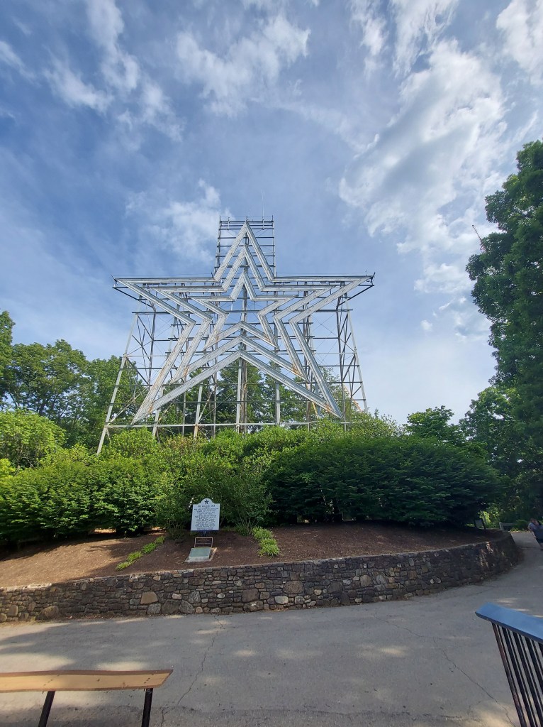
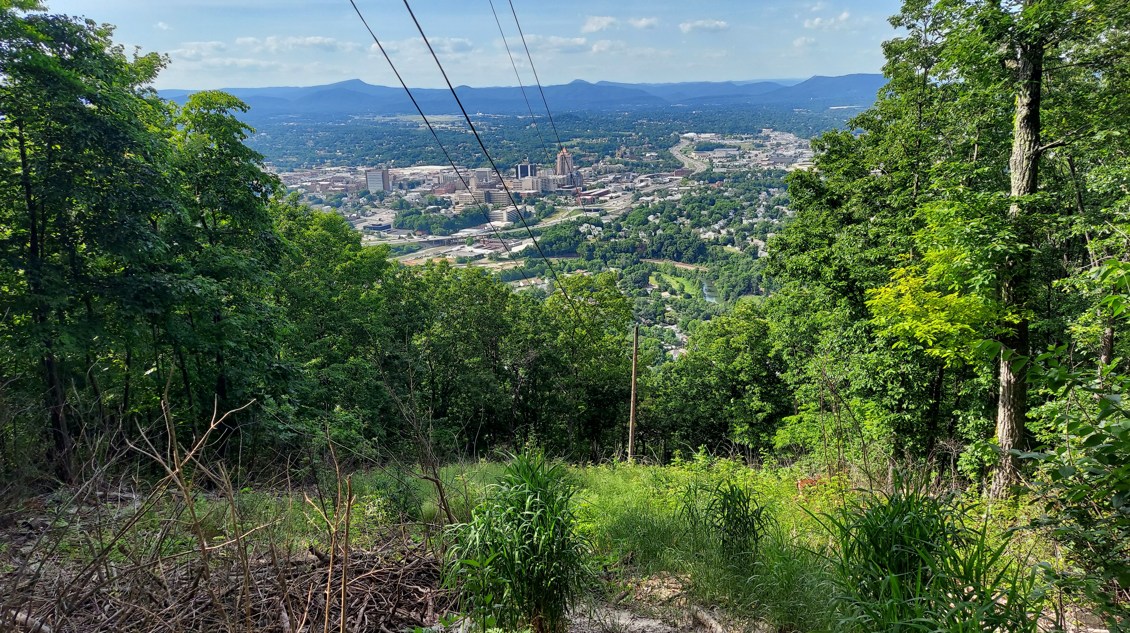
Mill Mountain/ Star: the city’s most well-known attraction. Immediately south of downtown, this edge of the Blue Ridge overlooks the valley. The earth’s largest human made star lights up after dark (appropriately) but I don’t stay late enough to see that. I do see a friendly deer by the star I walk around a short trail. The summit of Mill Mountain can be reached by car, bike or by foot trail, and it’s free to visit. I’m sure sunsets are amazing here. By late afternoon, plenty of people are arriving and the parking lot is filling up, so I leave by way of the Blue Ridge parkway, which passes near here and is easily accessible.

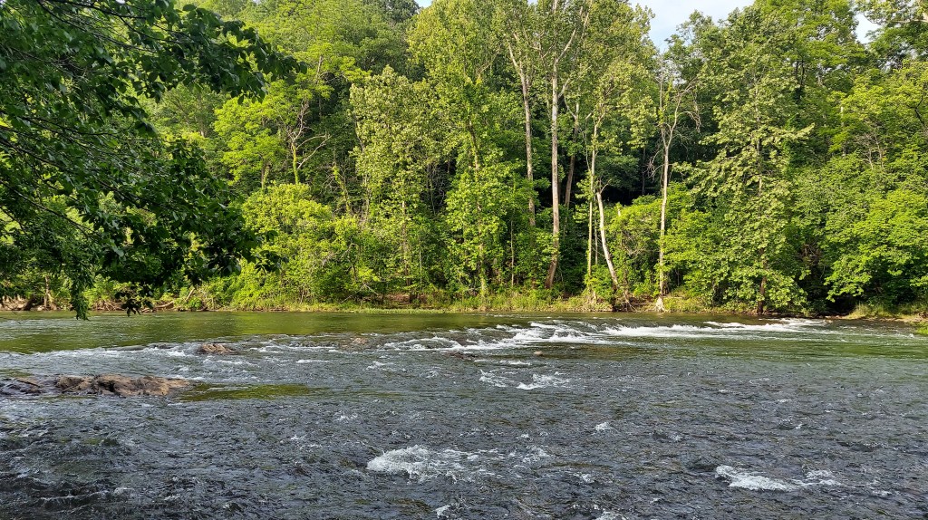
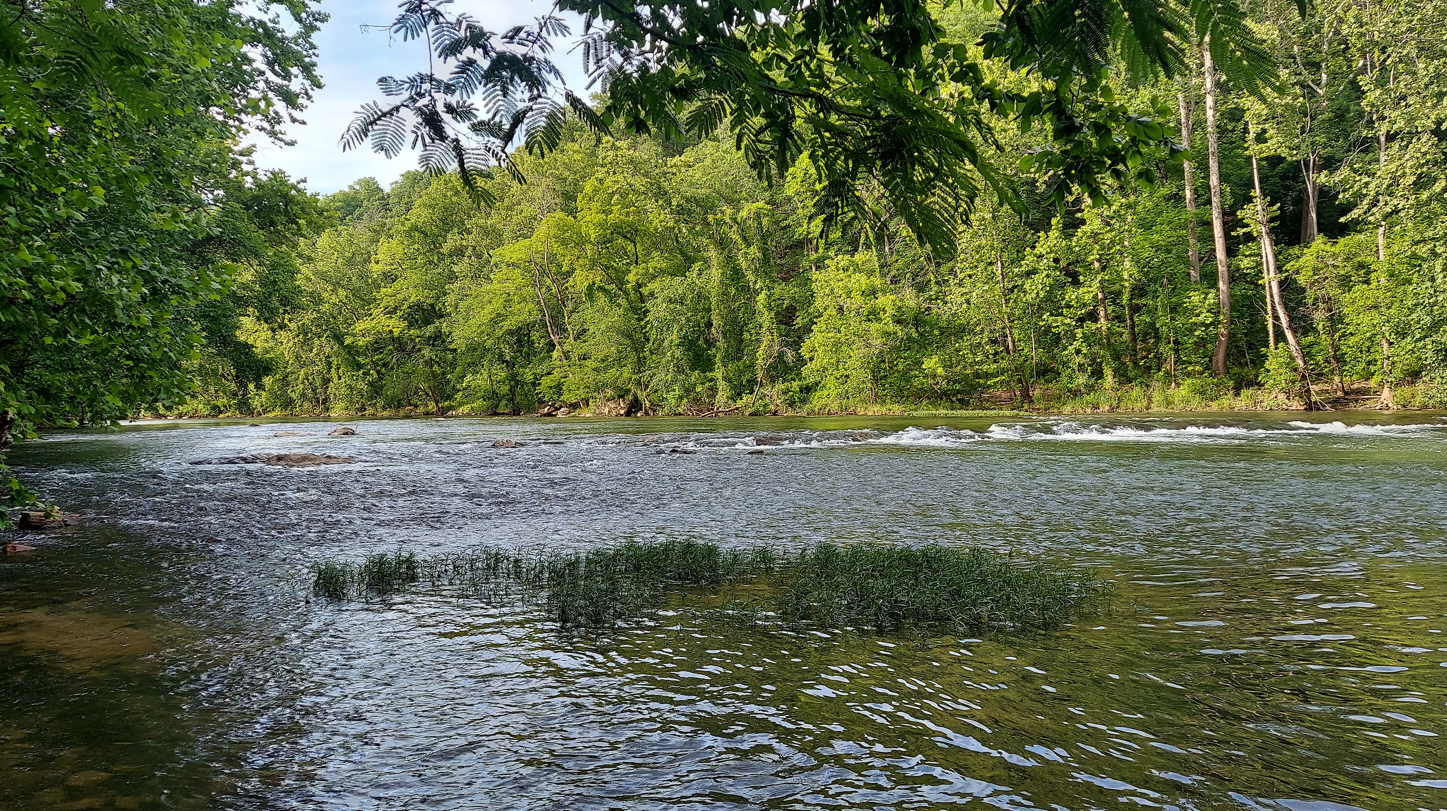
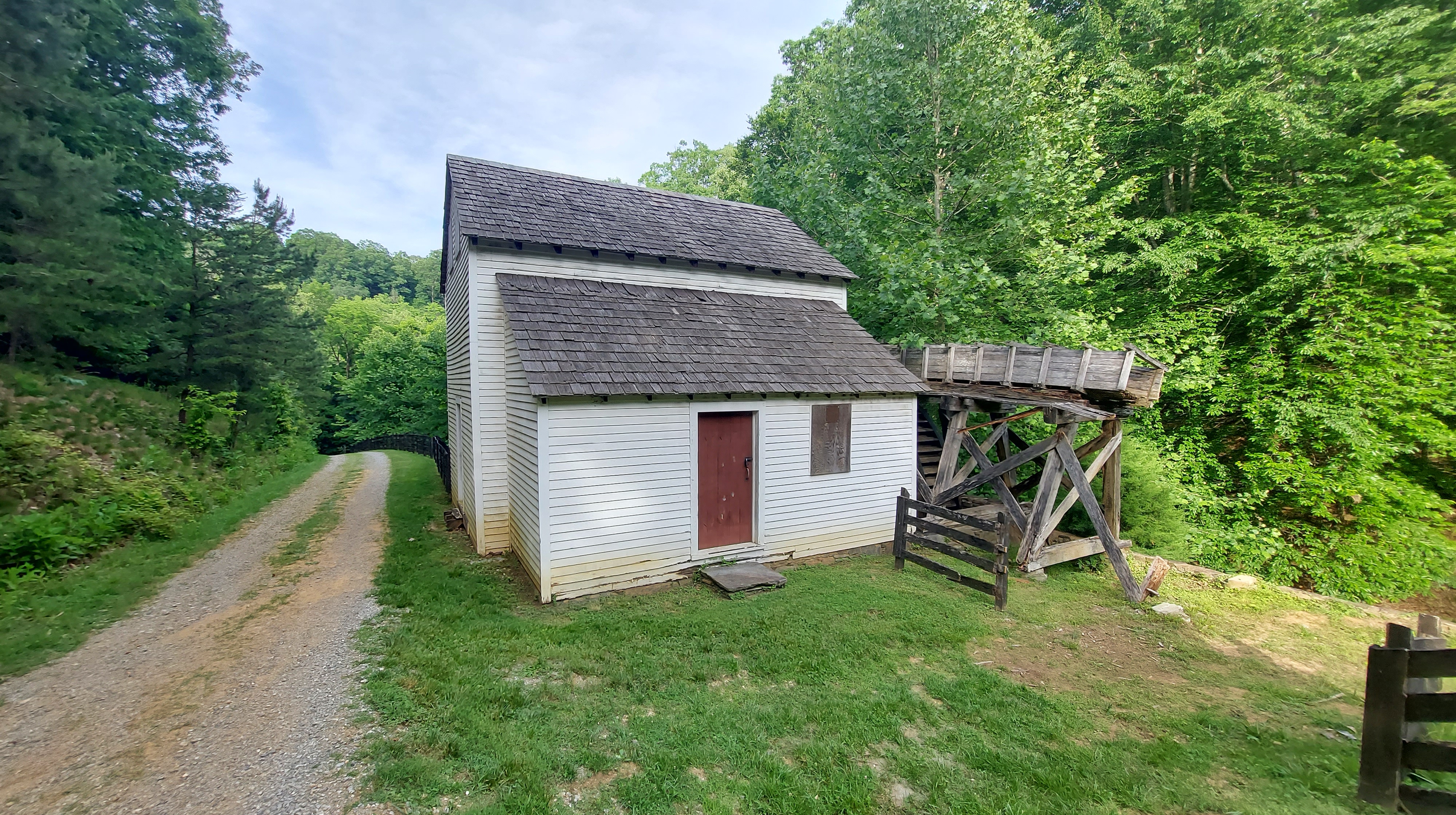
A few miles north on the Parkway is Explore Park, a Roanoke County park bordering the Roanoke River as it exits the valley into a shallow gorge. The river is wider and faster here, with many campsites, some yurts and canvas tents, an educational area for youths, a few historical buildings, and a brewpub. I hike around, along the river for a time and then leave, driving onward.
The Parkway bridge over the Roanoke River is closed for repairs…so travelers must reverse course and descend through the city for points north. At this point, I wonder if I’ll get to see any blooming Rhododendron.
IN THE PINES
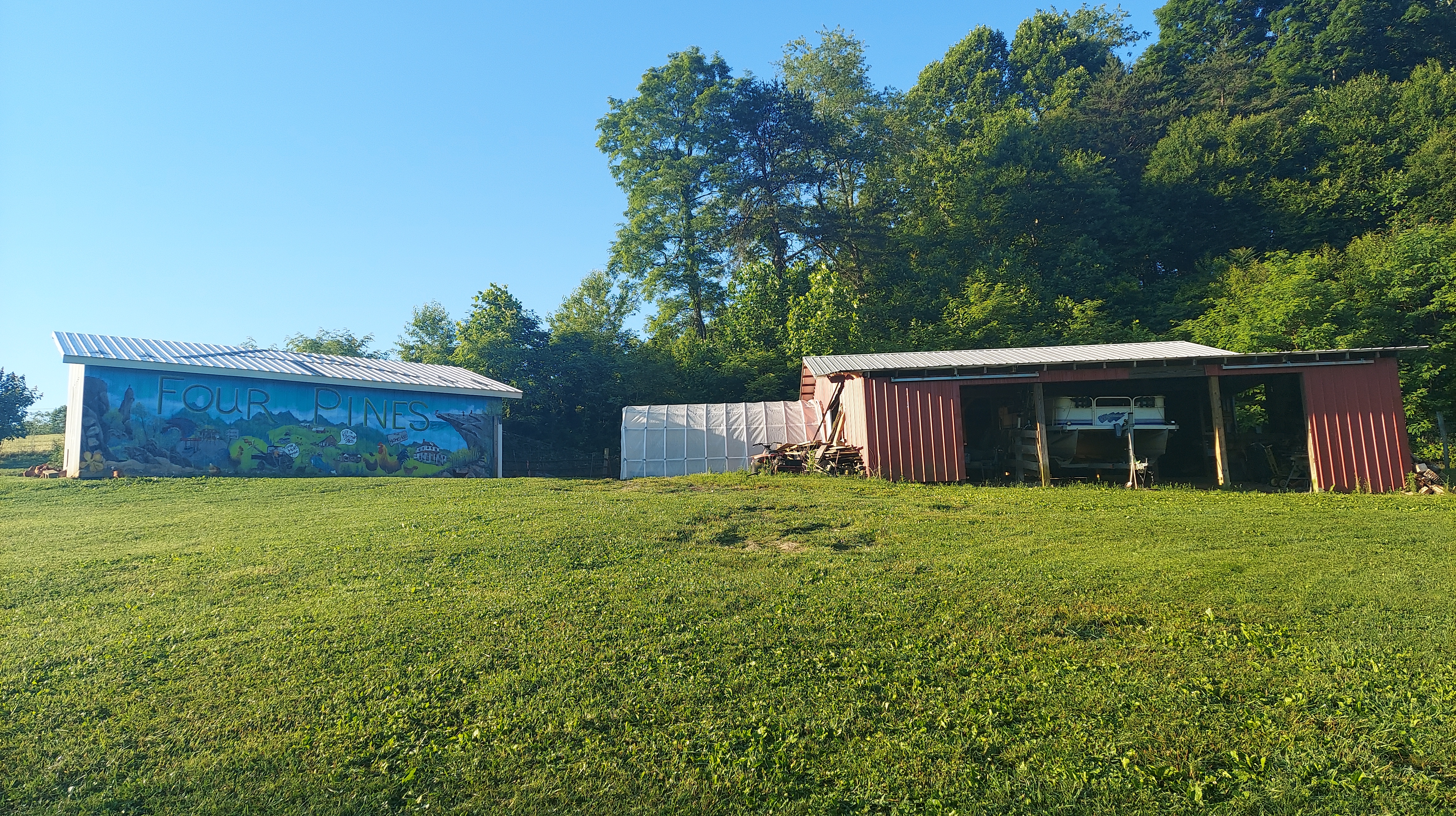
A favorite place north of Roanoke, Four Pines Hostel is a hillside farm and homestead with a donation-based hostel/camping area for Appalachian Trail hikers. I stayed here in 2018 for 2-3 weeks – including work-trade as a shuttle driver- and had great memories and wrote multiple songs. With nightly bonfires, friendly animals (including the humans), and large grassy spaces for solitude, the place feels like a home.

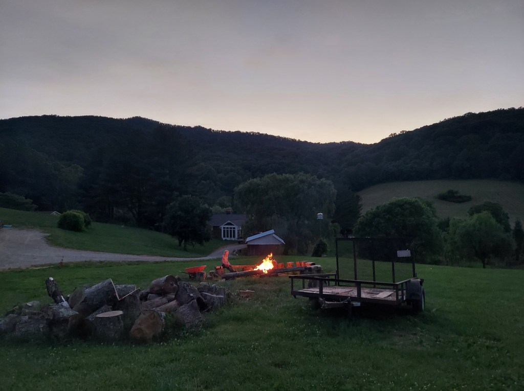
At this time of year, the hostel is busy with AT thru-hikers. The main area, a converted garage with bunk beds, couches, outlets, a kitchen, and bathroom with shower, is full (understandably), and there are also some tents set up around the flat spots on the grassy hillside, so I put my bedding where I stayed in 2018: the upper storage barn. There are two cots, but I am the only one in here. Overnight, the grass becomes wet with dew and the roosters crow before the sun.
There is a banjo player staying at the hostel the same nights I’m there, and I listen to him play and sing his travel stories (remembering one about a girl in Santa Fe), then I play a few of my songs on guitar, including “Crossroads Lady” which was written here as well as Fancy Gap.
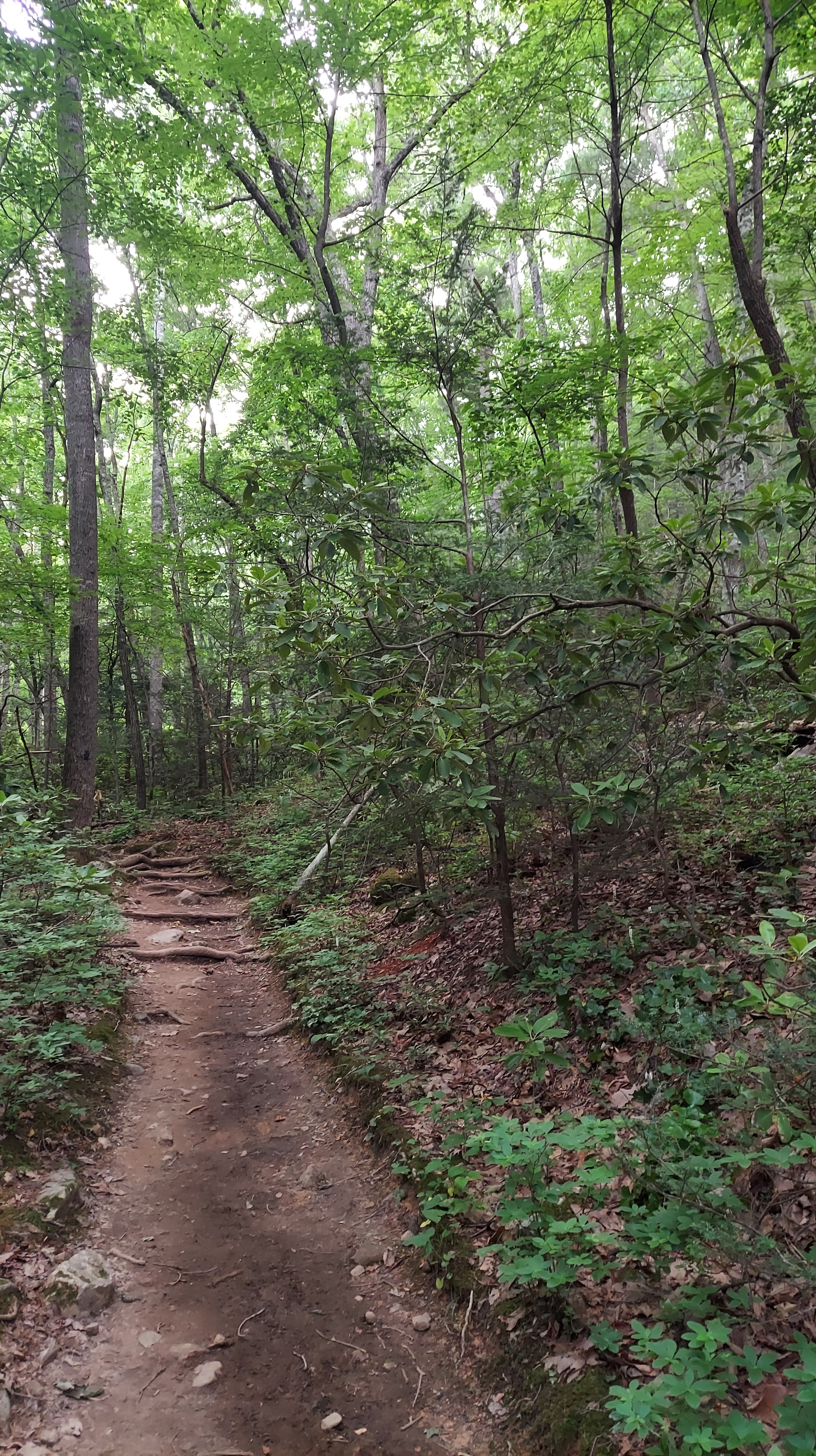
Back in 2018, I hiked from here up to the Dragon’s Tooth, which is just north of the hostel. It’s a steep 2.7 miles to the quartzite Tooth rock (about 4.5 miles total) and views are worth the climb. Along with nearby McAfee Knob and Tinker Cliffs (which I have not visited) this is considered part of the Virginia AT “Triple Crown.” Apparently, I saw some flowering rhododendron on the trail around then, too, from a photo I found on my computer.
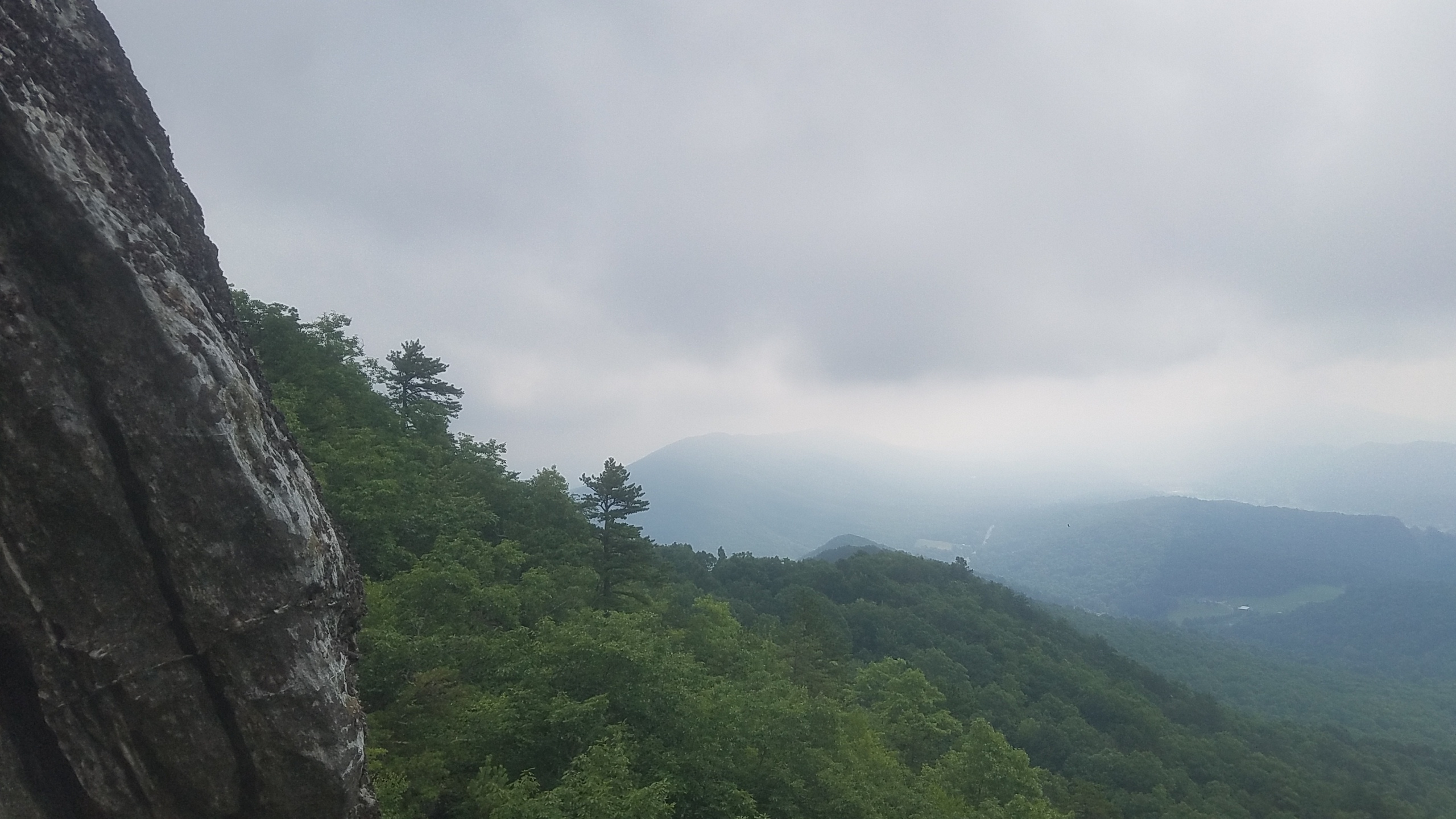

A short revisit to the Dragon’s Tooth trail takes me up the cove from the parking lot maybe .7 mile, following the gurgling stream. It is a lovely, meditative walk and I find more Rhododendron, but none in bloom.

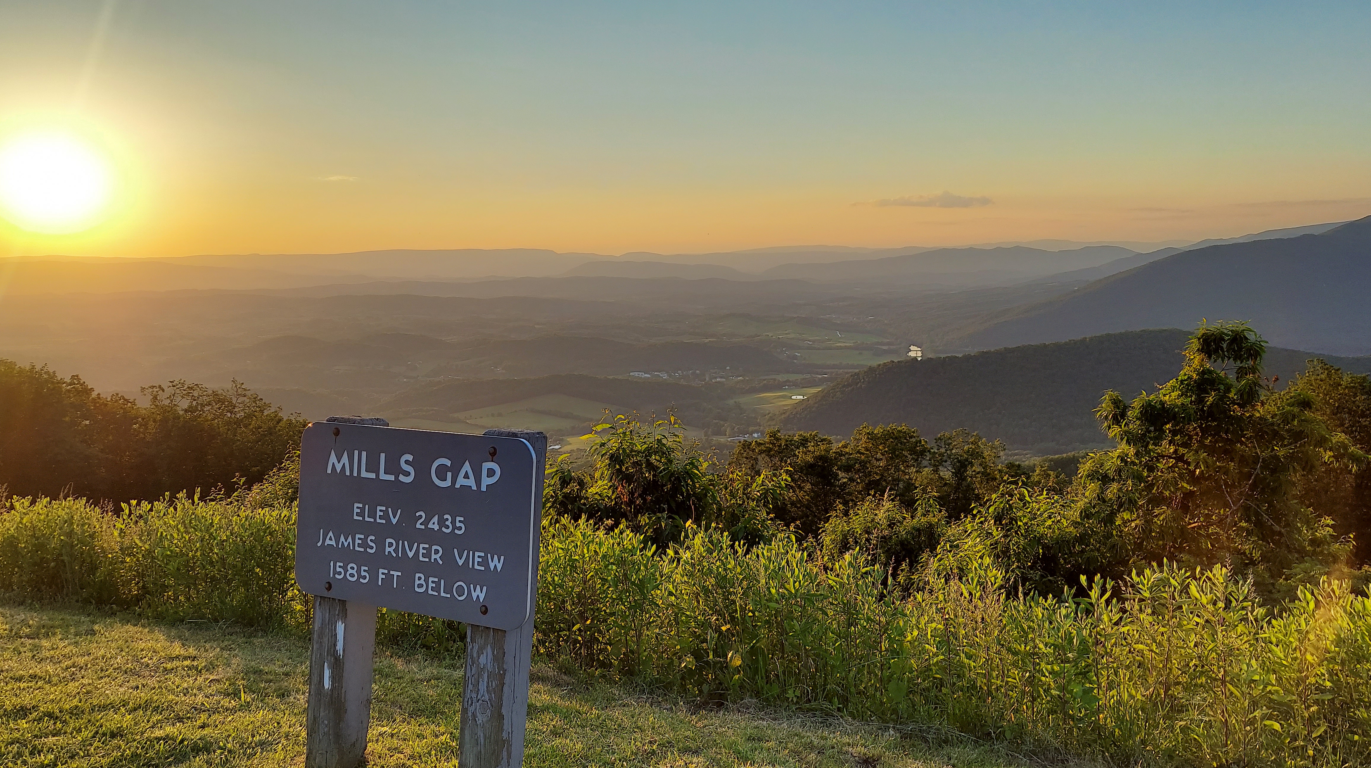
Where next? Sunday morning, I’m up at sunrise and out, to Roanoke, for the last, longest day of work at the festival. It’s exhausting, but worth it for the “roanoke” (the money and the scenic city) and I know I’ll come back. Only at the hour before sundown, after the event and on the way back toward home in Norfolk, is there a chance for a side trip on the Parkway to find the purple flowers. Peaks of Otter, where three mountains on a water divide form a high valley, is the place.
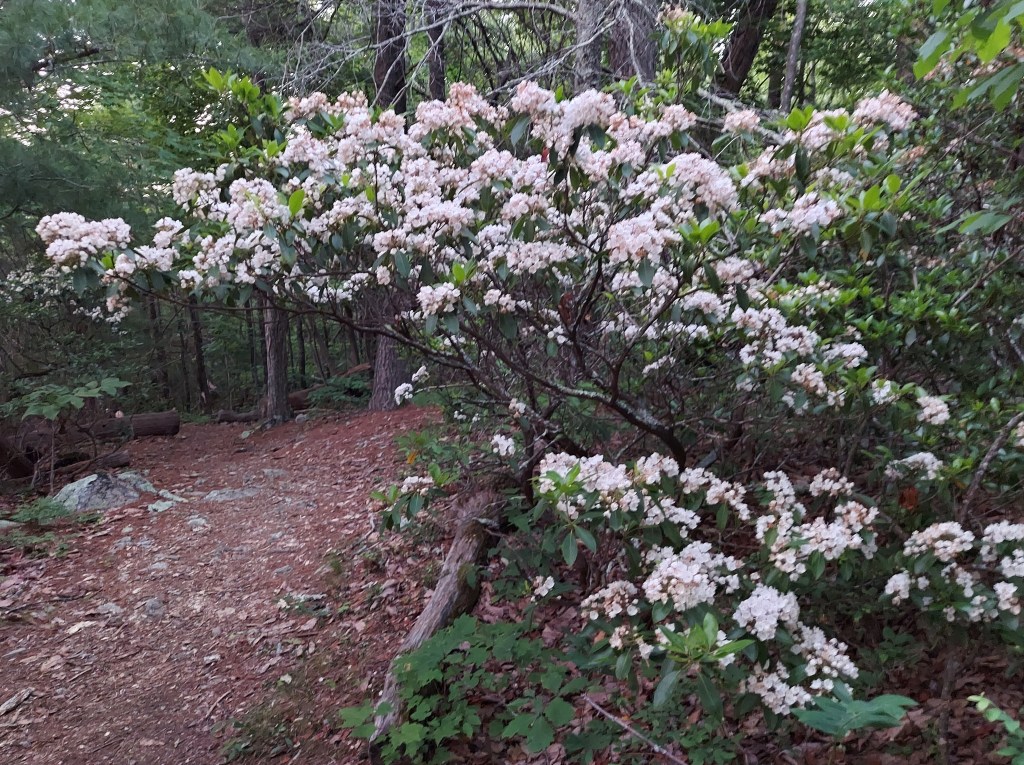
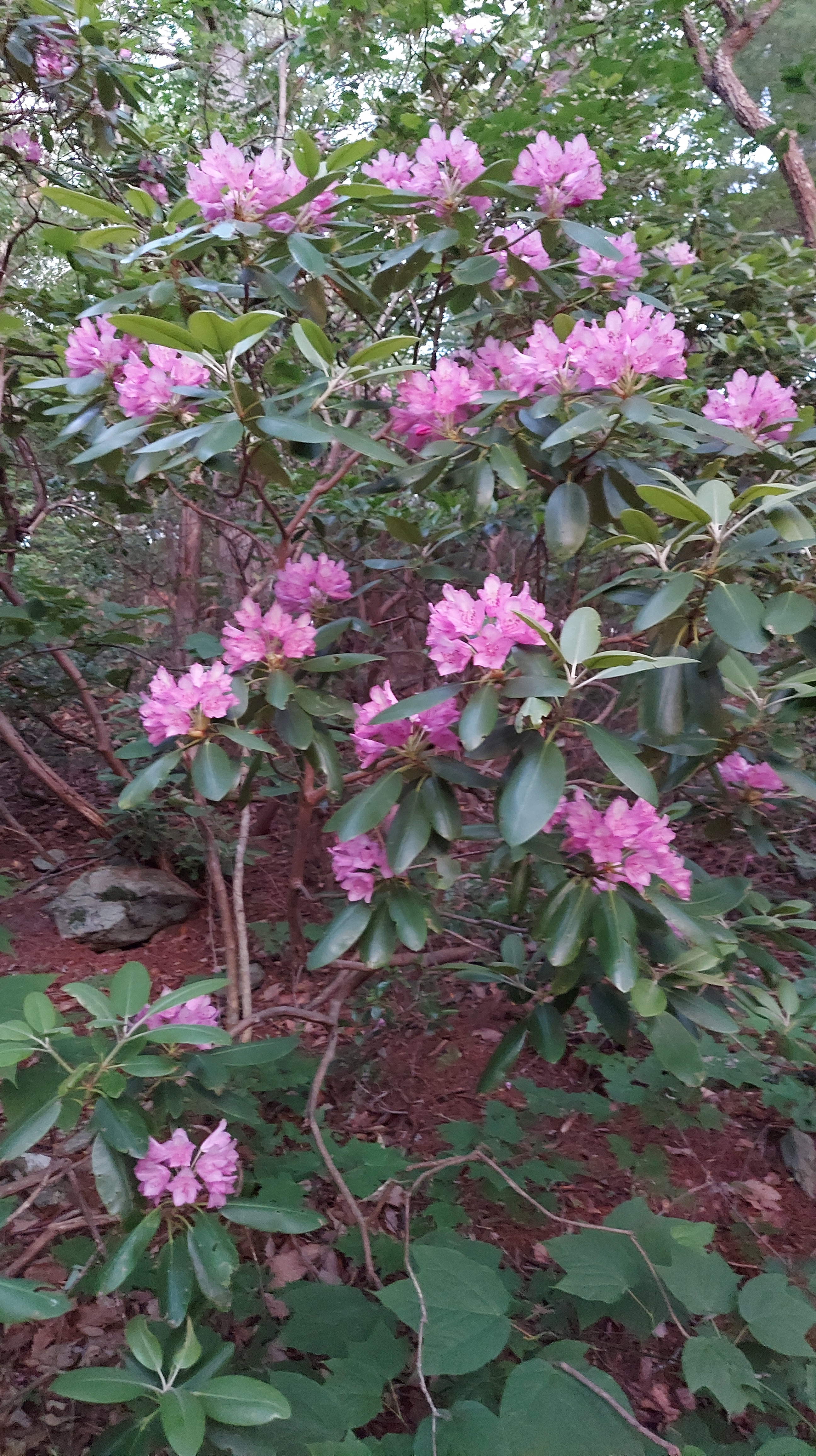
Though views are gorgeous, twilight comes quickly here, and there is enough time for one short hike. Fallingwater trail, toward the west, is easily accessible and the white blooms of mountain Laurel charm me from the first bend. But the sound of rushing water from the hollow below beckons me to walk further, and soon begins the awesome pink-purple array of flowering Rhododendron Catawbiense… the ecstasy of Appalachia in June.


from here, it’s darkness and downhill, those moments with rocks and stars and temporary concerts by local star flower power. By the time I write this, these blooms will be fading, and the attention is on larger arrays at the higher balds in North Carolina – Craggy Gardens, Roan Mountain.
The Piedmont roads are quiet and shadowy, with roadside signs offering Civil War relics and state troopers parked under shade trees. Remembering the moments of ecstasy on the ridge, I don’t stop until I reach the tidewater.
https://foundobjectsofdesire.bandcamp.com/track/mist-and-gone
..the air smells like spring again as it turns into summer…
Arianna, “mist and gone”, recorded at Four Pines
Four Pines Hostel – 6164 Newport Road, Catawba, VA 24070

One thought on “The Quest for Blooming Rhododendron near Roanoke, part 2: Stars, returns, and moments of esctasy”