June 2022
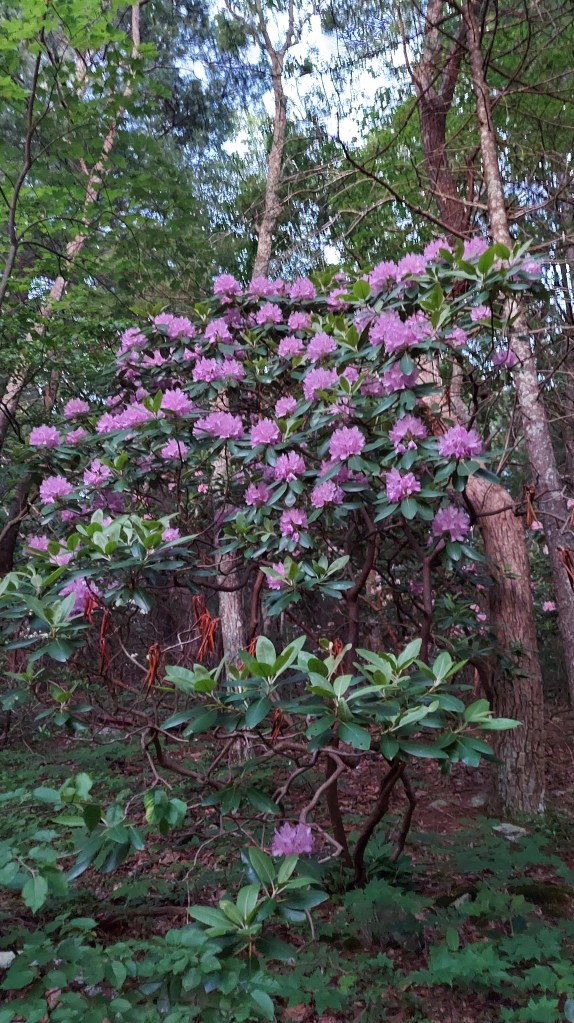
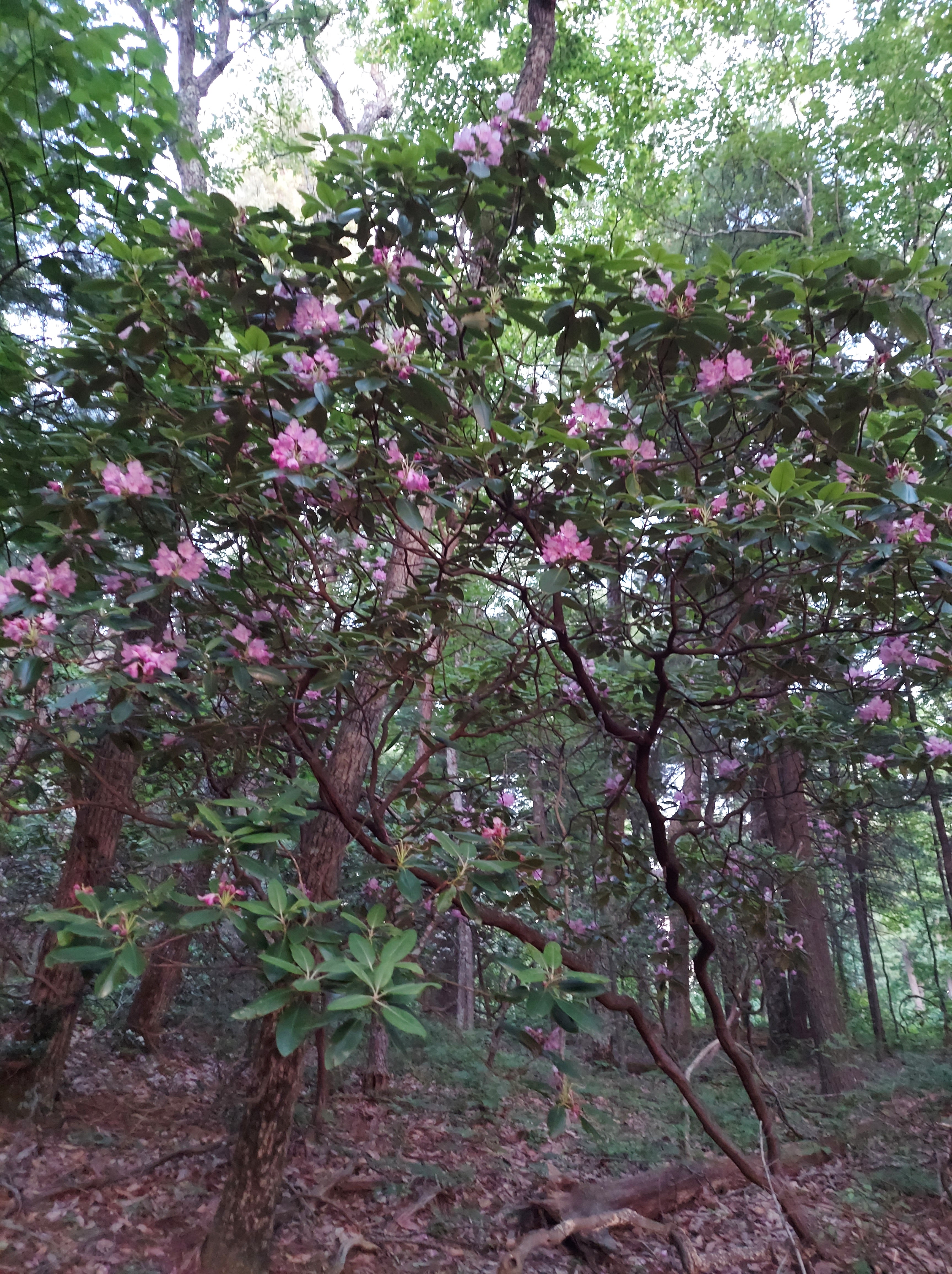
Rhododendron catawbiense are the purplish flowering of these soul-comforting mountain shrubs and are euphoria to witness in bloom. There are several sub species of Rhododendron, this one widespread throughout the region but only in bloom for a short time…sometimes as short as two weeks in certain areas. Generally, this happens in Southern Appalachia between late May and late June. Fancy Gap has Rhododendron, but my family has missed the window for the bloom, and we want to change that, maybe starting next year. I hear it’s amazing. But this year again already I am busy with life in late May/early June so I pick up an event gig in Roanoke which is close to another bloom area, as I have read.
They prefer a higher elevation than in the great valleys of Virginia, but even the Blue Ridge Parkway doesn’t go high enough to reach them in the mountain areas.
The parkway is still fun and lovely after all these years. Also sometimes it’s the most direct way to travel.
TAKING THE PARKWAY TO ROANOKE
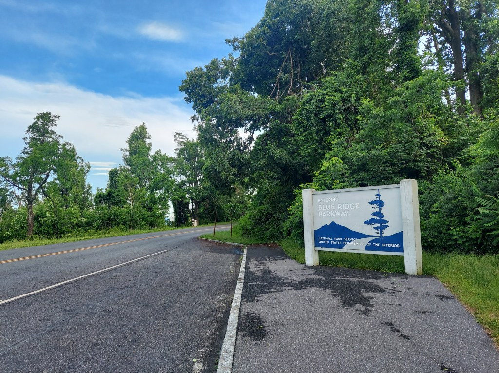
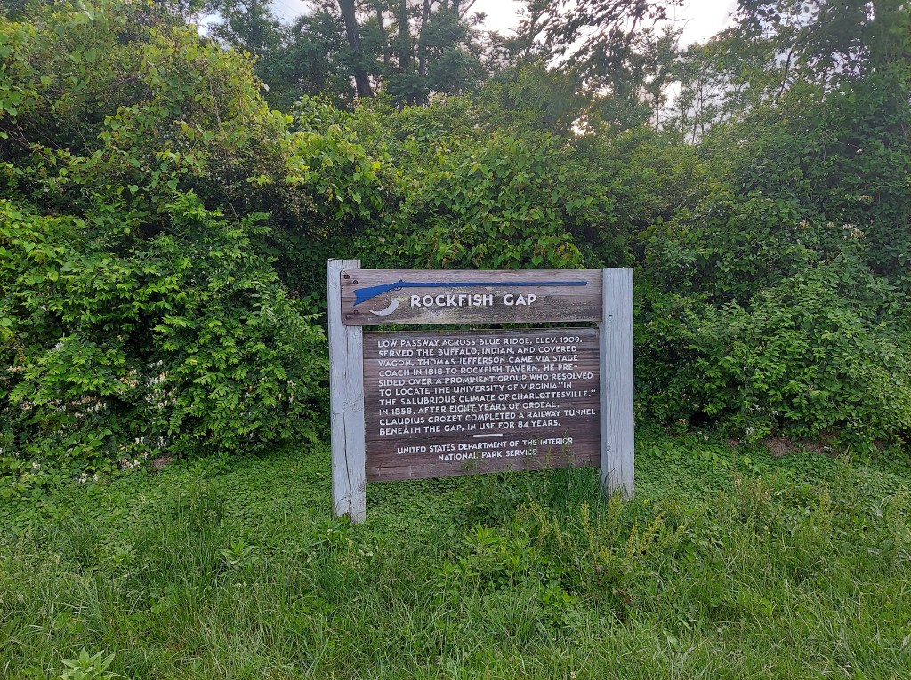
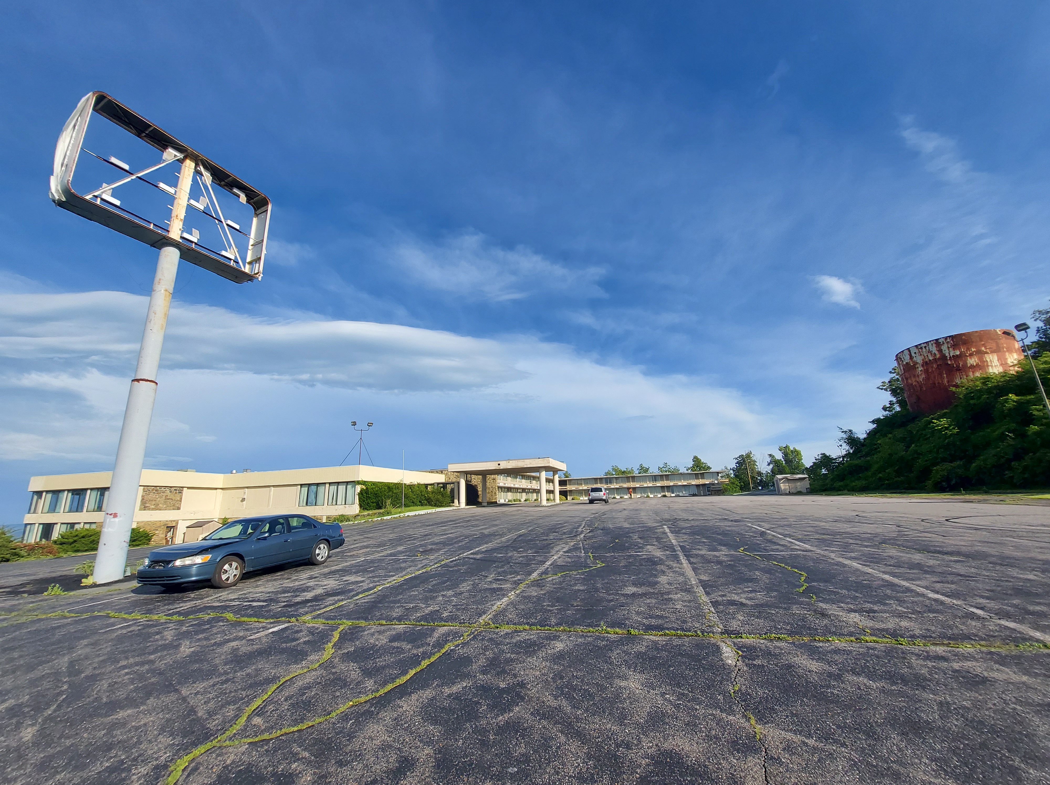
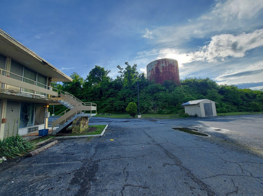
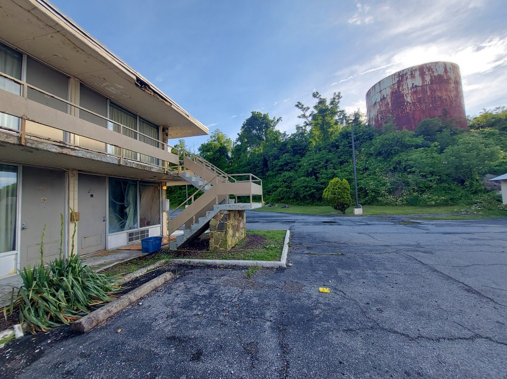
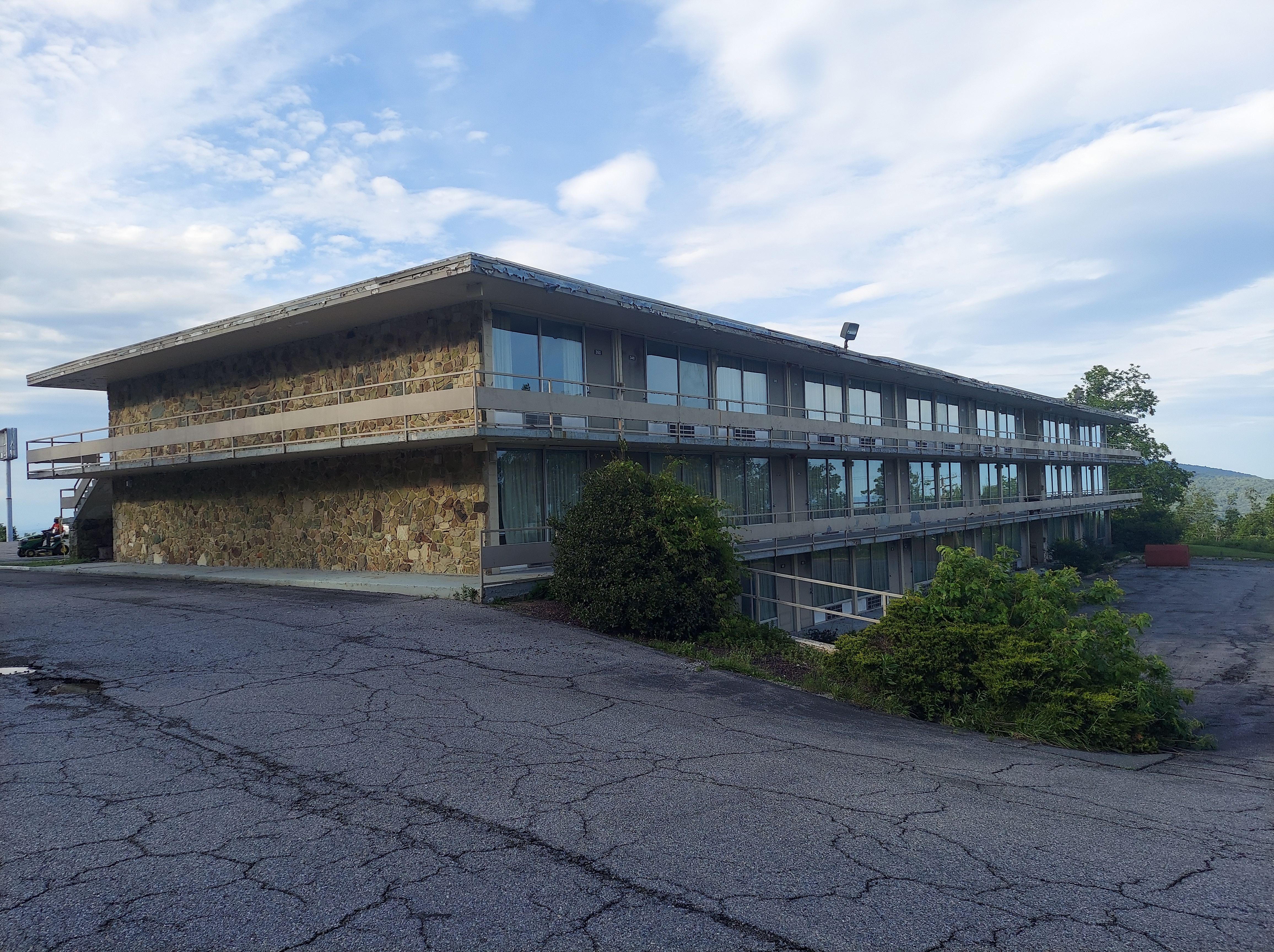
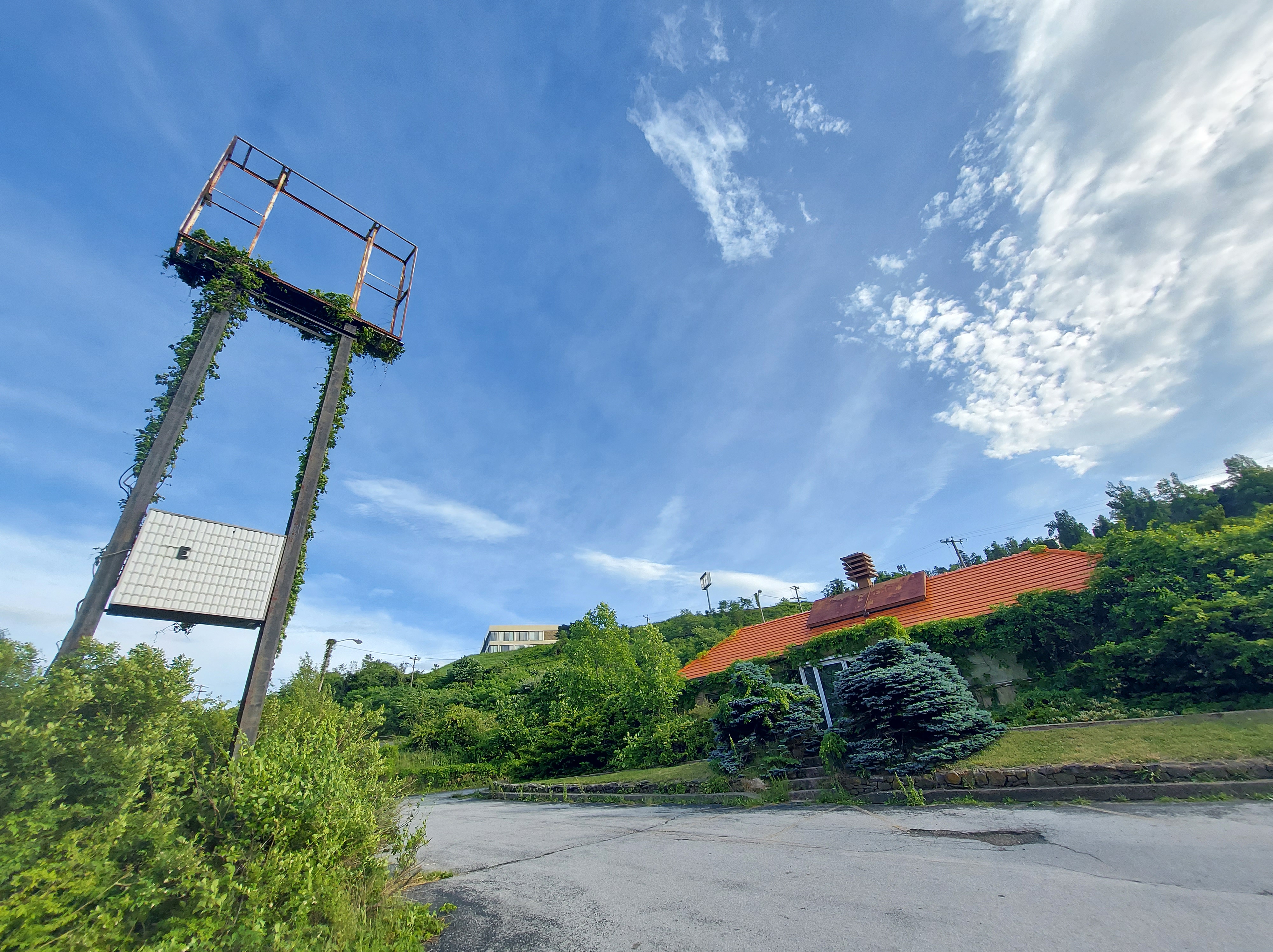
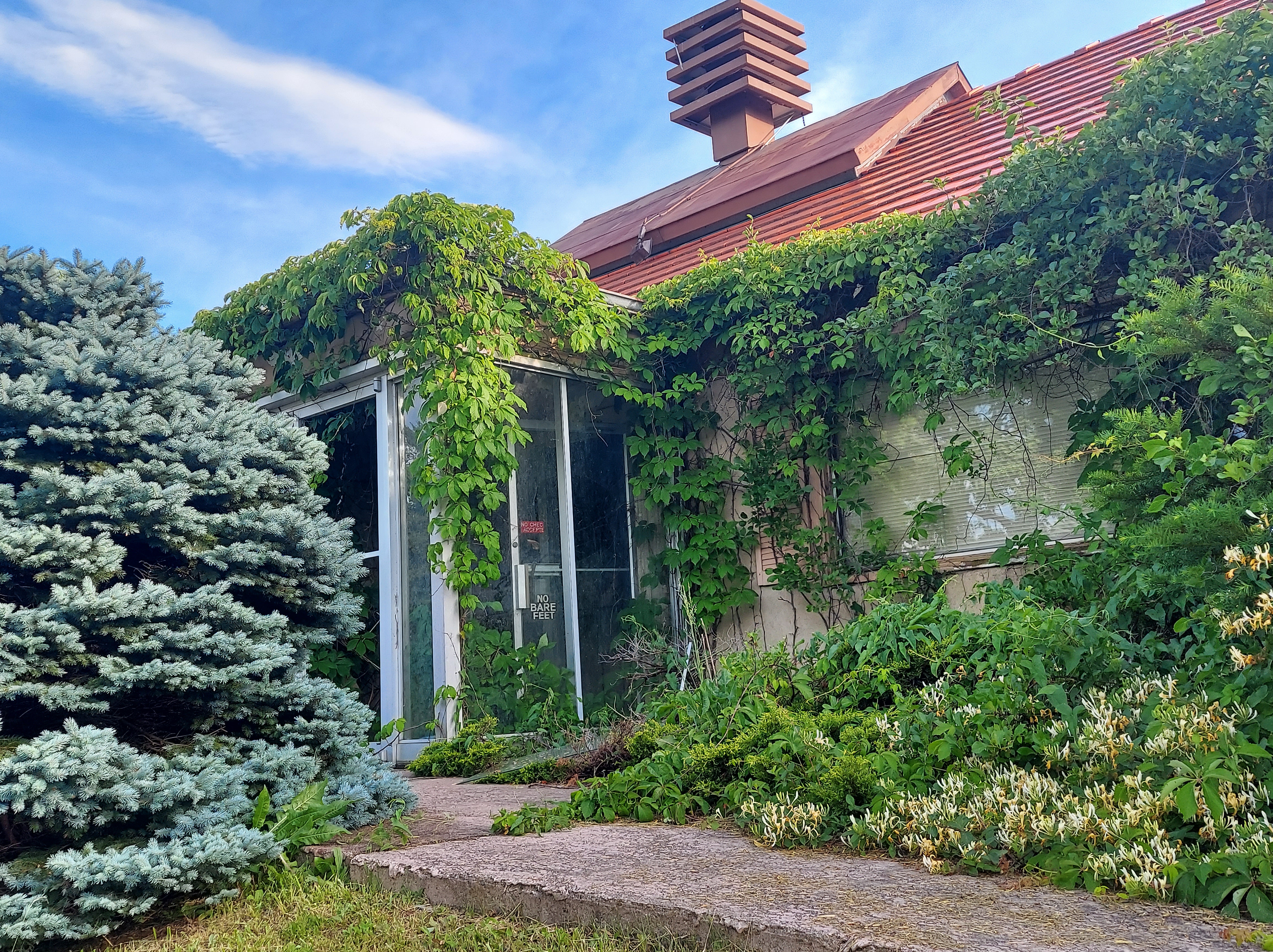
The Blue Ridge Parkway’s North end is at Rockfish Gap, where interstate 64 crosses the ridge. At 1909 feet above sea level and relative proximity to bigger cities, it’s had a busy history that I can not describe decently in this post. There were some hotels and restaurants here in the later 20th century, all of which have closed. The Inn at Afton/Holiday Inn building still stands, abandoned in a large parking lot overlook with fabulous views.
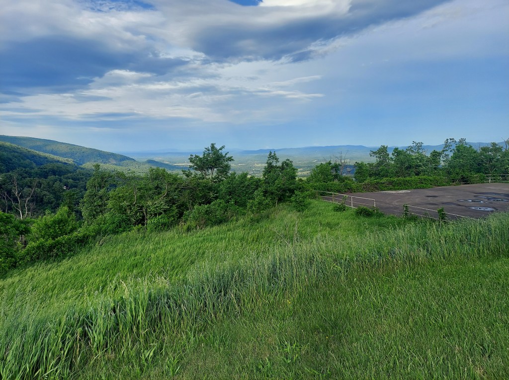
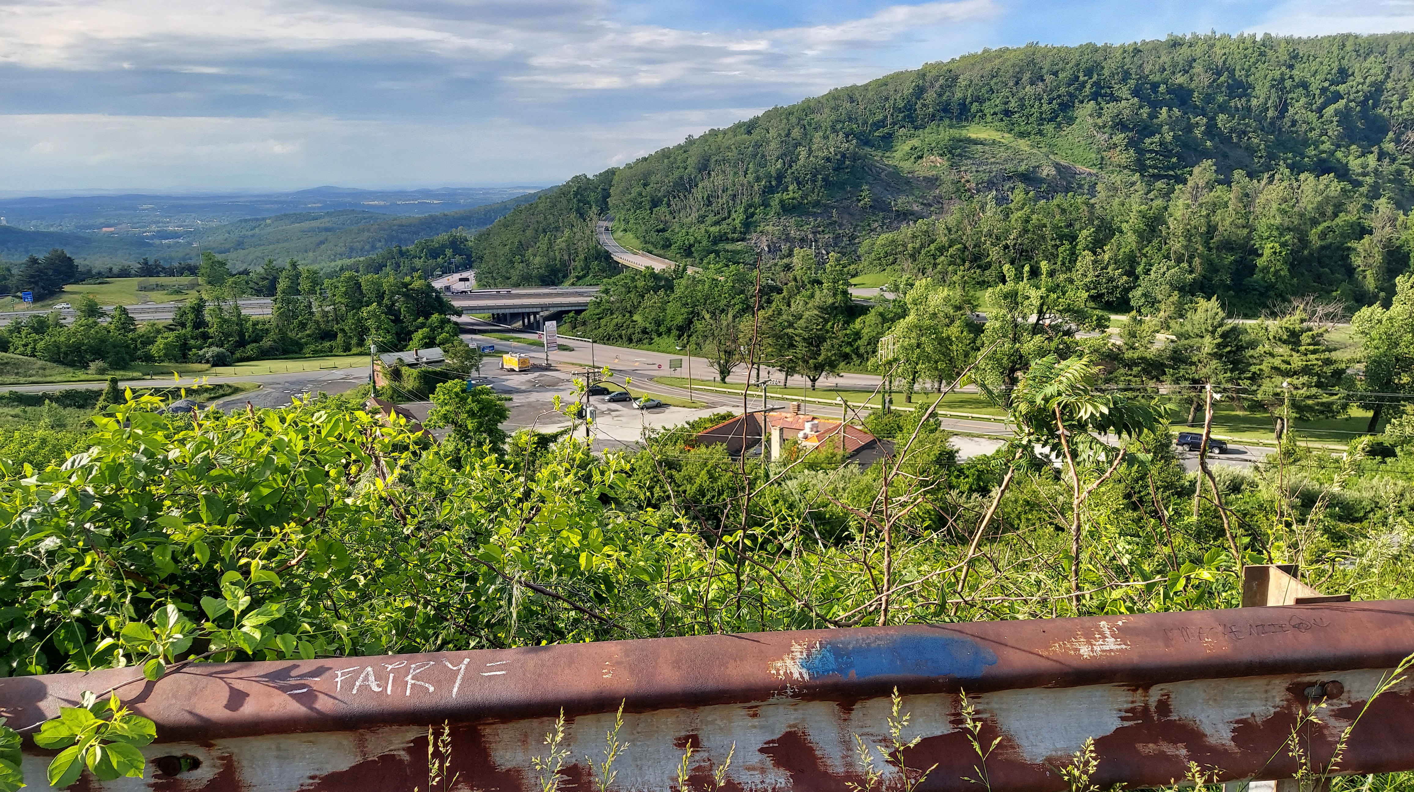
There was an intense rain storm on my way uphill on I64, but it had stopped by the time I reached Charlottesville, just east of the Gap. Epic clouds still filled the sky on either side of the ridge, and a cool breeze gave respite from the humid heat of the tidewater plain.
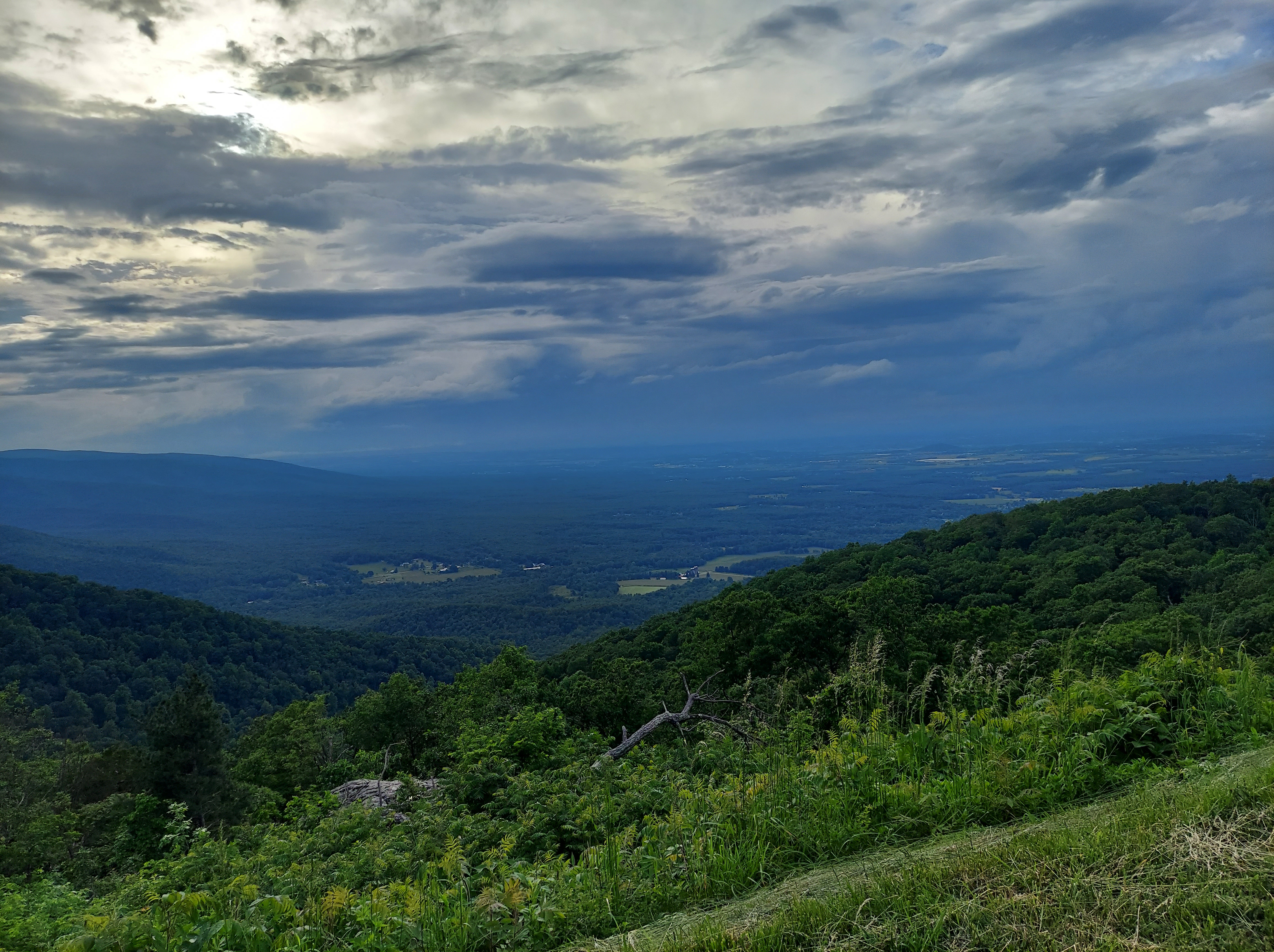
Lisa Bella Donna‘s Appalachian synthesizers buzz through my stereo as my car rounds curves and passes grand overlooks, heading south.
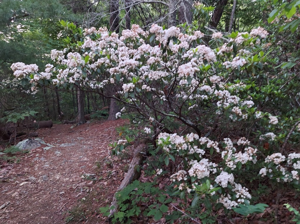
Mountains are steep, valleys are Deep, and thick, dark second-growth forests cover the ridge. Rhododendron Catawbiense, unfortunately, is not among the variety of trees I found along this section of road.
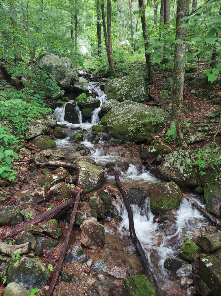
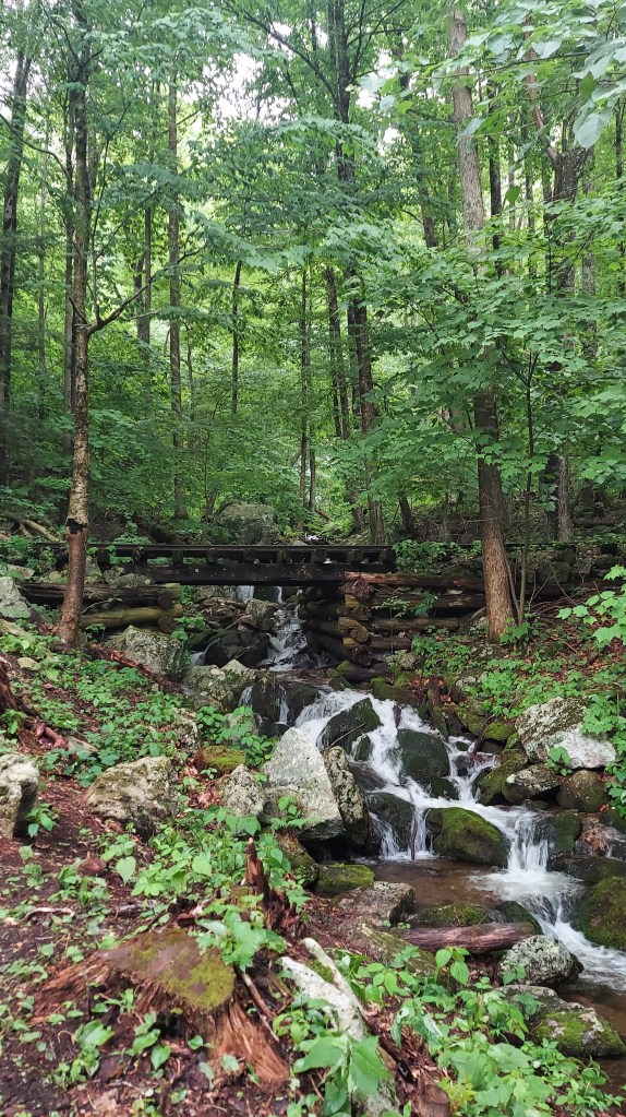
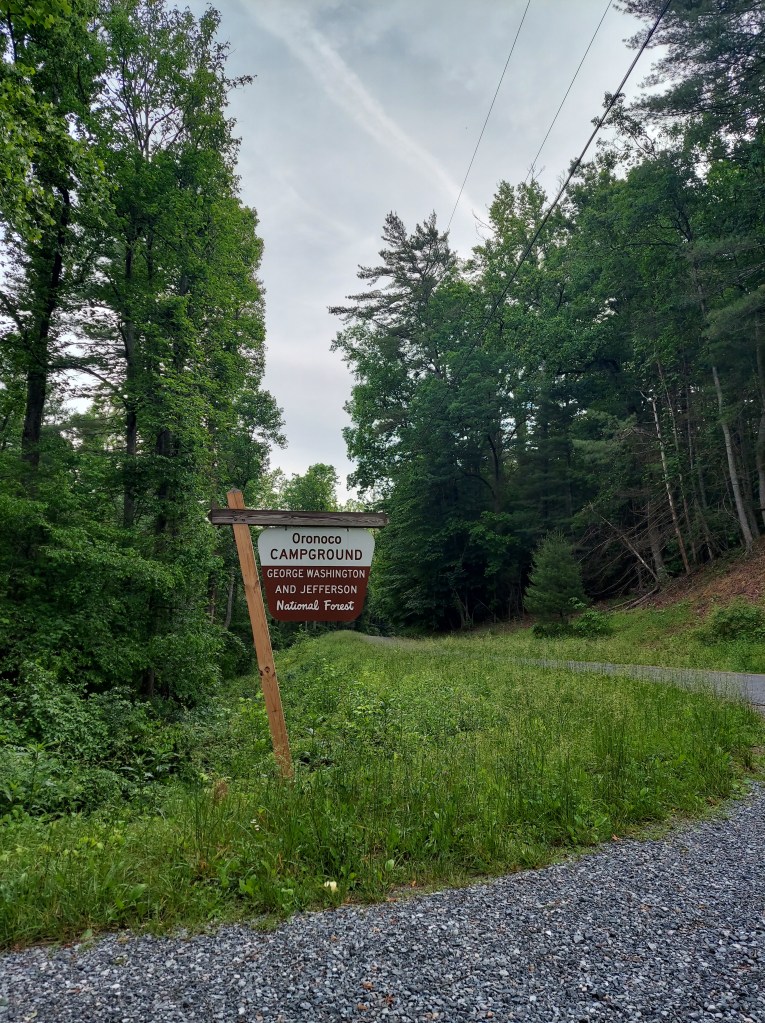
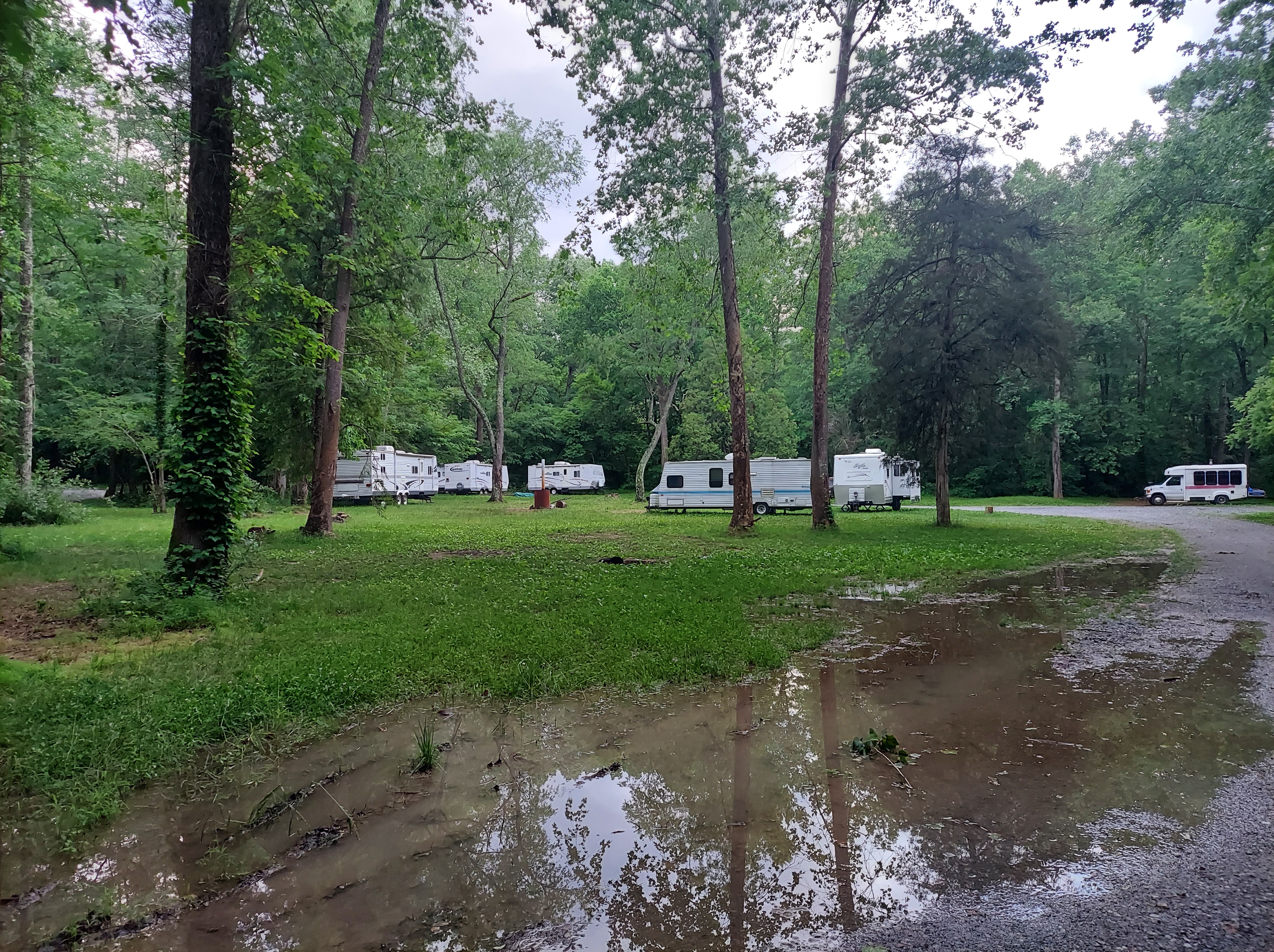
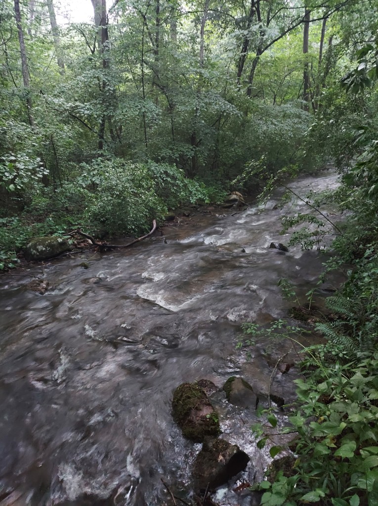
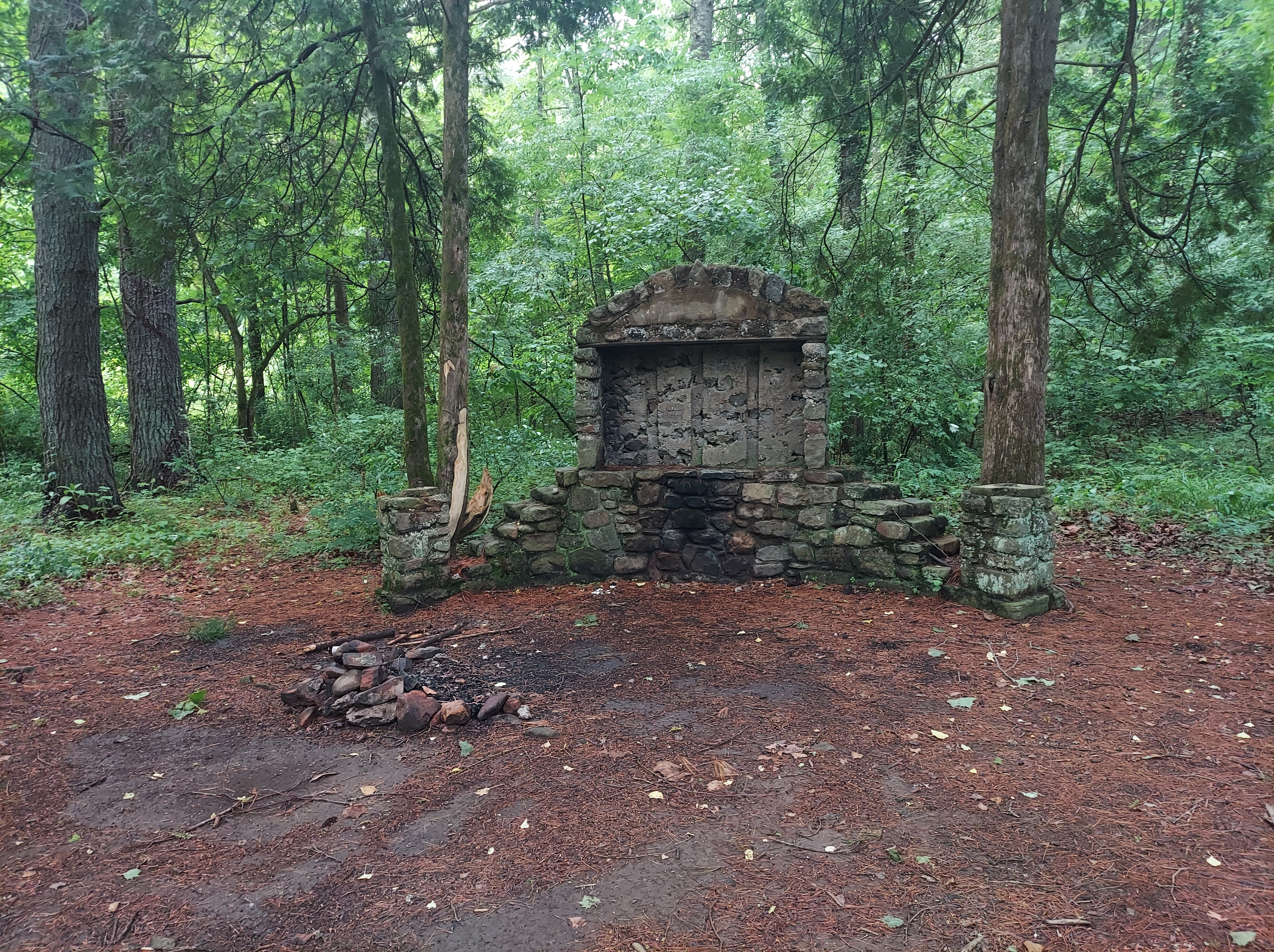
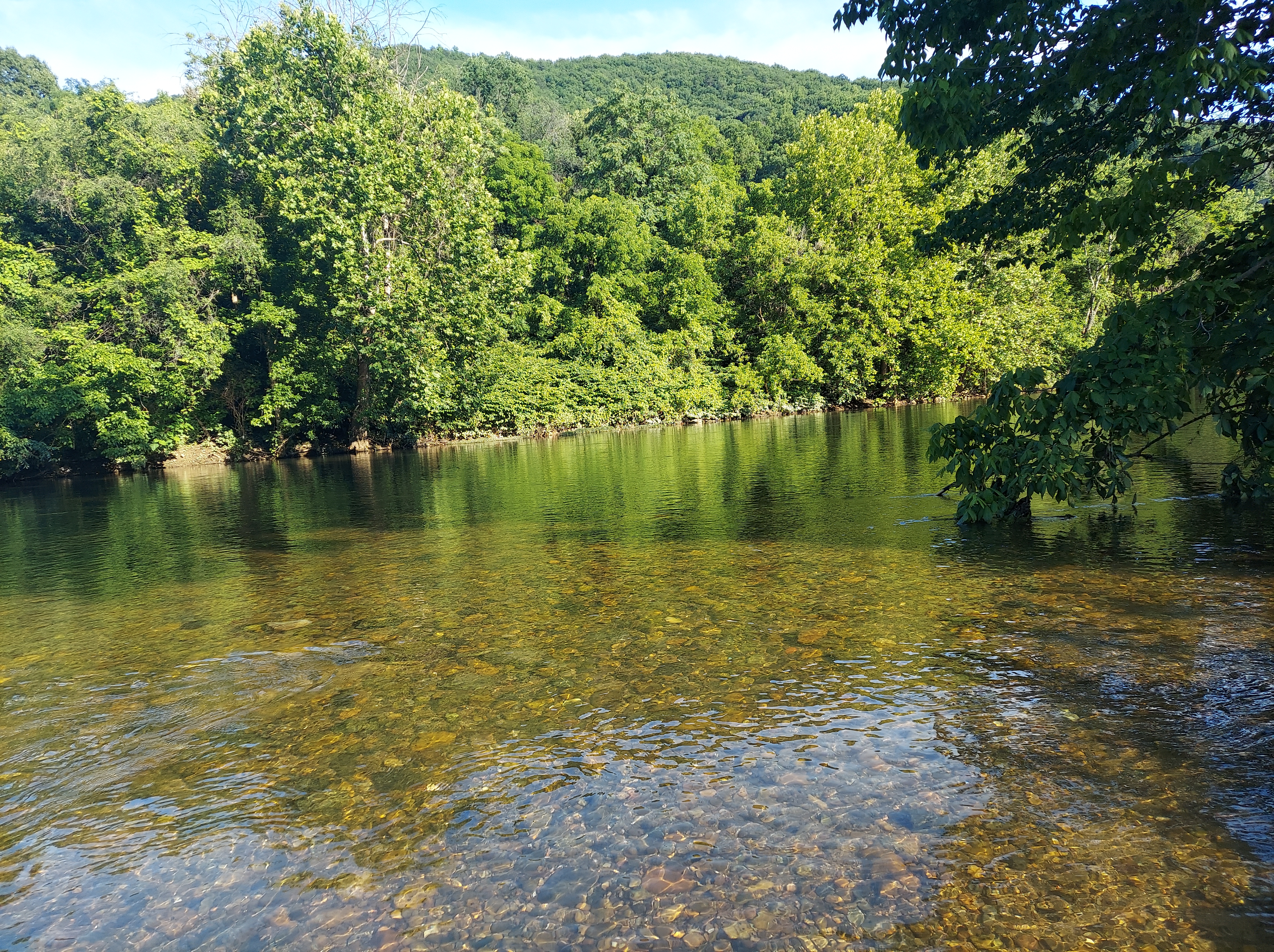
Just east of the Parkway on US-60 is Oronoco Campground, part of the National Forest and my camp for the night. There are several sites by the Pedlar River, but those were taken when I arrived. Other spaces were muddy and this is a flood-prone area. I found solitude in a single site among the pines, away from the river, and set up next to an interesting stone structure that I learned was the entrance sign when this was a Civilian Conservation Corps camp built in the 1930’s. Darkness came quickly, and my tent stayed dry.
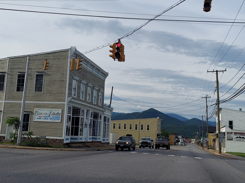
Early morning, I packed up and drove out, leaving the Parkway and dropping into the quiet valley town of Buena Vista, Virginia. This is the location of the first of sculptor Mark Cline’s creations on display in this valley.
THREE RIVERS AND A SWINGING BRIDGE
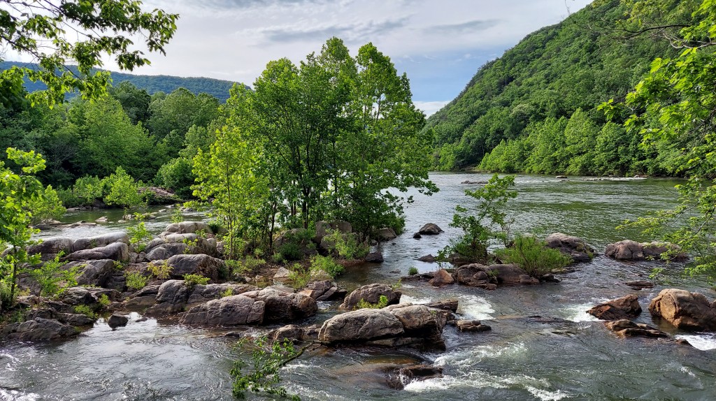
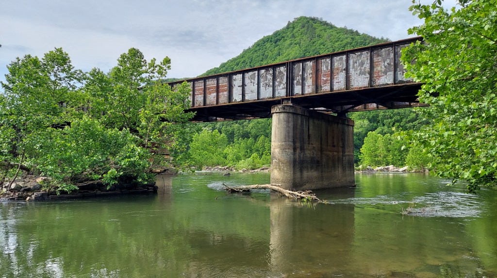
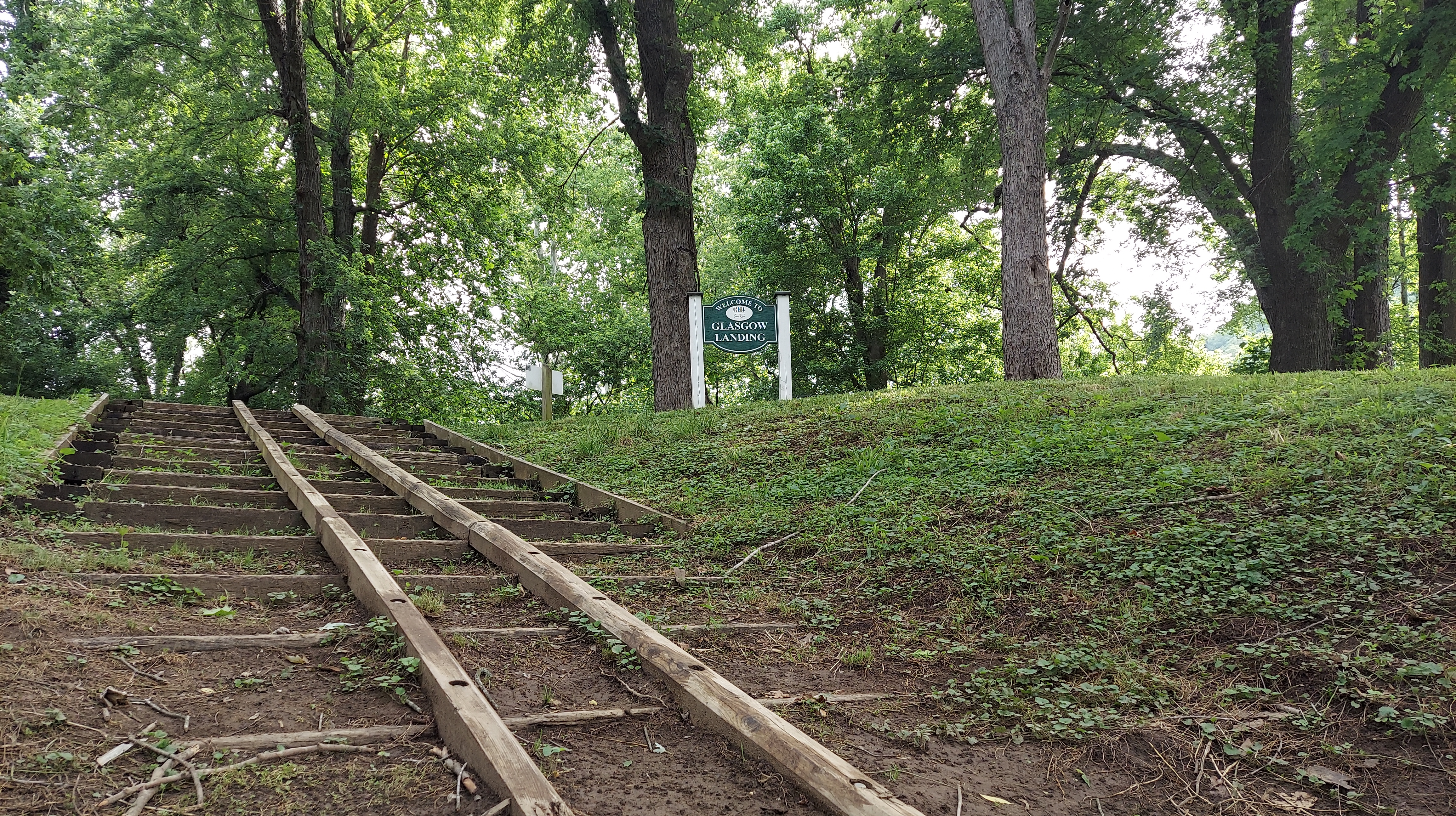
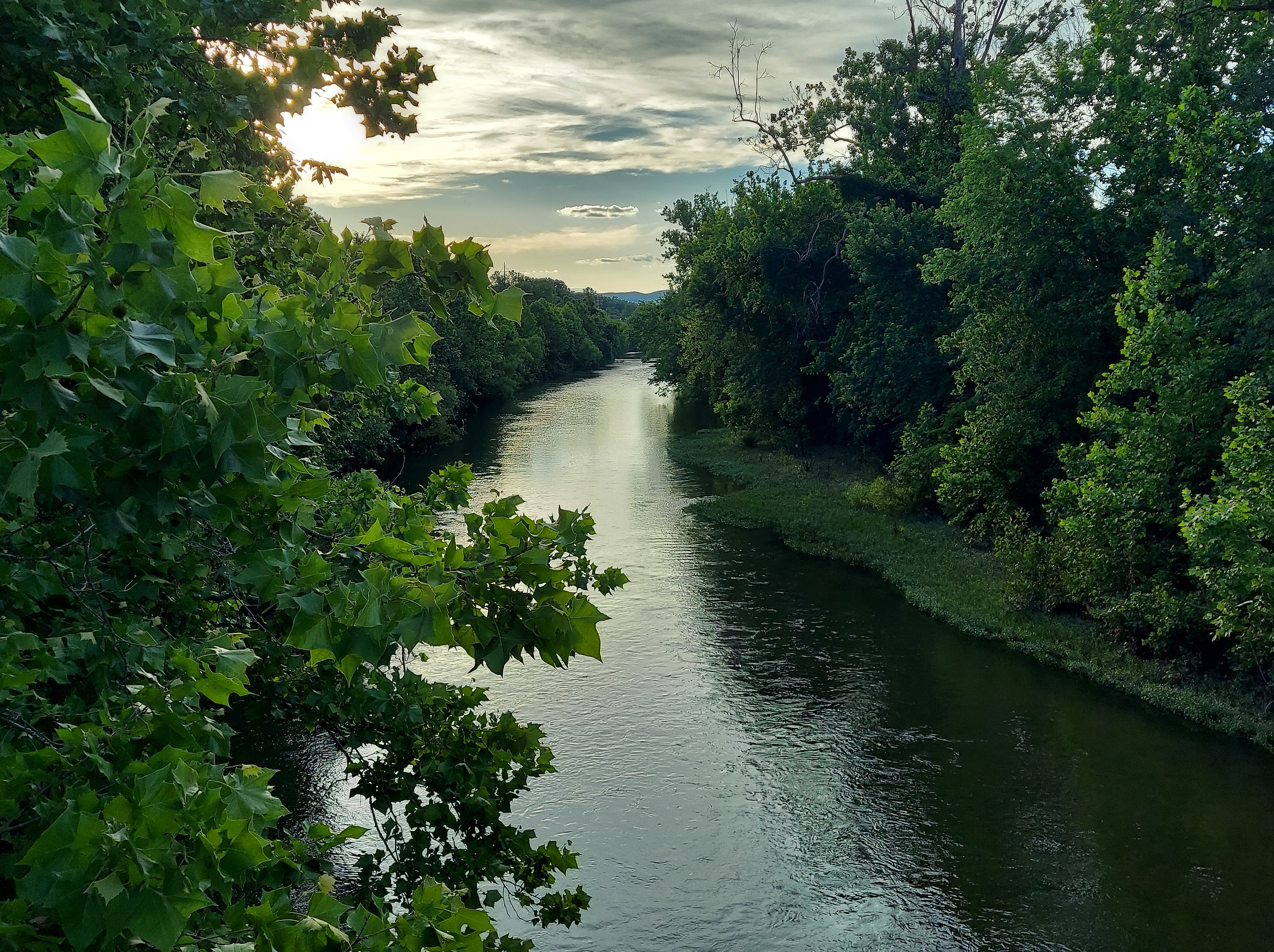
The Maury River flows through Buena Vista, and has flooded the town several times, most dramatically in 1969 from rain associated with Hurricane Camille. Buena Vista and Glasgow downstream were submerged in over 5 feet of water. At Glasgow, the Maury flows into the larger James River under a railroad trestle; here begins a section of water rapids as the James flows through its gorge and the Blue Ridge. The confluence is a popular put-in for canoes and kayaks, and there is a walking trail and picnic tables. I found the energy here exhilarating.

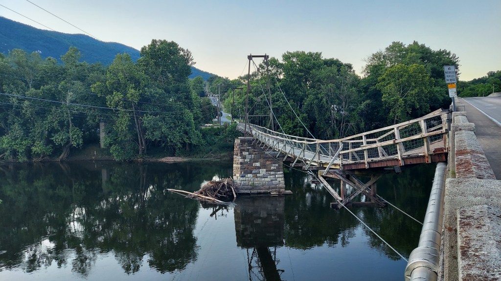
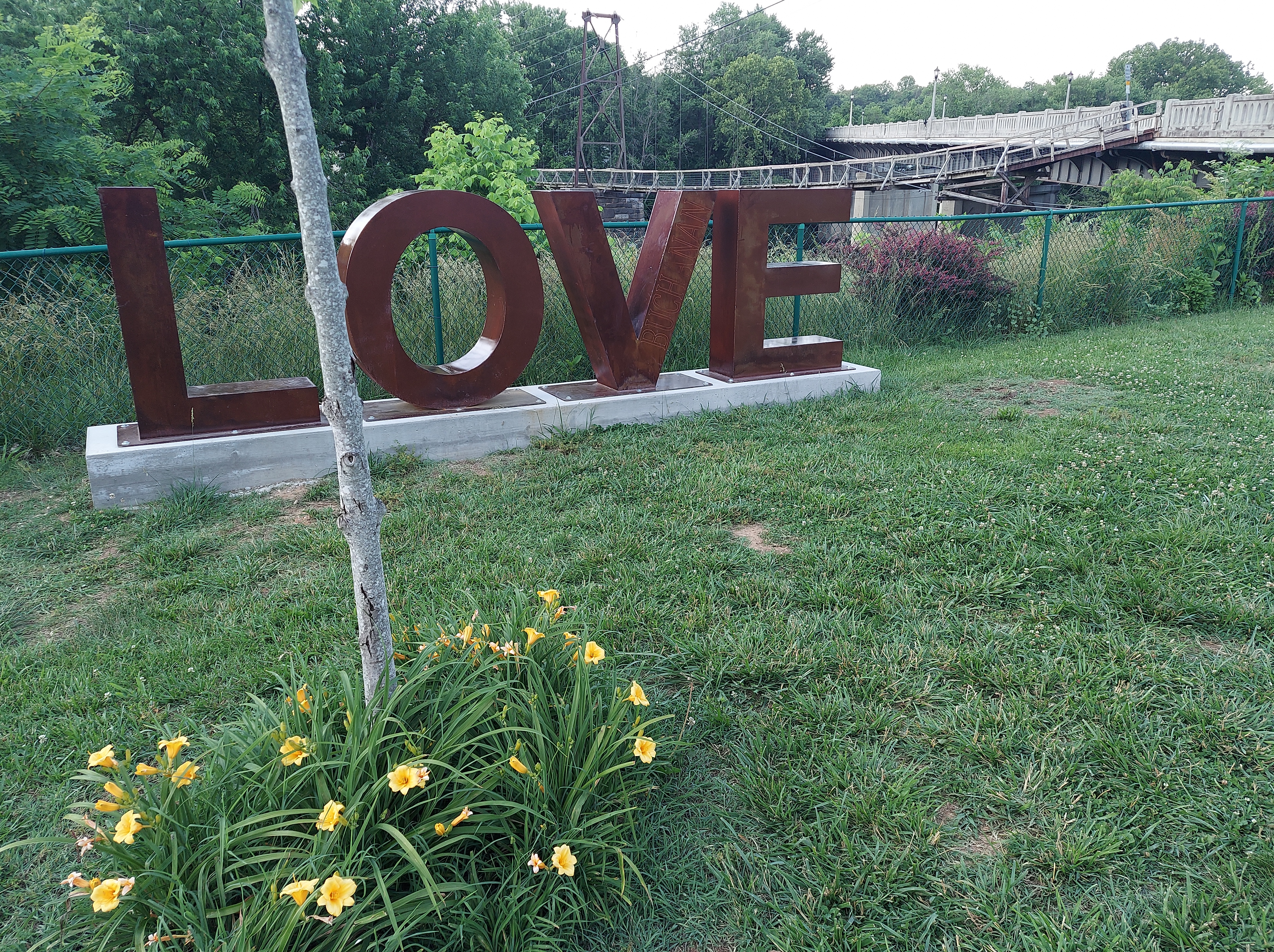
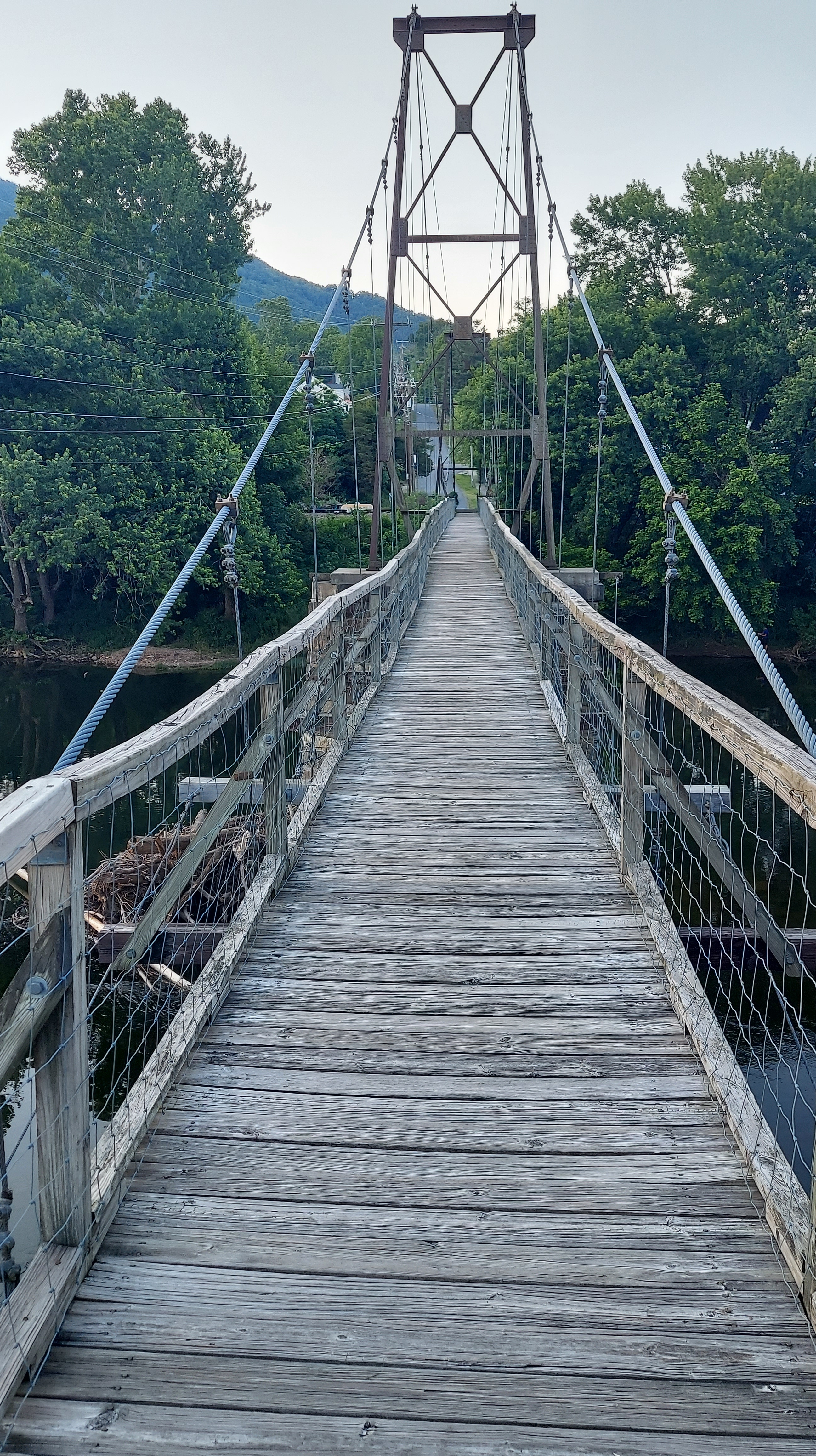
Upriver on the James is a swinging wooden bridge, in the town of Buchanan. This bridge was once a covered toll bridge and its stone supports were first built in 1851. It was burned in 1864, during the Civil War, and washed away in a flood after being rebuilt. One can still walk across it, and it looks awesome for its age, but the beams creaked a little too much for safety as I stood over the river.
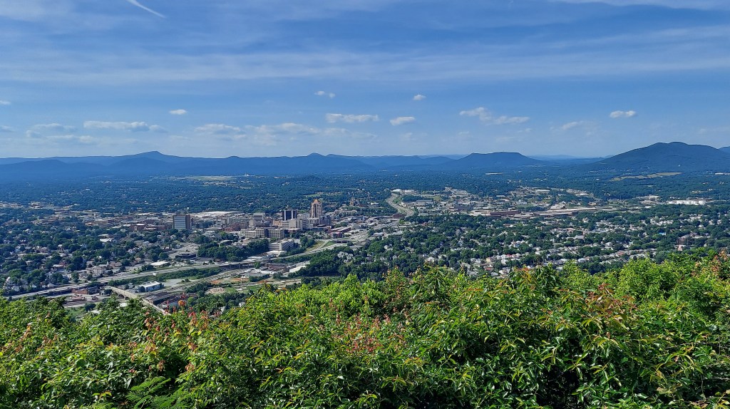
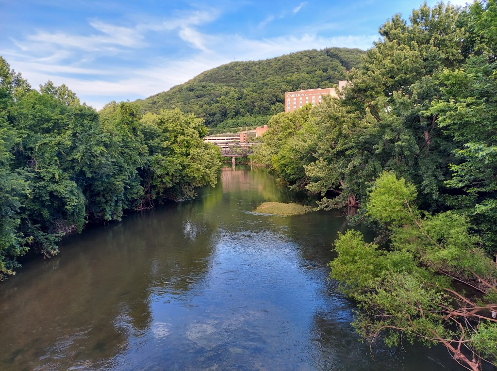
Over one more set of hills and I enter the Roanoke River valley on I-81. The humid air and clouds greet me on the way to downtown for my event gig, which is at an open park next to the river and greenway. Mill Mountain sits directly across the river, and I plan to go to the star, tomorrow. This city is pretty and it’s so nice to be back.
For more information:
The Inn at Afton and other hotels and restaurants at the junction https://thebackroadtraveler.wordpress.com/2019/09/17/baghdad-on-afton/
Maury River flooding https://en.m.wikipedia.org/wiki/Maury_River
Buchanan Bridge https://www.visitroanokeva.com/blog/post/local-history-buchanan-swinging-bridge-botetourt-county-virginia/
Lisa Bella Donna, synthesizer master and Appalachian mountain resident. She has performed at MoogFest and done workshops at universities in the region. https://lisabelladonna.com/
Listen to her music here, including my “parkway soundtrack” https://lisabelladonna.bandcamp.com/

3 thoughts on “The Quest for Blooming Rhododendron near Roanoke, Virginia – part 1: taking the scenic route”