August, 2014
The turquoise and black patterns of the Pomo dancers circle around the dance ground at the Napa Valley powwow in Yountville, CA. As the drumsticks click, I ponder the local nation’s homeland to the east, Clear Lake, and what it would be like to visit. I’ve been staying with my friend in Sonoma County, the western part of Wine Country, and as close as Lake County is, it’s about as far from the modern Bay Area mind as possible.
“Clear Lake’s not clear.”
“They shoot speed there.”
“The decay there spotlights the fade out of the American Dream.”
But Clear Lake is also geologically special – it runs along a fault line; there’s an extinct volcano on it’s shores, Mt. Konocti, and several geothermal springs rise around it. One of the springs nearby, now known as Harbin, has hosted various spiritual and wellness-oriented communities since the late 1960’s and gets a lot of weekend traffic from the Bay. It’s on the top of my list for nearby hot springs, so I pack the car for camping and open time and pick the most interesting route to get out there.
THE PETRIFIED FOREST – THE ROAD TRIP
To get from Santa Rosa to Napa Valley, you can take Calistoga Rd from town or Mark West Springs Rd off the 101 North, and they both meet at the Petrified Forest.
This is an ancient Redwood grove turned to stone by a volcanic eruption “to the northeast” and run as a roadside tourist attraction.
The road descends into Calistoga at the upper end of Napa Valley, and beside Old Faithful Geyser of California before the long, slow, ascent over Mt. St. Helena into Lake County.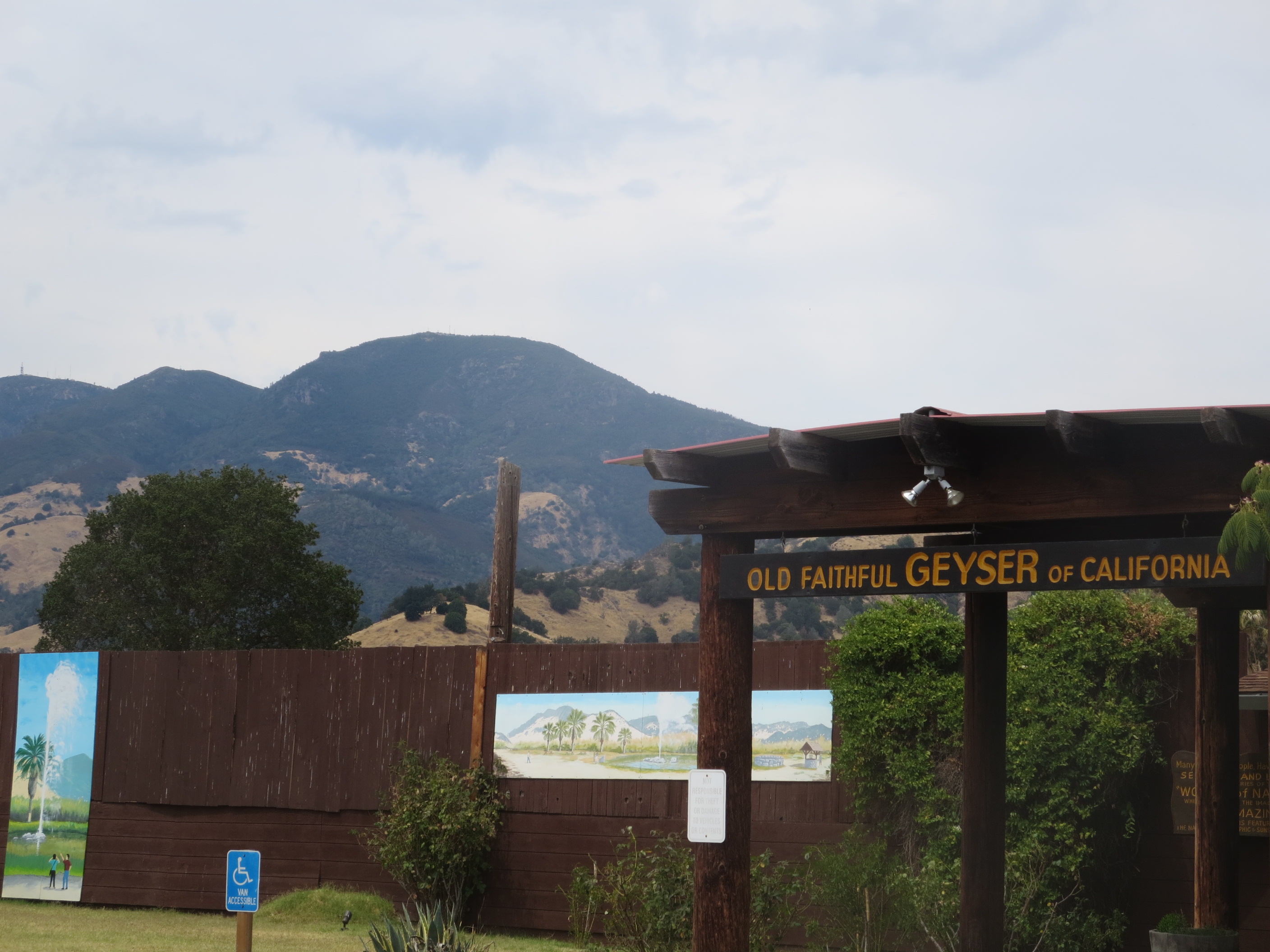
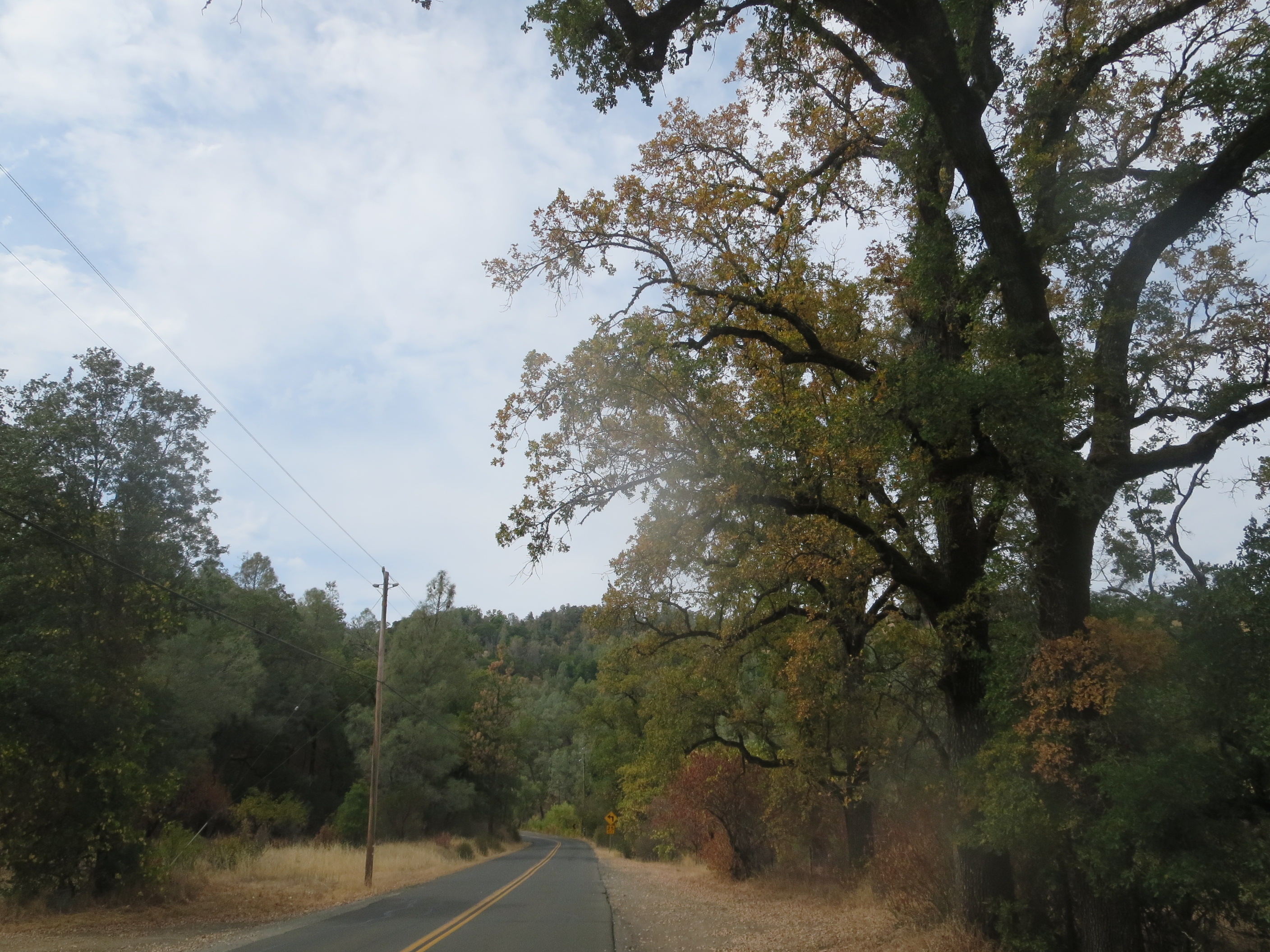
This is the highest peak in Wine Country and is also the volcanic source that petrified the old Redwood forest I passed earlier. On the other side, I turn left at Middletown and coast up the hill through lovely rolling oak hills into the Harbin Springs.
HARBIN HOT SPRINGS
Harbin costs me $40 to use the facilities for a day, including a membership, which is a lot, but that’s cheap compared to some of the upscale spa baths in the area. It’s clothing optional and therefore no photos are allowed on most of the grounds. There are many pools, including one super-hot pool I return to many times in the day, melting into a meditative state for the rest of the time here.
At night one of the center pools becomes a meeting of healers: A man from Mendocino offers me a free Watsu treatment, and so I accept, floating timelessly to his guiding hands. Harbin considers itself to be the birthplace of Watsu (aka water Shiatsu) in the USA and has practitioners on staff.
There are places for tent camping, but I lay out my sleeping bag on the deck and sleep under the clouds and stars to be close to the pools. In the morning, I follow the trails through the hillside woods before soaking again.
In mid-afternoon, after a time at the springs garden and cemetery, I drive off and onward toward Clear Lake, about 20 miles to the north. About midway, I descend a hill and my car pops and shuts down. The meditation is over and stress comes, hard.
LOWER LAKE BREAKDOWN
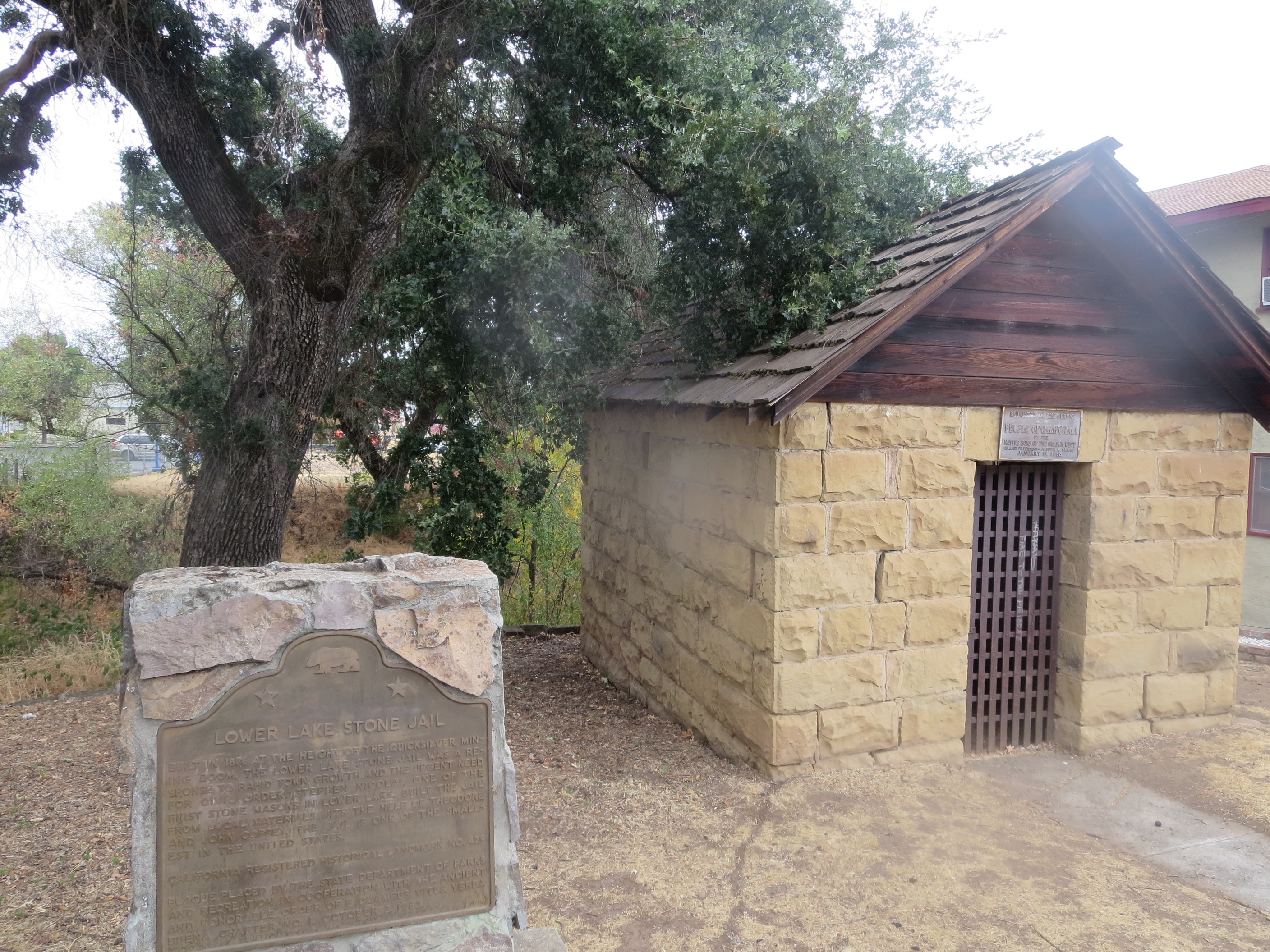
The tow truck takes me to the closest mechanic, in the town of Lower Lake. While waiting for test results, I take a walking tour. The lake is not visible from here, but there’s a historic one-room jail, “the smallest in California.” Across the street is a winery, Terrill Cellars, with a free tasting. Their Cabernet is dark, fruity, and delicious.
But when I get the call about my car, all enjoyment is gone…my car is done, they say. As in, its life is done. The head gasket blew, and it’s not worth it to repair. It’s too late to find a junkyard who may buy it, but I can leave it here for a month. All I can do now is try to find a ride and wait.
My friend’s mother will come up from Santa Rosa to get me next morning, and so I spend this night in my car behind the mechanic shop. Nothing bad or strange happens to me here.
THE RETURN – 28 DAYS LATER
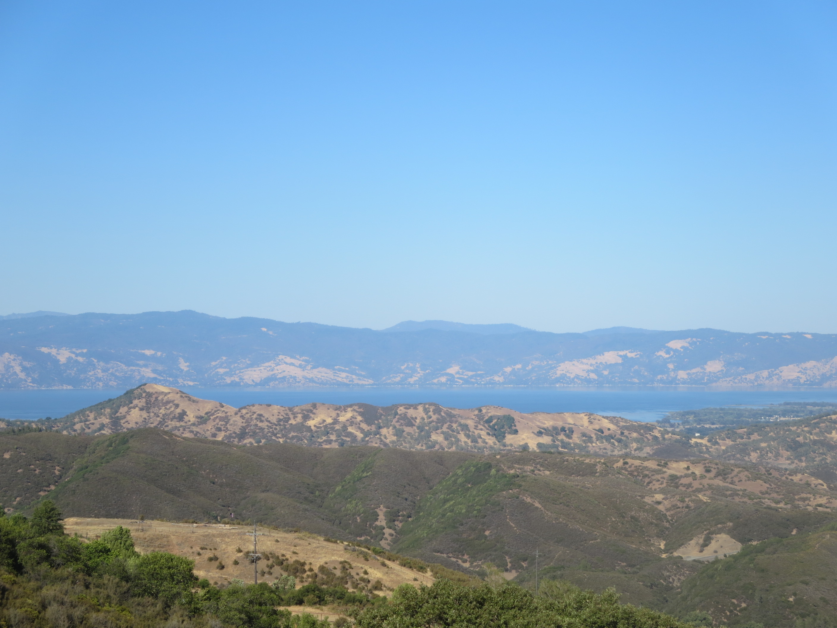
With another car, I make the journey back to Lake County in just under a month. This time, I take the 101 north to Hopland and cross the mountains, which gives this overlook of Clear Lake coming in…and it’s beautiful! The deep blue water, the mountains surrounding…and it’s “clear” that the whole basin is more or less a caldera of the Mt. Konocti standing on the lake’s south bank.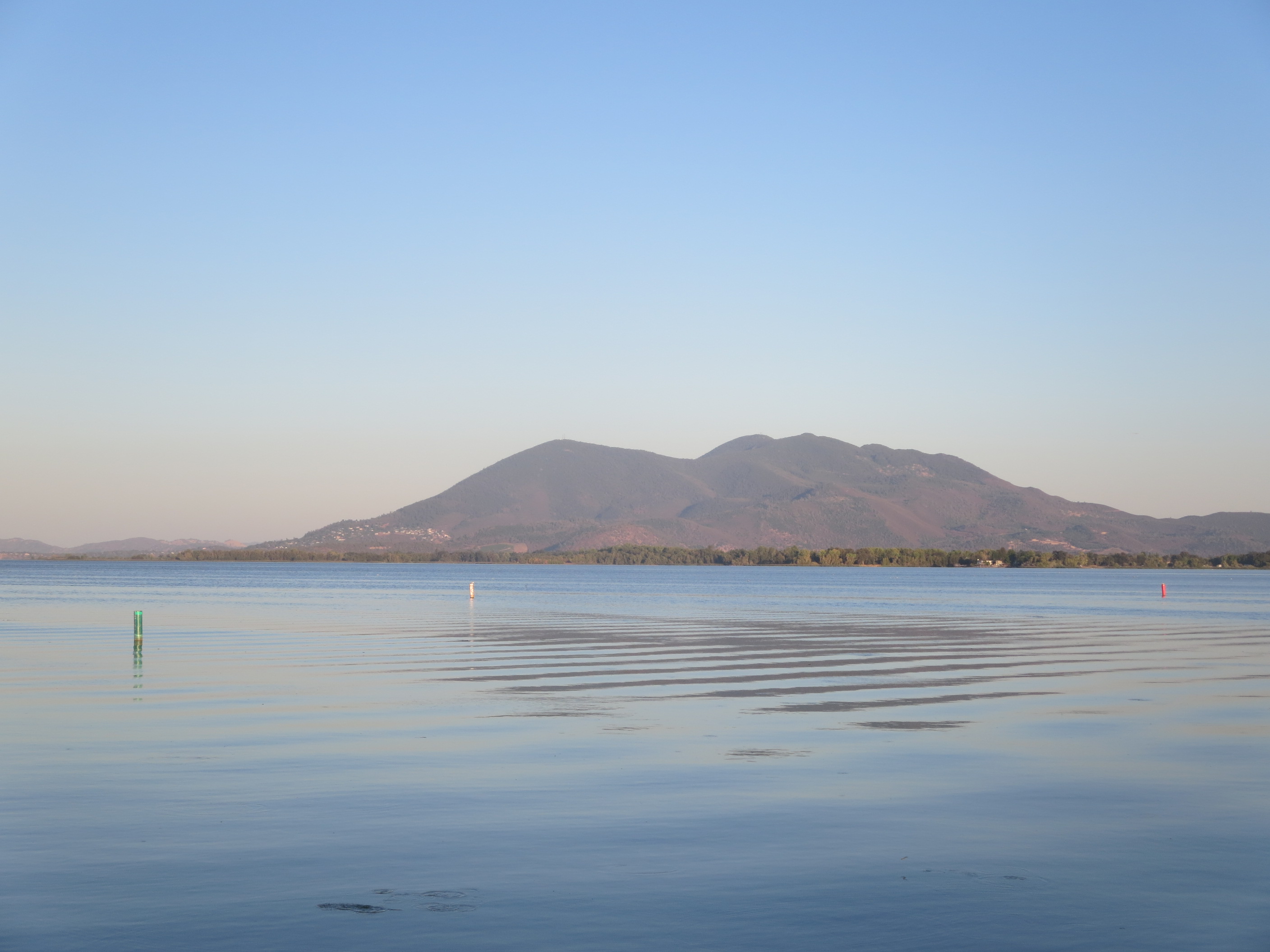
SODA BAY
On the lake side of Mt. Konocti is Soda Bay, where a spring brings carbon dioxide to the surface. There are remnants of once-active public water access along the shore, surrounded by trailers and abandoned buildings. This would be the ‘fade out of the American dream’ section…and as you walk out onto the lonely pier, the water looks like this:
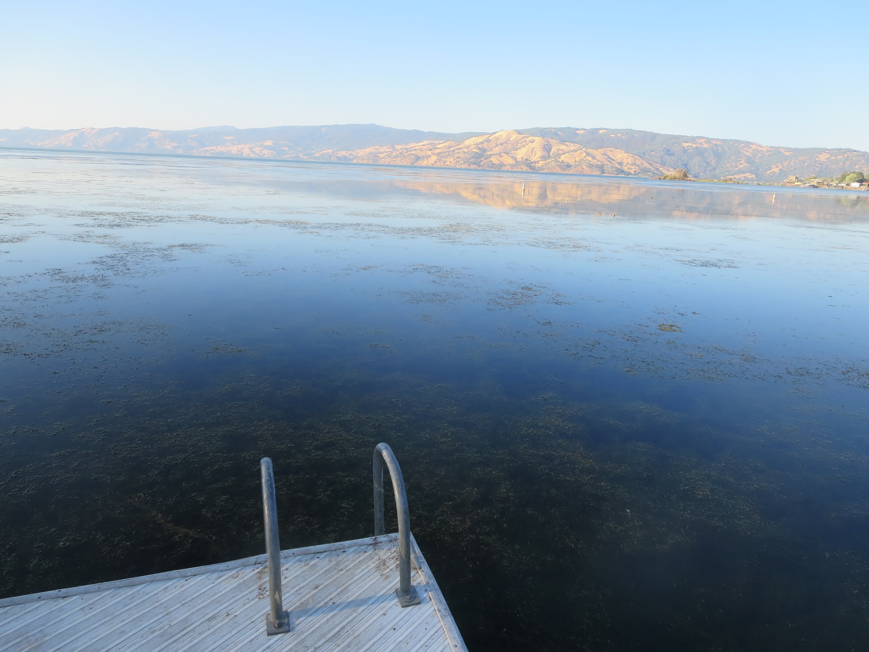
No, Clear Lake isn’t clear, it’s dirty, and polluted. Sewage from the towns used to flow into the lake, and because of small Cache creek being the only outflow, it retains a lot of its junk. Additionally, it has been contaminated with mercury from a nearby mine , The Sulphur Bank Mine, now a superfund site. Mercury, sulphur, and other minerals are present because of the volcanic activity. It’s sad to see a beautiful unique place in nature come to this, but this is a very real effect of human industry.
THE POMO
People have been living around Clear Lake, according to archaeological research, for at least 11,000 years. The Pomo nation is among these, and they were here when Europeans from the east arrived around 1845. On the north side of Clear Lake, there was a massacre of up to 200 Pomo by a US Army division in response to a revolt against abuse and enslavement. It is known as the “Bloody Island Massacre” but the water has since covered the island. I did not visit the monument due to time but I wish I had.
One of the abusers of the Pomo that led to the revolt and massacre was Andrew Kelsey, whose name lives on in Kelseyville, the town to the west of Mt. Konocti. This is the location of the auto salvage that would buy my blown-out car (and where it still lives today). West of Kelseyville is a modern-day rancheria and tribal casino, where I would sleep in the car for the night. It is a peaceful sleep, and the casino holds some Pomo cultural history and crafts (reed baskets, for example).
About the Pomo (with basket photos)
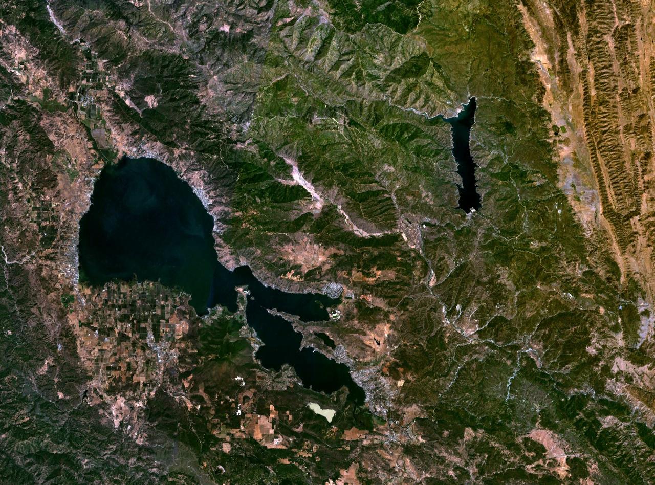
Clear Lake satellite view (pub domain from Wikipedia)
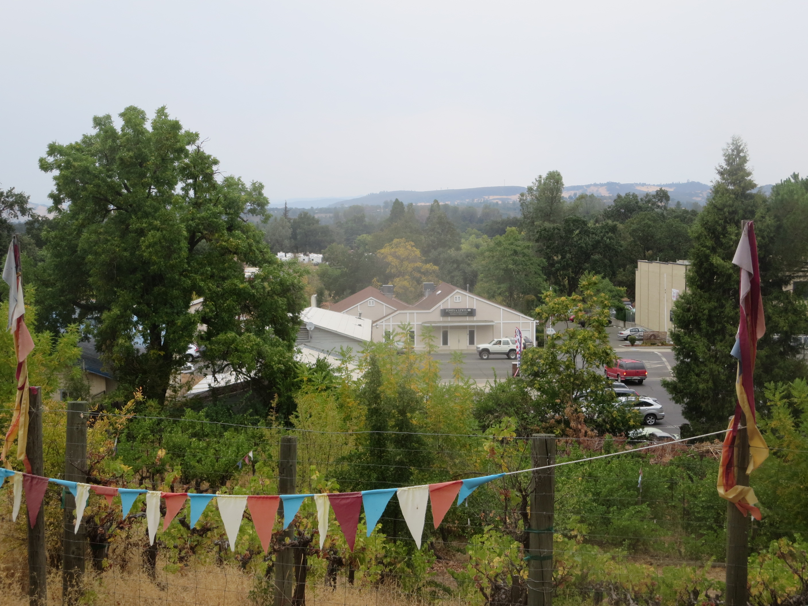
LAKEPORT
Along the western bank of the lake is Lakeport, the largest town in the area. There is a main downtown strip and a waterfront park. While walking by an antique shop, a lady invites me up to the community radio station. Up in the studio, they are doing a show called “Pagan World View.” The DJs are a group of old (white) hippy pagans, talking about the fig and its importance in world religion and myth in honor of the fig harvest. After the segment, I am hungry for figs and ask where to get them. They direct me out the back door and there is a tall fig tree hanging over the fence, with some fruit left. It is worth climbing the fence to get these delicious figs.
Boats float out in the lake as I sit at the waterfront park, eating fresh figs. The park is more or less calm, with some kids and parents playing in one area and a group of drunk travelers sitting in another. No one is shooting drugs here. Across the water to the north, the massacre site hides in the lake’s dirty shallows, the horror that seeps through and unsettles, reminds us of human evils and the resilience of the Pomo people. 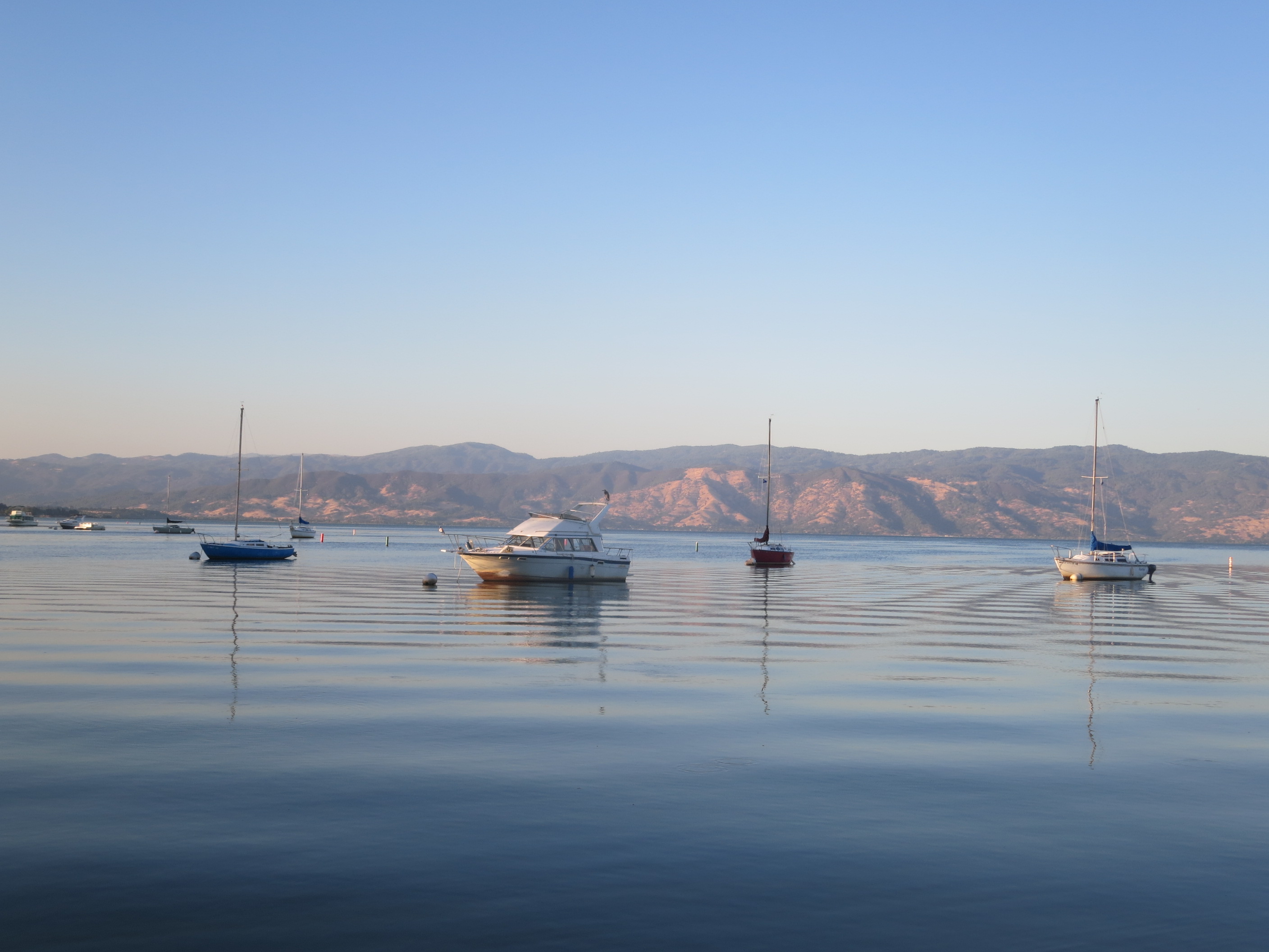
2015 update: About a year after my visit, the Valley Fire destroyed many trees and buildings in Lake County, including Harbin Hot Springs. So, as of this writing in 2016, Harbin is closed and they are working on rebuilding.
http://kpfz.org/ 88.1 Lakeport community radio website
reference wikipedia page:
https://en.wikipedia.org/wiki/Clear_Lake_(California)

One thought on “CLEAR LAKE & HARBIN HOT SPRINGS, CALIFORNIA”